Hoher Weißzint
Trentino-Alto Adige
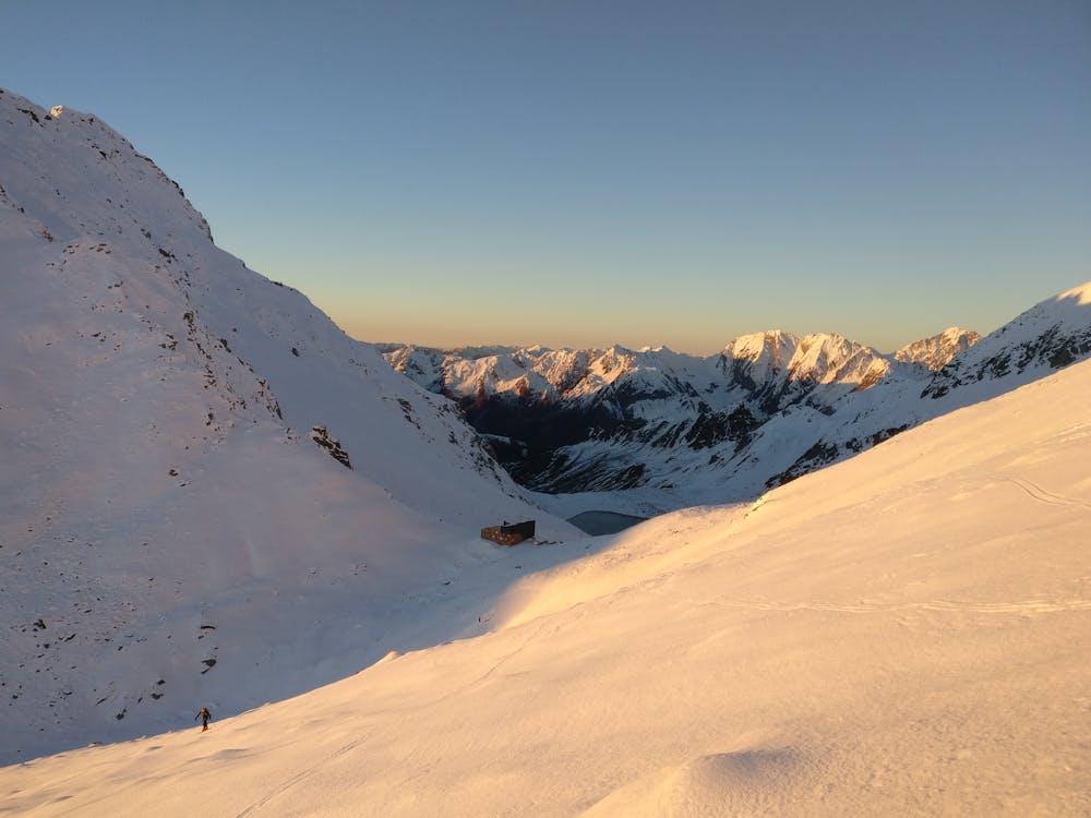
Skitour - Neveser Stausee
Ski Touring Moderate
- Distance
- 7.9 km
- Ascent
- 1.6 km
- Descent
- 64 m
- Duration
- 5-6 hrs
- Low Point
- 1.8 km
- High Point
- 3.4 km
- Gradient
- 34˚

This is a popular ski touring route which is generally considered to be moderate. It's remote, it features medium exposure (e2) and is typically done between April and May. From a low point of 1.8 km to the maximum altitude of 3.4 km, the route covers 7.9 km, 1557 vertical metres of ascent and 64 vertical metres of descent. You'll need skins, ice axe and crampons to complete it safely.
Description
Tourenbericht und Wegbeschreibung: https://www.suedtirolalpin.com/post/hoher-weißzint-skitour
www.suedtirolalpin.com
Difficulty
Moderate
Slopes become slightly steeper at around 25-30 degrees.
Medium Exposure (E2)

As well as the slope itself, there are some obstacles (such as rock outcrops) which could aggravate injury.
Remoteness
Away from help but easily accessed.
Best time to visit
Features
- Alpine
- Cliffs
- Ski Mountaineering
Equipment required
- Skins
- Ice axe
- Crampons