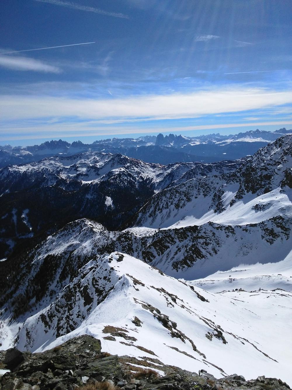
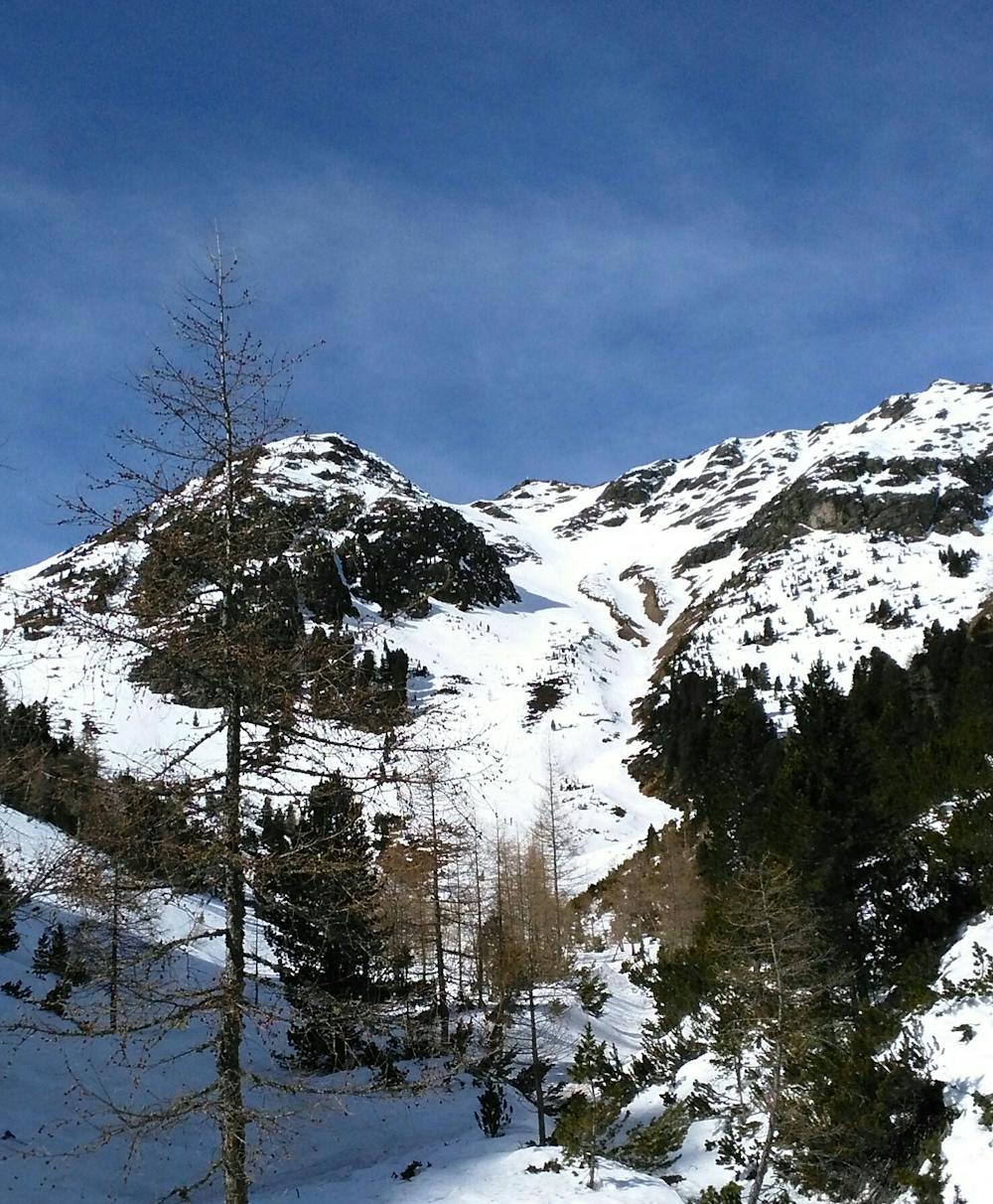
Liffelspitze canale sud est
Trentino-Alto Adige
Salita breve e divertente canale in discesa
Ski Touring Difficult
- Distance
- 9.1 km
- Ascent
- 980 m
- Descent
- 980 m
- Duration
- 4-5 hrs
- Low Point
- 1.7 km
- High Point
- 2.6 km
- Gradient
- 40˚

This is a popular ski touring route which is generally considered to be difficult. It's not remote, it features low exposure (e1) and is typically done between November and March. From a low point of 1.7 km to the maximum altitude of 2.6 km, the route covers 9.1 km, 980 vertical metres of ascent and 980 vertical metres of descent. It's graded 3.1 and Labande grade 3. You'll need crampons to complete it safely.
- •
- •
Description
Salita in bell'ambiente. Dorsale finale con sci ai piedi se innevata, altrimenti per sfasciumi. Canale sud est di discesa con prima parte sui 40°. Valutare bene le condizioni per il canale altrimenti discesa sulla via di salita.
Difficulty
Difficult
Serious gradient of 30-38 degrees where a real risk of slipping exists.
Low Exposure (E1)

Exposure is limited to that of the slope itself. Getting hurt is still likely if the slope is steep and/or the snow is hard.
Remoteness
Close to help in case of emergency.
Best time to visit
Features
- Couloir
Equipment required
- Crampons