9.9 km away
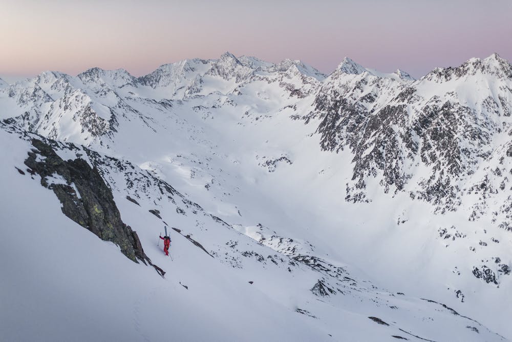
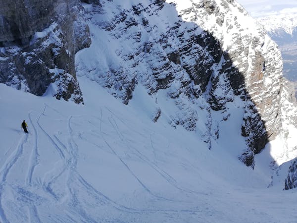
Zuckerhütl
A wonderful, varied and scenic tour to the highest peak in the Stubai range.
Difficult Ski Touring
- Distance
- 8.2 km
- Ascent
- 920 m
- Descent
- 920 m
Adventourus and pretty long for a whole day tour but for sure doable
Also in Tirol, Austria
Ski Touring Difficult

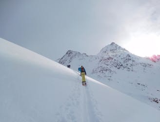
This is a popular ski touring route which is generally considered to be difficult. It's very remote, it features low exposure (e1) and is typically done between February and April. From a low point of 1.8 km to the maximum altitude of 3.1 km, the route covers 20 km, 1581 vertical metres of ascent and 2789 vertical metres of descent. It's graded 2.3 and Labande grade 3. You'll need skins and crampons to complete it safely.
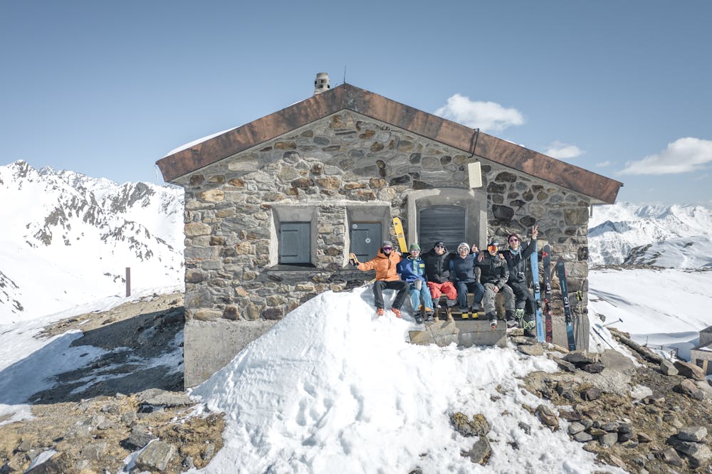
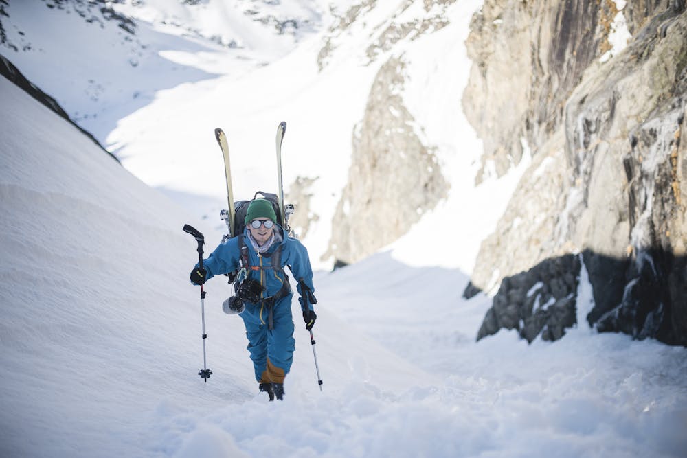
Long but moderate in difficulty. Started the tour at 4am after sleeping in a mountain hut. This multi day trip touring around the mountain hut with our escape route to the Stubai valley is available in multi award winning movie called "metanoia"
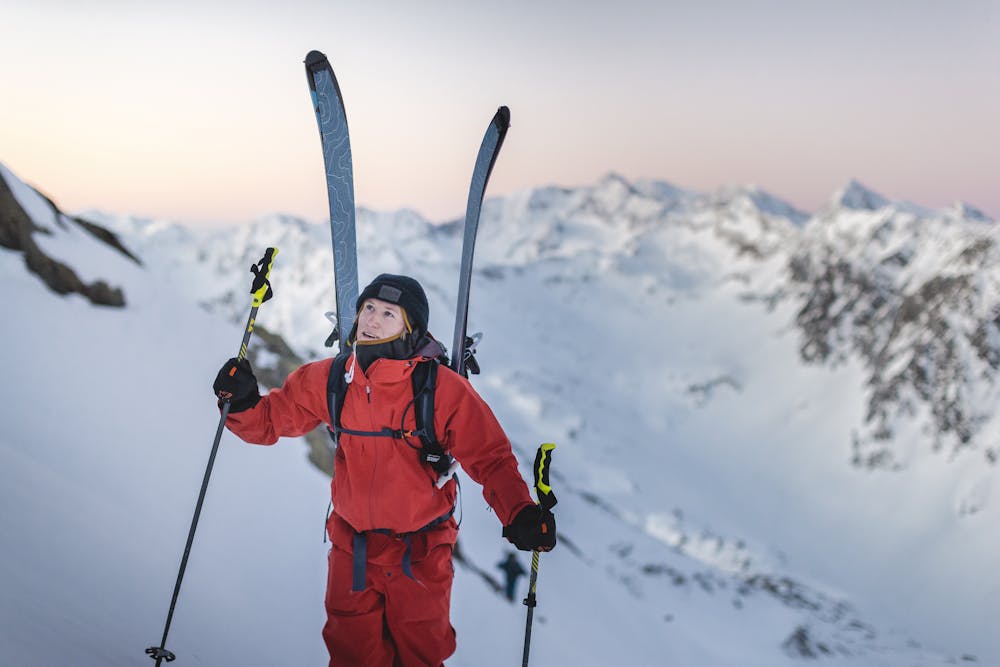
Difficult
Serious gradient of 30-38 degrees where a real risk of slipping exists.

Exposure is limited to that of the slope itself. Getting hurt is still likely if the slope is steep and/or the snow is hard.

Little chance of being seen or helped in case of an accident.
9.9 km away
A wonderful, varied and scenic tour to the highest peak in the Stubai range.
Difficult Ski Touring

25 routes · Ski Touring
6 routes · Ski Touring