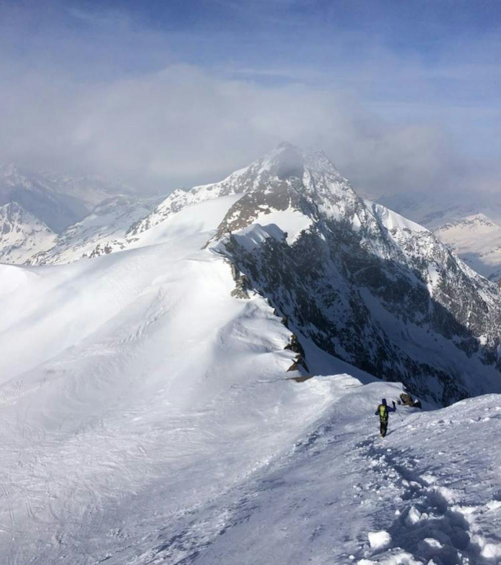
Östliche Simonyspitze
Trentino-Alto Adige
lange Skitourenrunde
Ski Touring Difficult
- Distance
- 40 km
- Ascent
- 3.7 km
- Descent
- 3.7 km
- Duration
- 1 day +
- Low Point
- 1.6 km
- High Point
- 3.4 km
- Gradient
- 27˚

This is a popular ski touring route which is generally considered to be difficult. It's remote, it features medium exposure (e2) and is typically done between March and April. From a low point of 1.6 km to the maximum altitude of 3.4 km, the route covers 40 km, 3666 vertical metres of ascent and 3666 vertical metres of descent. You'll need rope, skins and glacier kit to complete it safely.
Description
Tourenbericht: https://www.suedtirolalpin.com/post/skitourenrunde-ahrntal
www.suedtirolalpin.com
Difficulty
Difficult
Serious gradient of 30-38 degrees where a real risk of slipping exists.
Medium Exposure (E2)

As well as the slope itself, there are some obstacles (such as rock outcrops) which could aggravate injury.
Remoteness
Away from help but easily accessed.
Best time to visit
Features
- Face
- Alpine
- Ski Mountaineering
Equipment required
- Rope
- Skins
- Glacier kit