Sarntaler Alpen - Skitourenrunde
Trentino-Alto Adige
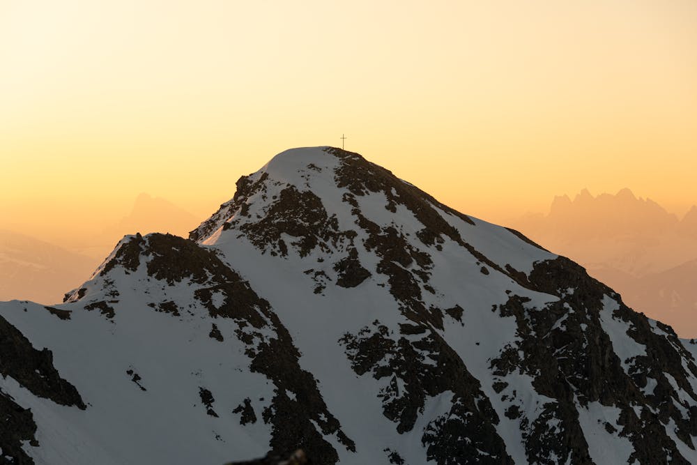
Kassianspitze, Plankenhorn, Gasihorn, Lorenzispitze
Ski Touring Moderate
- Distance
- 13 km
- Ascent
- 1.7 km
- Descent
- 1.7 km
- Duration
- 7-8 hrs
- Low Point
- 1.5 km
- High Point
- 2.6 km
- Gradient
- 42˚

This is a popular ski touring route which is generally considered to be moderate. It's not remote, it features medium exposure (e2) and is typically done between January and March. From a low point of 1.5 km to the maximum altitude of 2.6 km, the route covers 13 km, 1691 vertical metres of ascent and 1691 vertical metres of descent. You'll need skins to complete it safely.
Description
Tourenbericht und Wegbeschreibung: https://www.suedtirolalpin.com/post/sarntaler-alpen-skitourenrunde
www.suedtirolalpin.com
Difficulty
Moderate
Slopes become slightly steeper at around 25-30 degrees.
Medium Exposure (E2)

As well as the slope itself, there are some obstacles (such as rock outcrops) which could aggravate injury.
Remoteness

Close to help in case of emergency.
Best time to visit
Features
- Ski Mountaineering
Equipment required
- Skins