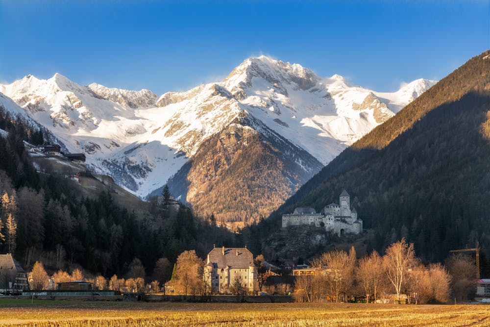
Schwarzenstein
Trentino-Alto Adige
Trippachtal - Skitour
Ski Touring Moderate
- Distance
- 6.6 km
- Ascent
- 2.1 km
- Descent
- 4 m
- Duration
- 6-7 hrs
- Low Point
- 1.2 km
- High Point
- 3.3 km
- Gradient
- 36˚

This is a popular ski touring route which is generally considered to be moderate. It's remote, it features low exposure (e1) and is typically done between January and April. From a low point of 1.2 km to the maximum altitude of 3.3 km, the route covers 6.6 km, 2113 vertical metres of ascent and 4 vertical metres of descent. You'll need skins and crampons to complete it safely.
Description
Tourenbericht und Wegbeschreibung: https://www.suedtirolalpin.com/post/schwarzenstein-skitour
www.suedtirolalpin.com
Difficulty
Moderate
Slopes become slightly steeper at around 25-30 degrees.
Low Exposure (E1)

Exposure is limited to that of the slope itself. Getting hurt is still likely if the slope is steep and/or the snow is hard.
Remoteness

Away from help but easily accessed.
Best time to visit
Features
- Ski Mountaineering
Equipment required
- Skins
- Crampons