7.9 km away
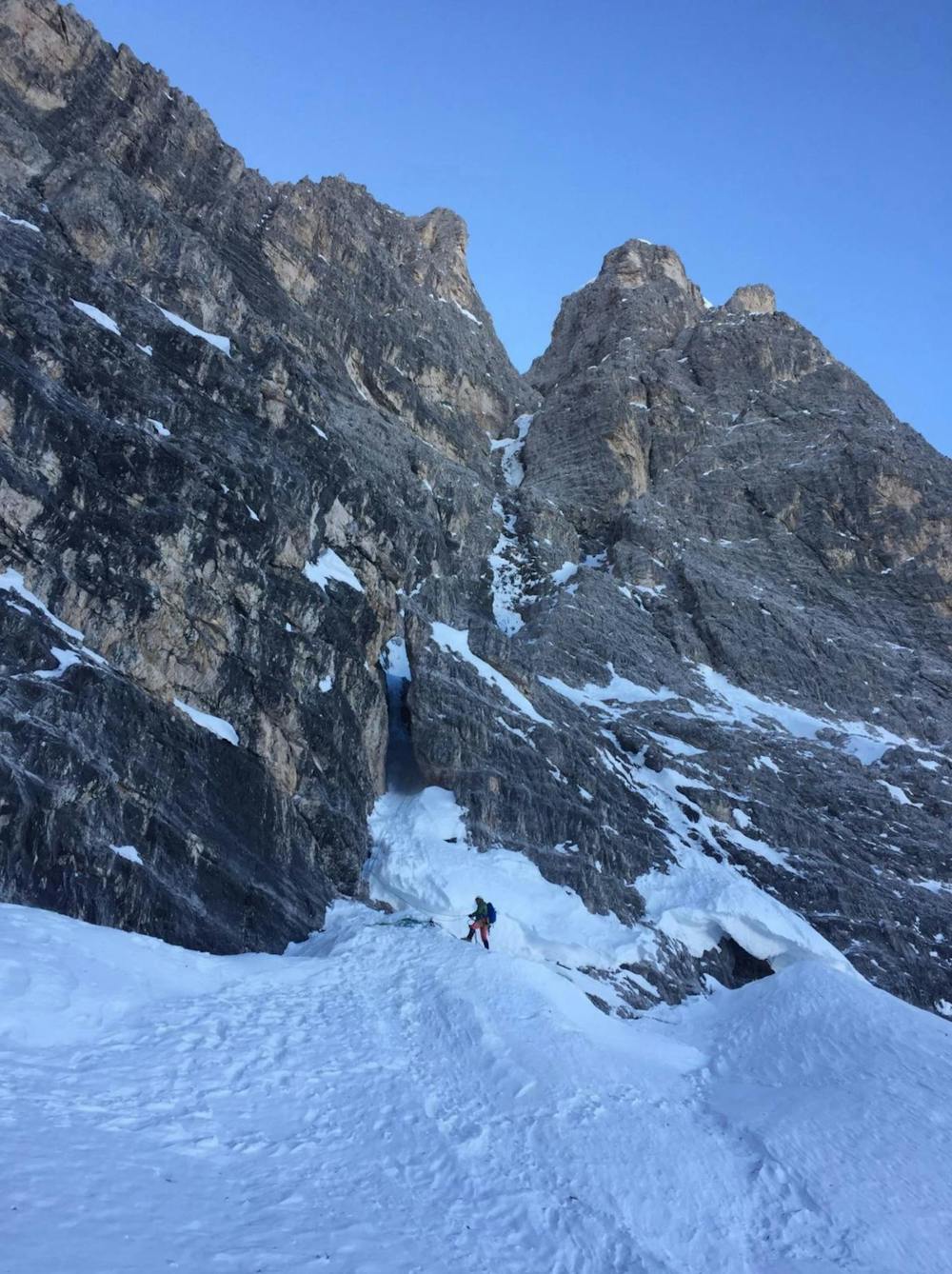
Haunold Couloir
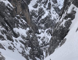
A stunning couloir in Sexten Dolomites.
Difficult Ski Touring
- Distance
- 7.2 km
- Ascent
- 1.3 km
- Descent
- 1.3 km
Eis- und Mixedklettern
Ski Touring Extreme

This is a popular ski touring route which is generally considered to be extreme. It's very remote, it features extreme exposure (e4) and is typically done between January and March. From a low point of 1.4 km to the maximum altitude of 2.8 km, the route covers 5.9 km, 1332 vertical metres of ascent and 17 vertical metres of descent. You'll need rope, skins, ice axe and crampons to complete it safely.
Tourenbericht und Topo: https://www.suedtirolalpin.it/post/zsigmondycouloir
Extreme
Extreme skiing terrain above 45 degrees. These routes are reserved for experienced experts.

In case of a fall, the skier faces certain death.

Little chance of being seen or helped in case of an accident.
7.9 km away
A stunning couloir in Sexten Dolomites.
Difficult Ski Touring