Skyrun Jakobspitze
Trentino-Alto Adige
nice and steep skyrun up to the summit 2734m
Trail Running Extreme
- Distance
- 20 km
- Ascent
- 1.3 km
- Descent
- 1.3 km
- Duration
- 3-4 hrs
- Low Point
- 1.5 km
- High Point
- 2.7 km
- Gradient
- 18˚
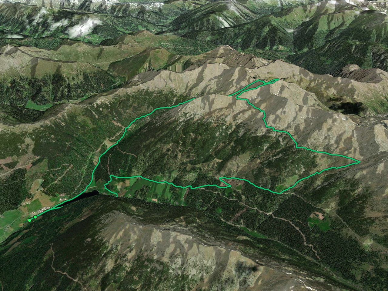
This is a popular trail running route which is generally considered to be extreme. It's remote, it features high exposure and is typically done between June and August. From a low point of 1.5 km to the maximum altitude of 2.7 km, the route covers 20 km, 1289 vertical metres of ascent and 1296 vertical metres of descent.
Description
nice skyrunning experience in the alps
Difficulty
Extreme
High Exposure

Some trail sections have exposed ledges or steep ascents/descents where falling could cause serious injury.
Remoteness

Away from help but easily accessed.