17 m away
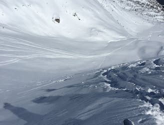
Canale del Diavolo
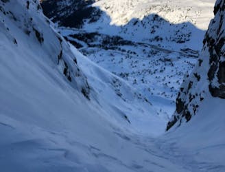
A stunning north facing couloir in Passo Tonale.
Difficult Freeride Skiing
- Distance
- 3 km
- Ascent
- 59 m
- Descent
- 787 m
Una classica al Tonale
Freeride Skiing Difficult

This is a popular freeride skiing route which is generally considered to be difficult. It's remote, it features medium exposure (e2) and is typically done between December and May. From a low point of 1.9 km to the maximum altitude of 2.6 km, the route covers 2.7 km, 59 vertical metres of ascent and 763 vertical metres of descent. You'll need ice axe and crampons to complete it safely.
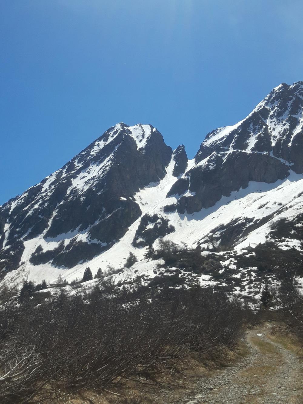
Uno dei più bei canali della zona
Difficult
Serious gradient of 30-38 degrees where a real risk of slipping exists.

As well as the slope itself, there are some obstacles (such as rock outcrops) which could aggravate injury.
Away from help but easily accessed.
17 m away
A stunning north facing couloir in Passo Tonale.
Difficult Freeride Skiing
2.1 km away
The most famous freeride area in Passo Tonale.
Moderate Freeride Skiing