Monte Guglielmo from Pezzoro
Ascent to Monte Guglielmo from Pezzoro, through Rifugio Almici
Hiking Moderate
- Distance
- 16 km
- Ascent
- 1.2 km
- Descent
- 1.2 km
- Duration
- 5-6 hrs
- Low Point
- 894 m
- High Point
- 1.9 km
- Gradient
- 17˚

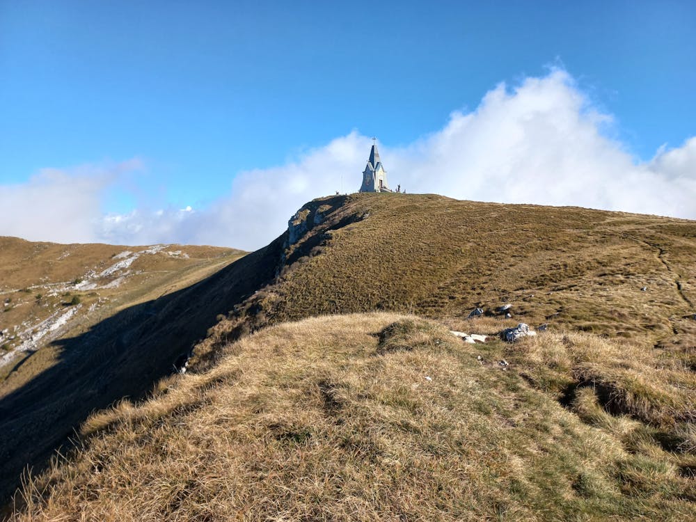
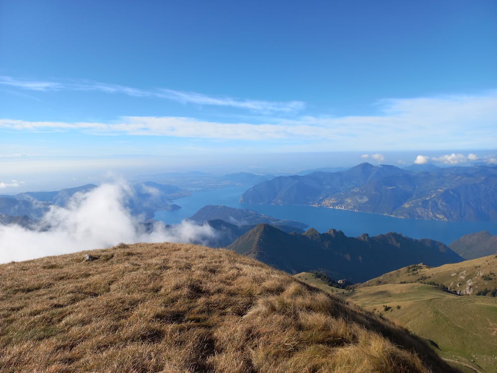
Nice ascent to Monte Guglielmo from Valtrompia. The path is easy to find thanks the signs. There aren't big difficulties along the way, anyway I don't suggest it for families. You can easily find parcking in Pezzoro. Follow the road up to the Rifugio Valtrompia; after that follow the path 325 up to the mountain ridge and the Monumento al Redentore. The refuge is a little further down. You can go back on the same way or keep the path 326 on the ridge and then follow it up to the road. Just follow the road east up to the Rifugio Valtrompia.
- •
- •
Difficulty
Moderate
Hiking along trails with some uneven terrain and small hills. Small rocks and roots may be present.
Medium Exposure

The trail contains some obstacles such as outcroppings and rock which could cause injury.
Remoteness

Close to help in case of emergency.