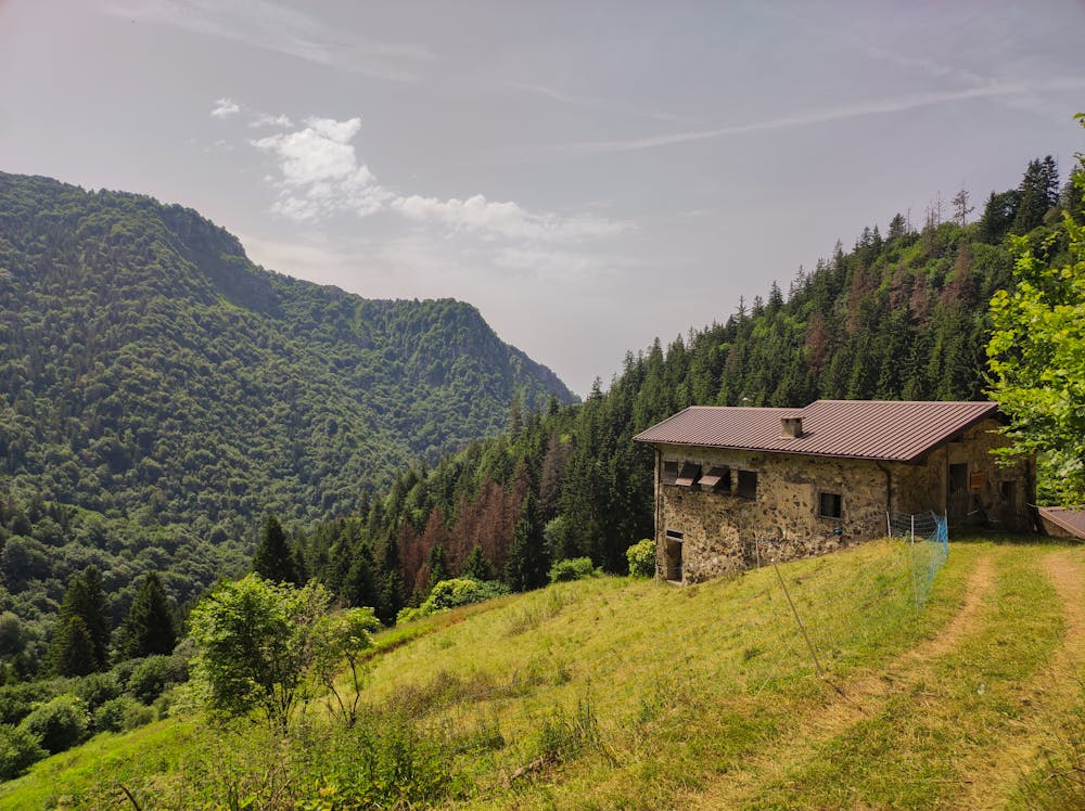
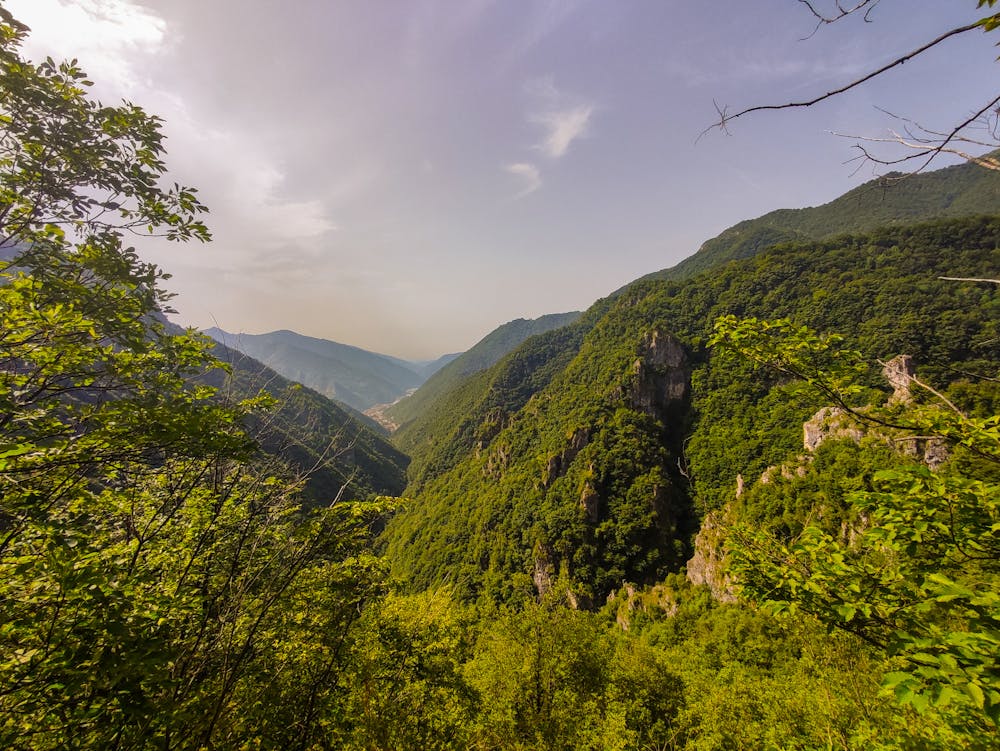
Croce di Marone - Valle di Inzino e Valle della Lana
Croce di Marone dalla Valle di Inzino
Trail Running Moderate
- Distance
- 14 km
- Ascent
- 891 m
- Descent
- 892 m
- Duration
- 2-3 hrs
- Low Point
- 441 m
- High Point
- 1.3 km
- Gradient
- 16˚

This is a popular trail running route which is generally considered to be moderate. It's not remote, it features medium exposure and is typically done between March and October. From a low point of 441 m to the maximum altitude of 1.3 km, the route covers 14 km, 891 vertical metres of ascent and 892 vertical metres of descent.
- •
- •
Description
Croce di Marone dalla Valle di Inzino salendo dalla valle della Lana
Difficulty
Moderate
Medium Exposure

The trail contains some obstacles such as outcroppings and rock which could cause injury.
Remoteness

Close to help in case of emergency.