Monte Pallano lungo anello classico partendo dal campo sportivo
Monte Pallano lungo anello classico
Hiking Easy
- Distance
- 12 km
- Ascent
- 440 m
- Descent
- 439 m
- Duration
- 3-4 hrs
- Low Point
- 706 m
- High Point
- 990 m
- Gradient
- 7˚

This is a popular hiking route which is generally considered to be easy. It's not remote, it features low exposure and is typically done between September and June. From a low point of 706 m to the maximum altitude of 990 m, the route covers 12 km, 440 vertical metres of ascent and 439 vertical metres of descent.
- •
- •
- •
- •
- •
- •
Description
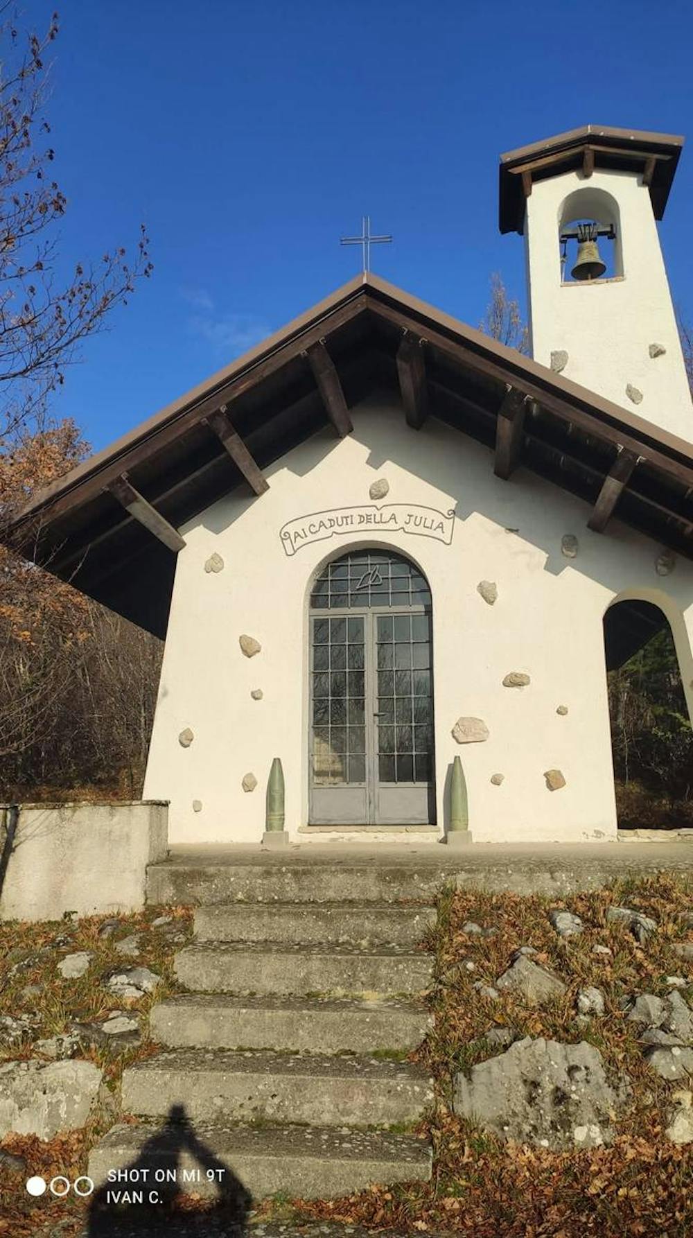
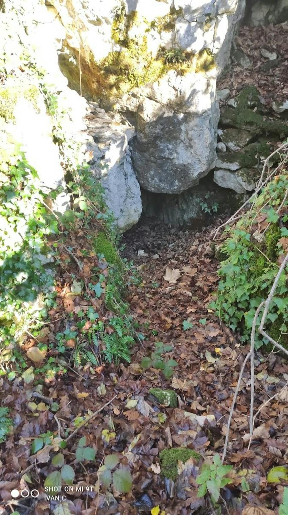
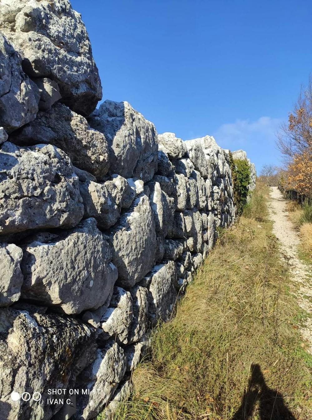
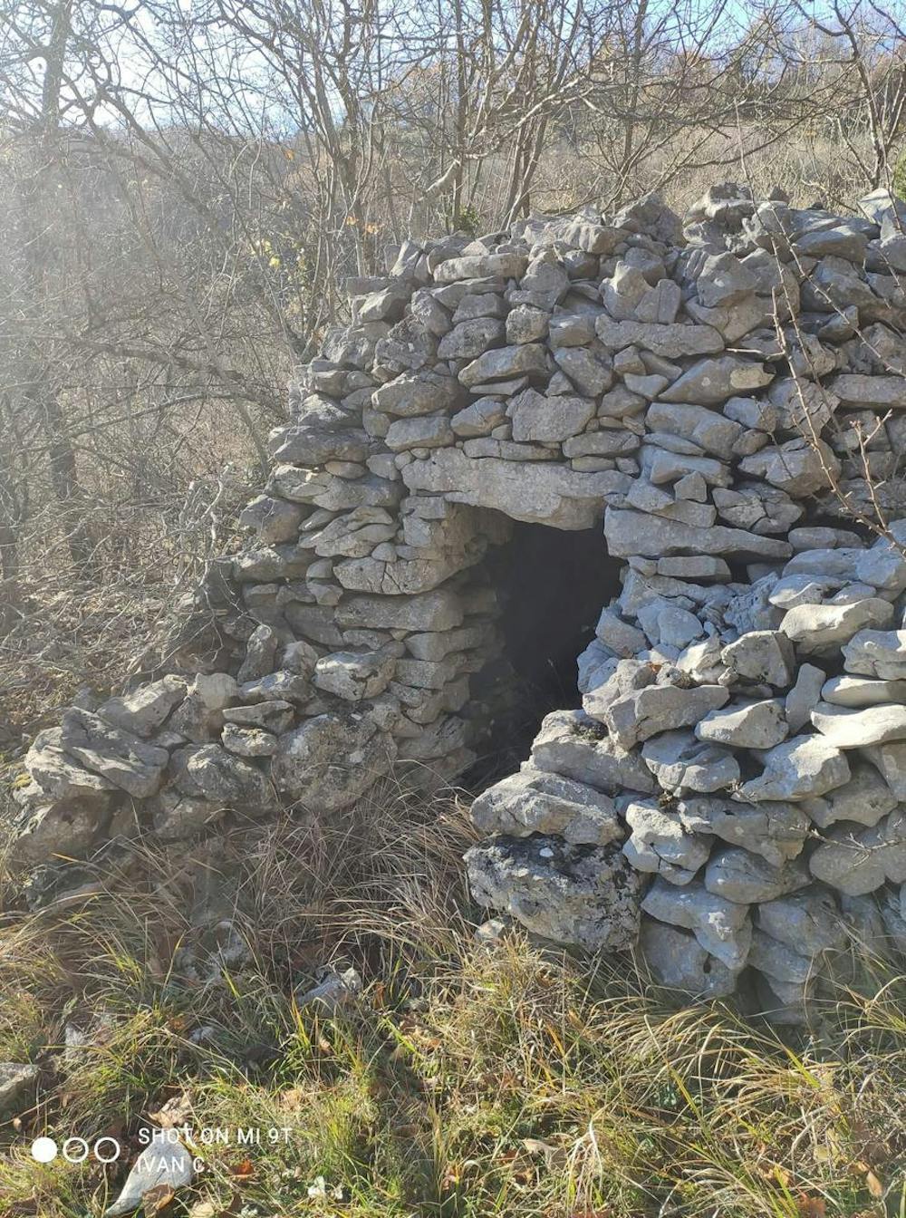
Dal campo sportivo di Tornareccio- Lago Franesina- la faggeta di fontecampana- chiesetta degli alpini- la Torretta- le mura megalitiche- le antenne- la grotta dei massi- i tolos- ex centro visite-campo sportivo
Difficulty
Easy
Walking along a well-kept trail that’s mostly flat. No obstacles are present.
Low Exposure

The path is on completely flat land and potential injury is limited to falling over.
Remoteness
Close to help in case of emergency.
Best time to visit
Features
- Historical
- Dog friendly
- Wild flowers
- Family friendly