Monte di by Sergio Prete
Pontechianale
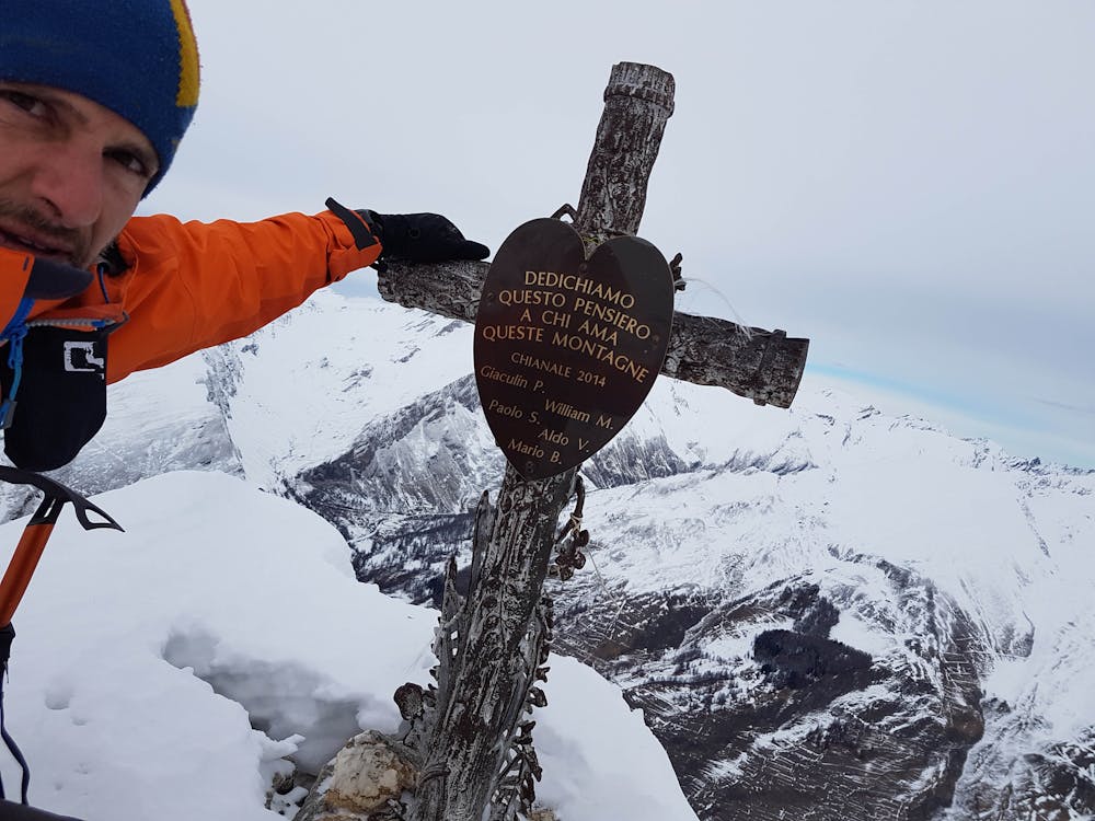
Salita per il Monte Peyron versante lago
Alpine Climbing Moderate
- Distance
- 9.9 km
- Ascent
- 1.3 km
- Descent
- 1.3 km
- Low Point
- 1.6 km
- High Point
- 2.9 km
- Gradient
- 31˚

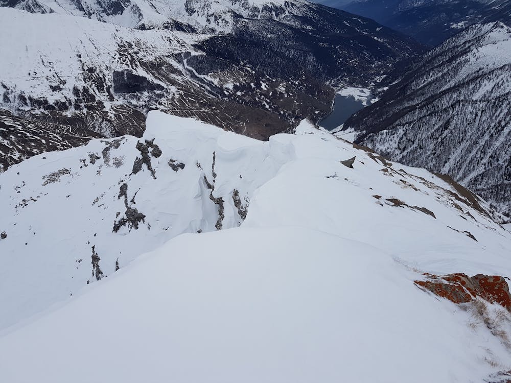
This is a popular alpine climbing route which is generally considered to be moderate. It's remote, it features medium exposure and is typically done between December and March. From a low point of 1.6 km to the maximum altitude of 2.9 km, the route covers 9.9 km, 1275 vertical metres of ascent and 1272 vertical metres of descent. You'll need crampons to complete it safely.
- •
- •
- •
Description
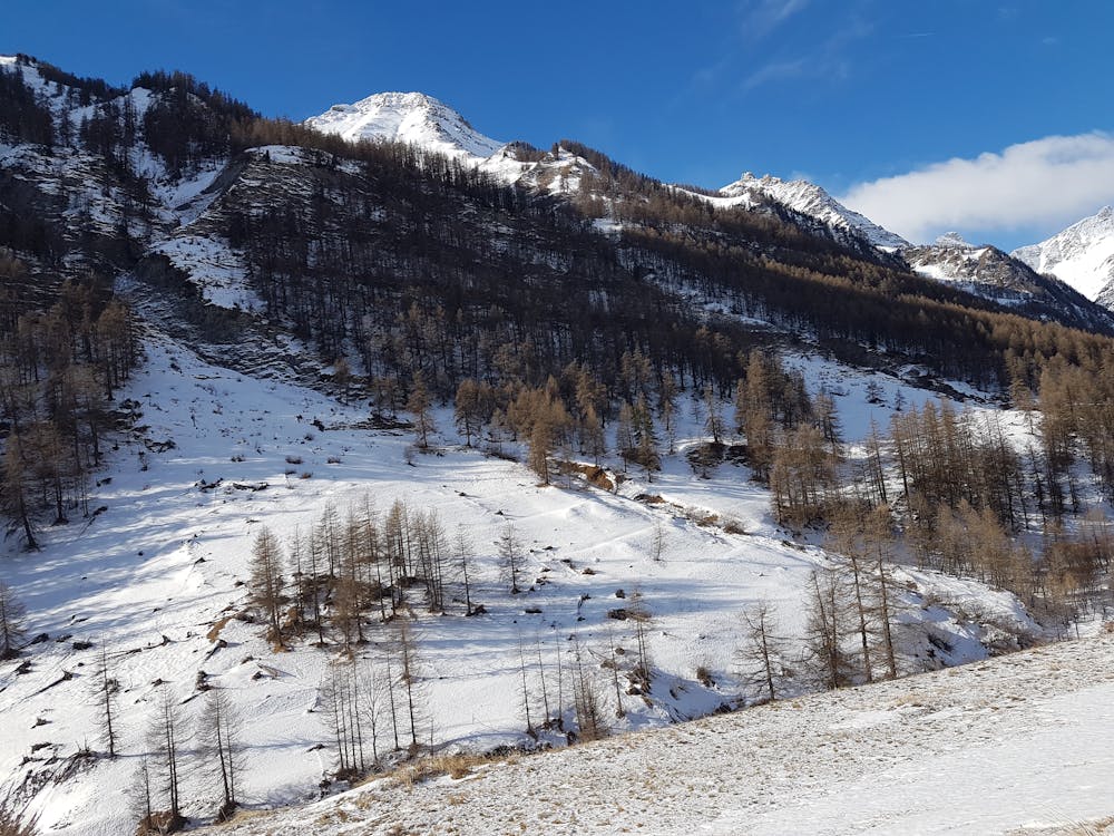
Partenza da Frazione Forest, seguire sentiero U15 fino al bivio per il Monte Peyron. Proseguire per Cima di Bardia
Difficulty
Moderate
May involve slightly more complex glacier hikes, easy but possibly long rock ridges and steep snow up to 45 degrees. Equivalent to PD, PD+
Medium Exposure

The route features some exposed and/or difficult to protect sections.
Remoteness
Away from help but easily accessed.
Best time to visit
Equipment required
- Crampons