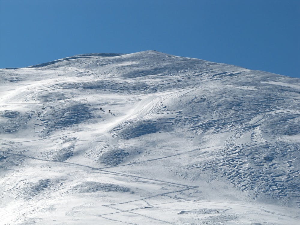
monte ventasuso
Barcelonnette
very nice backcountry line
Freeride Skiing Moderate
- Distance
- 4.3 km
- Ascent
- 10 m
- Descent
- 726 m
- Low Point
- 2 km
- High Point
- 2.7 km
- Gradient
- 35˚

This is a popular freeride skiing route which is generally considered to be moderate. It's remote, it features medium exposure (e2) and is typically done between January and March. From a low point of 2 km to the maximum altitude of 2.7 km, the route covers 4.3 km, 10 vertical metres of ascent and 726 vertical metres of descent. You'll need skins and crampons to complete it safely.
Description
2 and a half hours hike to get to the top. Pretty steep terrain, this make the avalanche danger not to be underestimated, better if done with safe snow condition
Difficulty
Moderate
Slopes become slightly steeper at around 25-30 degrees.
Medium Exposure (E2)

As well as the slope itself, there are some obstacles (such as rock outcrops) which could aggravate injury.
Remoteness
Away from help but easily accessed.
Best time to visit
Features
- Walk Required
Equipment required
- Skins
- Crampons