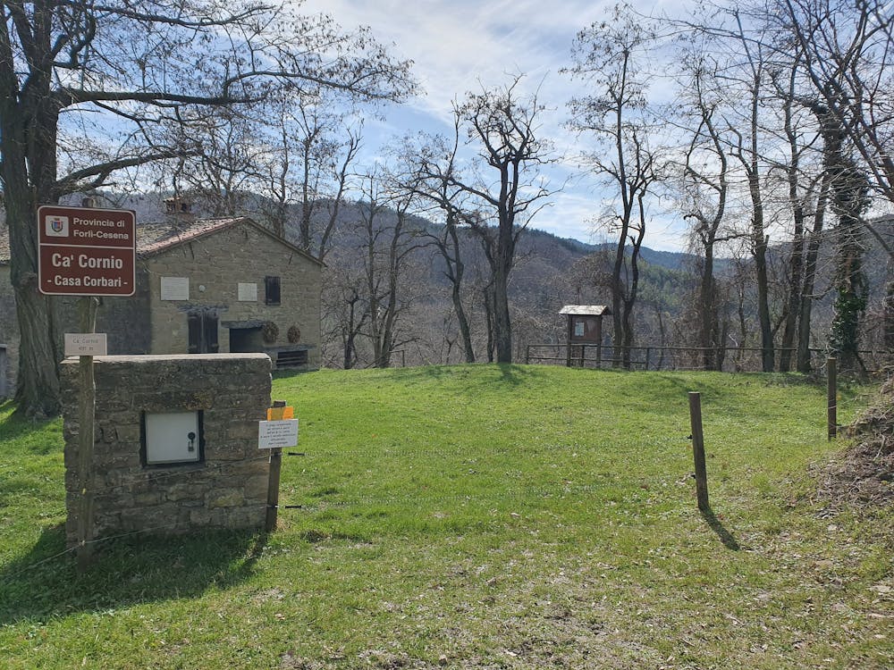
Montebello - Cà Cornio- San Valentino - Poggiale - Tomba - Montebello
Montebello - Cà Cornio- San Valentino - Poggiale - Tomba - Montebello
Hiking Moderate
- Distance
- 9.6 km
- Ascent
- 453 m
- Descent
- 454 m
- Duration
- 2-3 hrs
- Low Point
- 376 m
- High Point
- 699 m
- Gradient
- 10˚

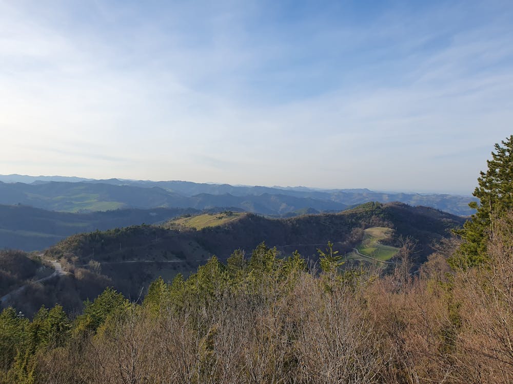
This is a popular hiking route which is generally considered to be moderate. It's remote, it features medium exposure and is typically done between March and November. From a low point of 376 m to the maximum altitude of 699 m, the route covers 9.6 km, 453 vertical metres of ascent and 454 vertical metres of descent.

- •
- •
- •
- •
- •
- •
- •
- •
- •
- •
- •
- •
- •
- •
Description
Giro ad anello nella riserva di Montebello e sul crinale di San Valentino.
Difficulty
Moderate
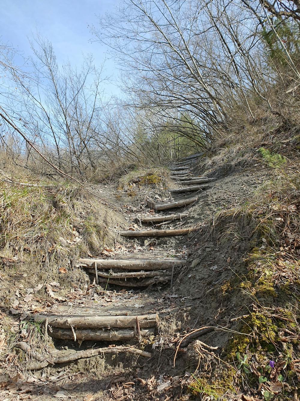
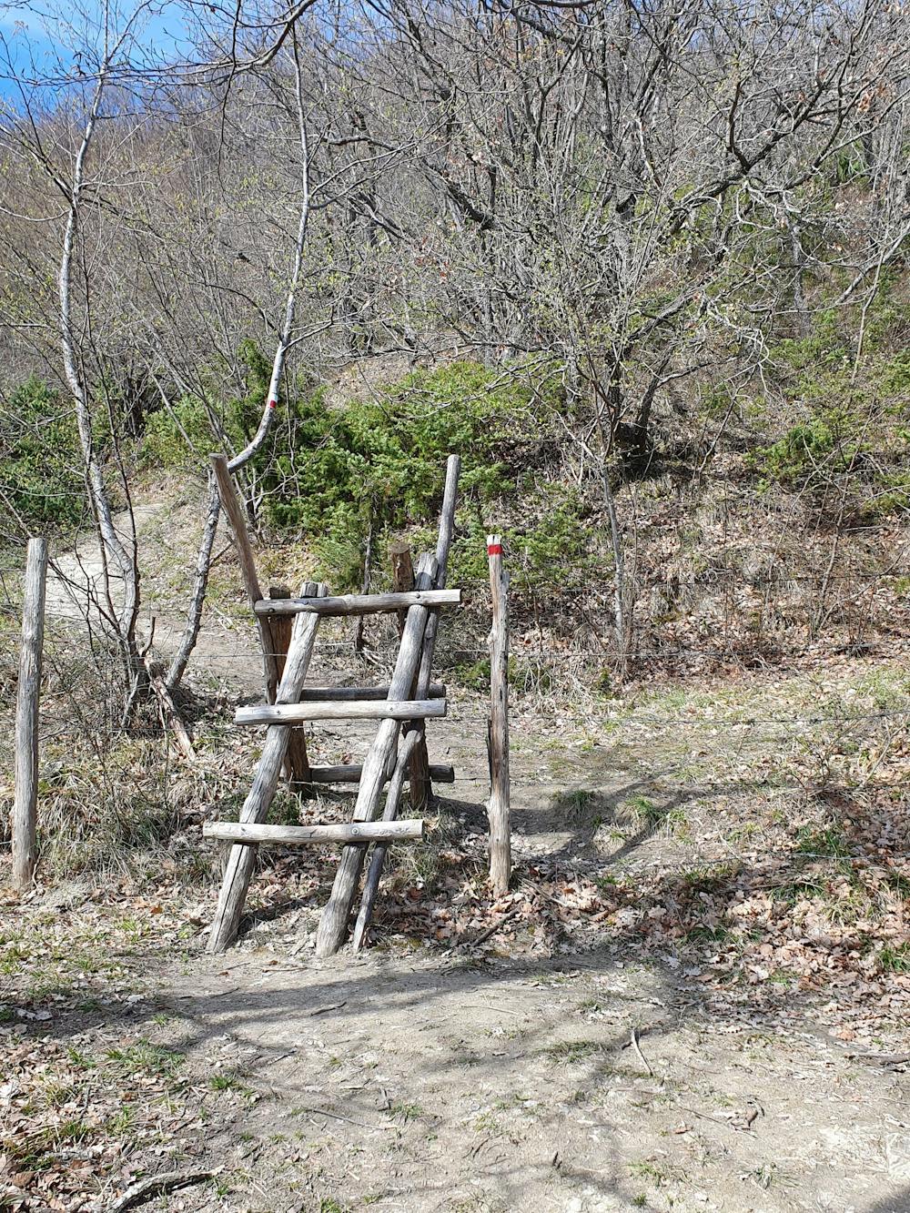
Hiking along trails with some uneven terrain and small hills. Small rocks and roots may be present.
Medium Exposure

The trail contains some obstacles such as outcroppings and rock which could cause injury.
Remoteness
Away from help but easily accessed.
Best time to visit
Features
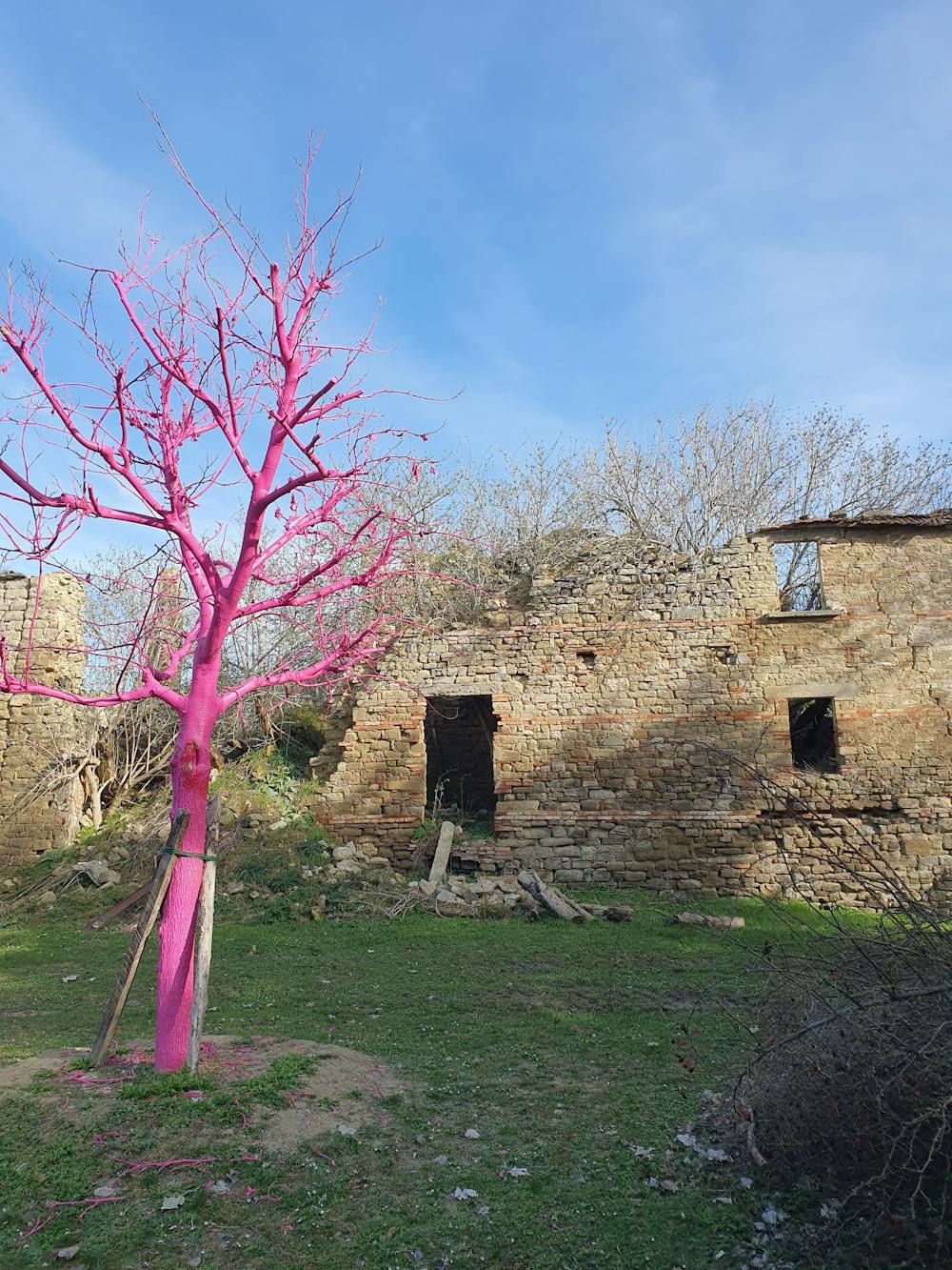
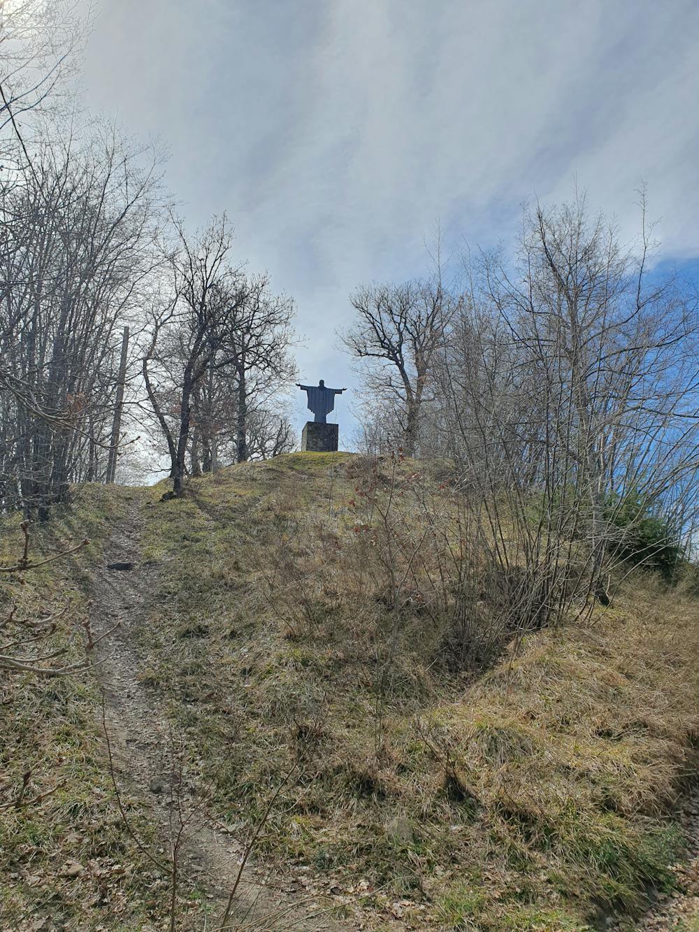
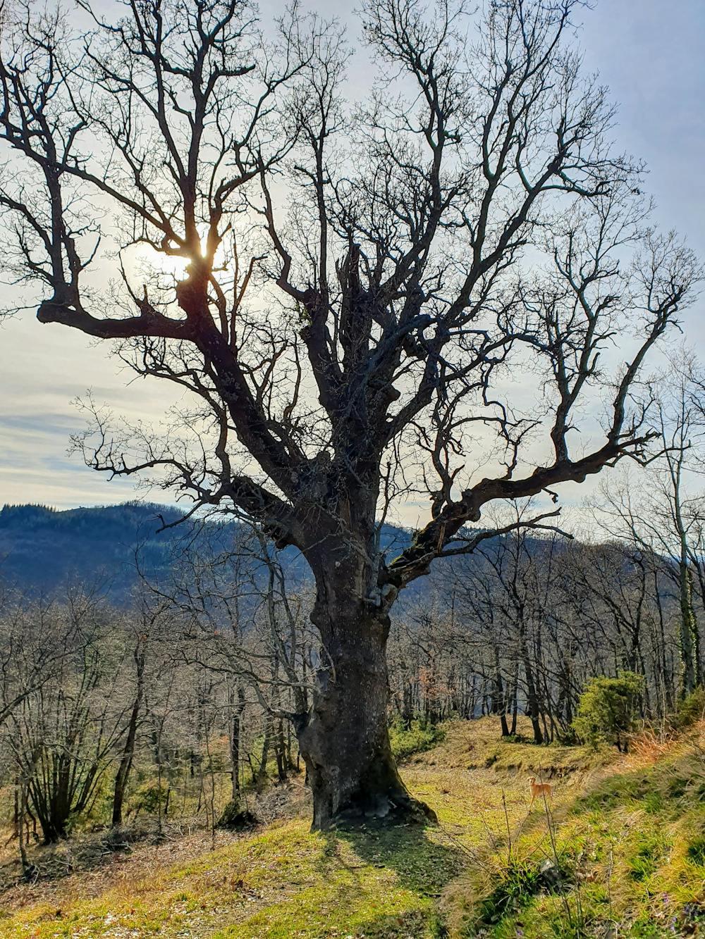
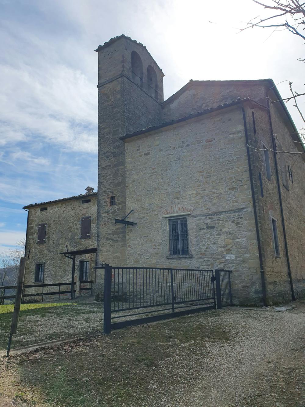
- Historical
- Dog friendly
- Wild flowers
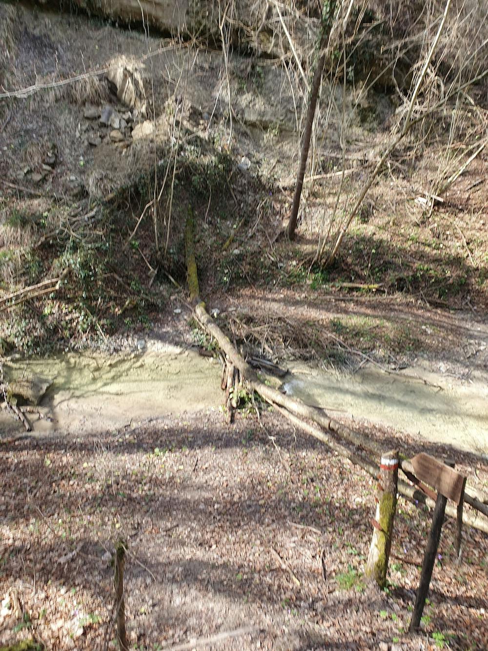
- Water features
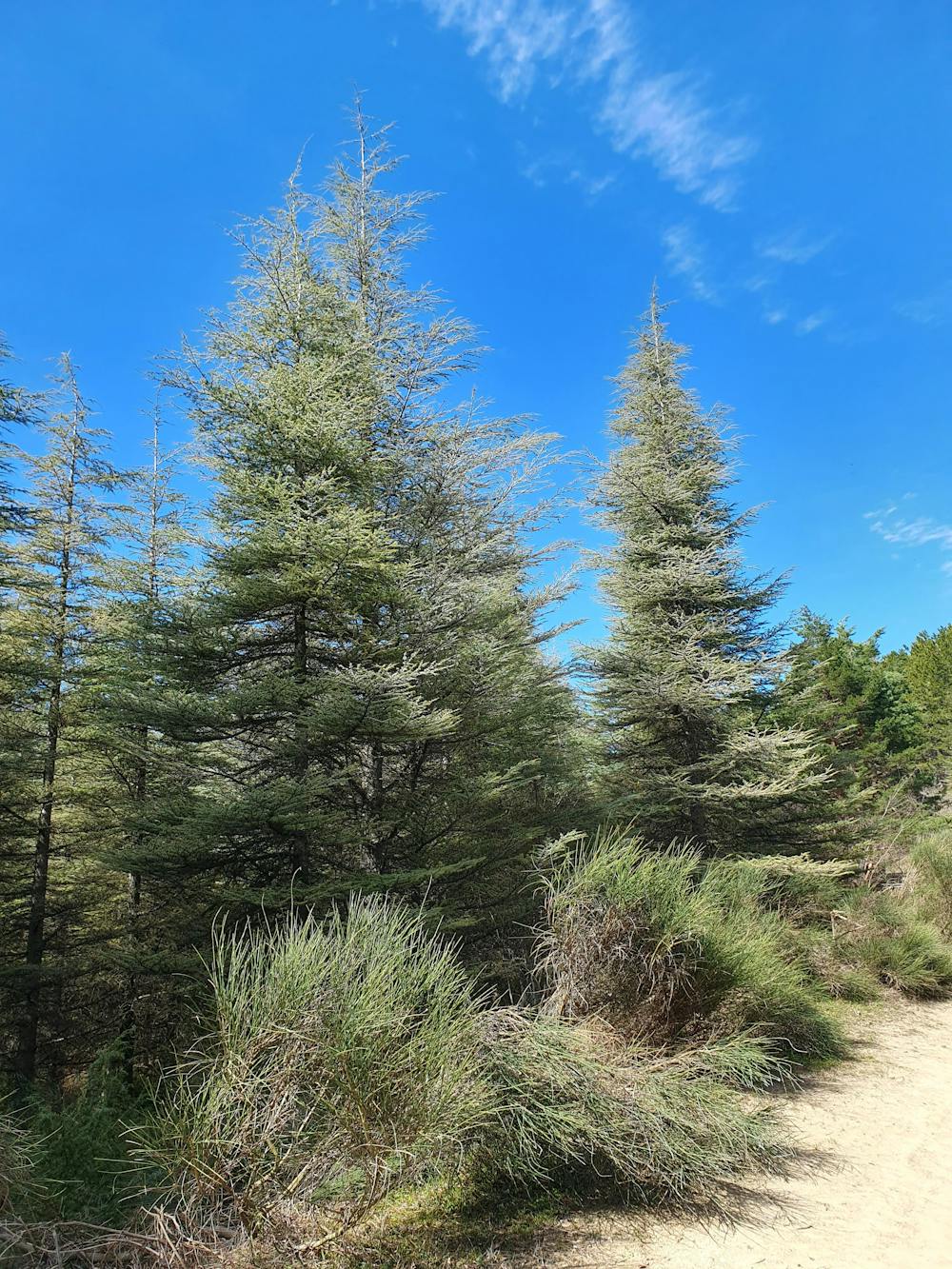
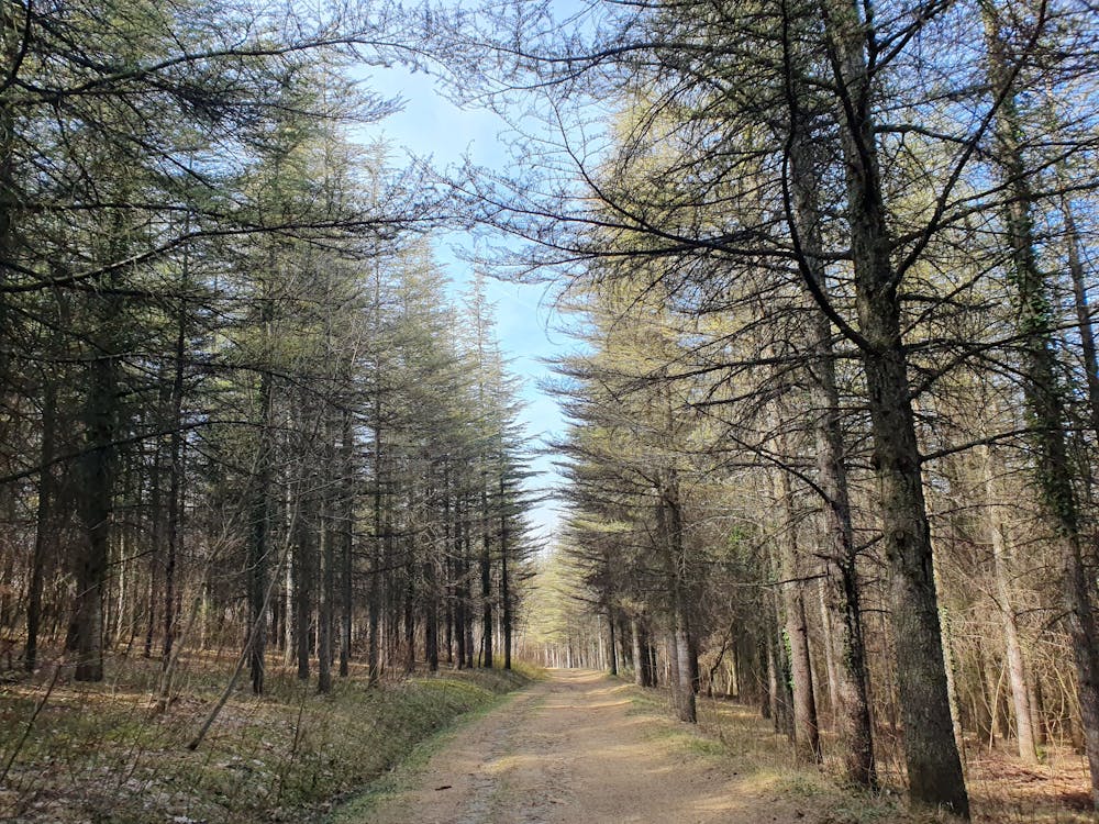
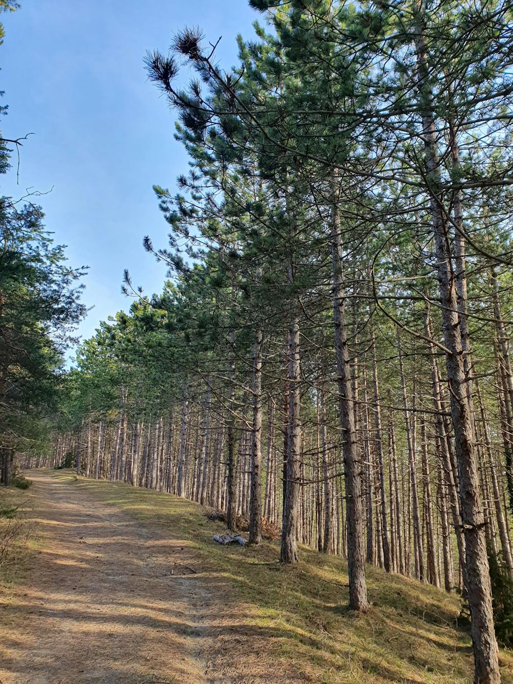
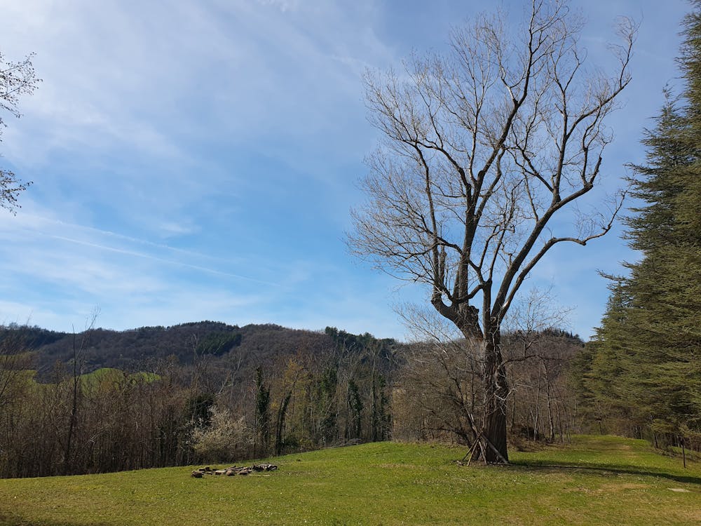
- Forestry or heavy vegetation