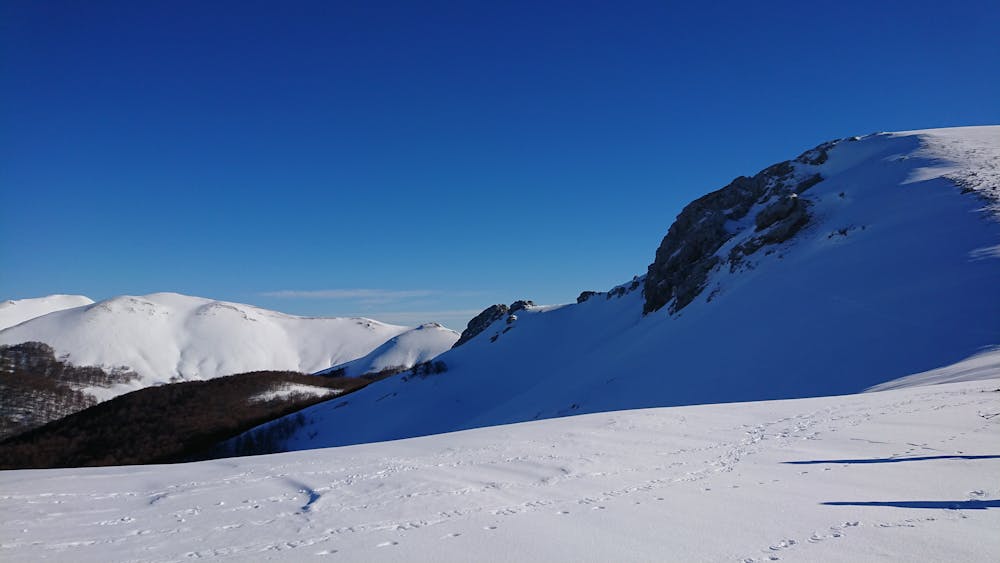
Monte Pozzotello con le ciaspole
Breve ciaspolata che da Campo Catino parte e passa su alcune interessanti creste.
Hiking Easy
- Distance
- 6.4 km
- Ascent
- 283 m
- Descent
- 280 m
- Duration
- 1-2 hrs
- Low Point
- 1.8 km
- High Point
- 2 km
- Gradient
- 6˚

This is a popular hiking route which is generally considered to be easy. It's not remote, it features low exposure and is typically done between January and March. From a low point of 1.8 km to the maximum altitude of 2 km, the route covers 6.4 km, 283 vertical metres of ascent and 280 vertical metres of descent.
Description
Ciaspolata adatta a tutti, anche ai neofiti. Regala comunque le sue soddisfazioni, specialmente con tanta neve. Sentiero con poco dislivello, adatto anche ai cani, a patto che non ci si scosti dalla traccia.
Difficulty
Easy
Walking along a well-kept trail that’s mostly flat. No obstacles are present.
Low Exposure

The path is on completely flat land and potential injury is limited to falling over.
Remoteness
Close to help in case of emergency.
Best time to visit
Features
- Dog friendly
- Family friendly