8 routes · Hiking
Stage 6 of the magnificent high alpine trail through Liguria.
Hiking Difficult

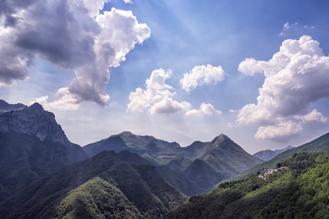
Passing through the area of Scoffera, you will walk along an ancient salt road that used to connect Genoa to the Po Valley. Along the way, you will come across Val Noci and Lake Noci with views of the spectacular Alpesisa and Candelozzo Mountains in the background. You will pass a series of very impressive mountains on this stretch. From Mt. Lavagnola, continue in the direction of Mt. Antola, passing through the lush Regional Natural Park of Antola. You will then come across Mt. Caucasus, and then further east, you will see the unusual amphitheater shape of Mt. Ramaceto, before finishing up at Passo della Forcella, where you can diverge off the main route to lodge in the village of Acero. Sources
Difficult
Hiking trails where obstacles such as rocks or roots are prevalent. Some obstacles can require care to step over or around. At times, the trail can be worn and eroded. The grade of the trail is generally quite steep, and can often lead to strenuous hiking.

Some trail sections have exposed ledges or steep ascents/descents where falling could cause serious injury.

Away from help but easily accessed.
8 routes · Hiking