Clavarezza - Antola - Caprile
Traversata del monte Antola da Clavarezza a Caprile e ritorno
Hiking Moderate
- Distance
- 27 km
- Ascent
- 1.4 km
- Descent
- 1.4 km
- Duration
- 7-8 hrs
- Low Point
- 799 m
- High Point
- 1.6 km
- Gradient
- 11˚

This is a popular hiking route which is generally considered to be moderate. It's remote, it features medium exposure and is typically done between April and September. From a low point of 799 m to the maximum altitude of 1.6 km, the route covers 27 km, 1435 vertical metres of ascent and 1442 vertical metres of descent.

- •
- •
- •
- •
- •
- •
- •
- •
- •
- •
- •
- •
- •
- •
- •
Description
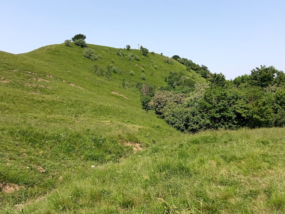
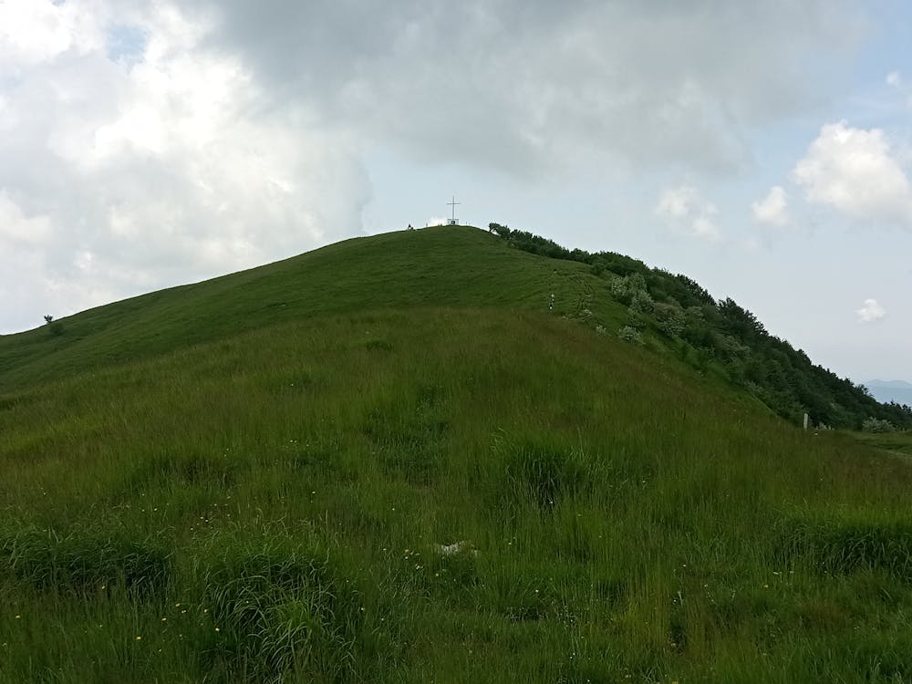
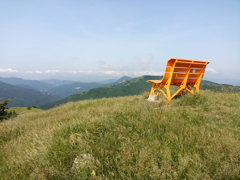
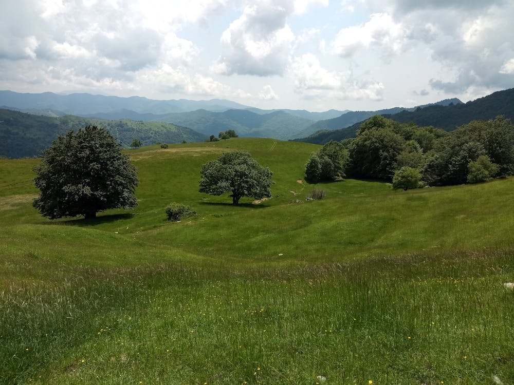
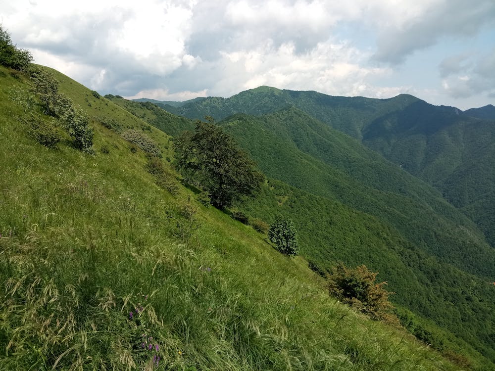
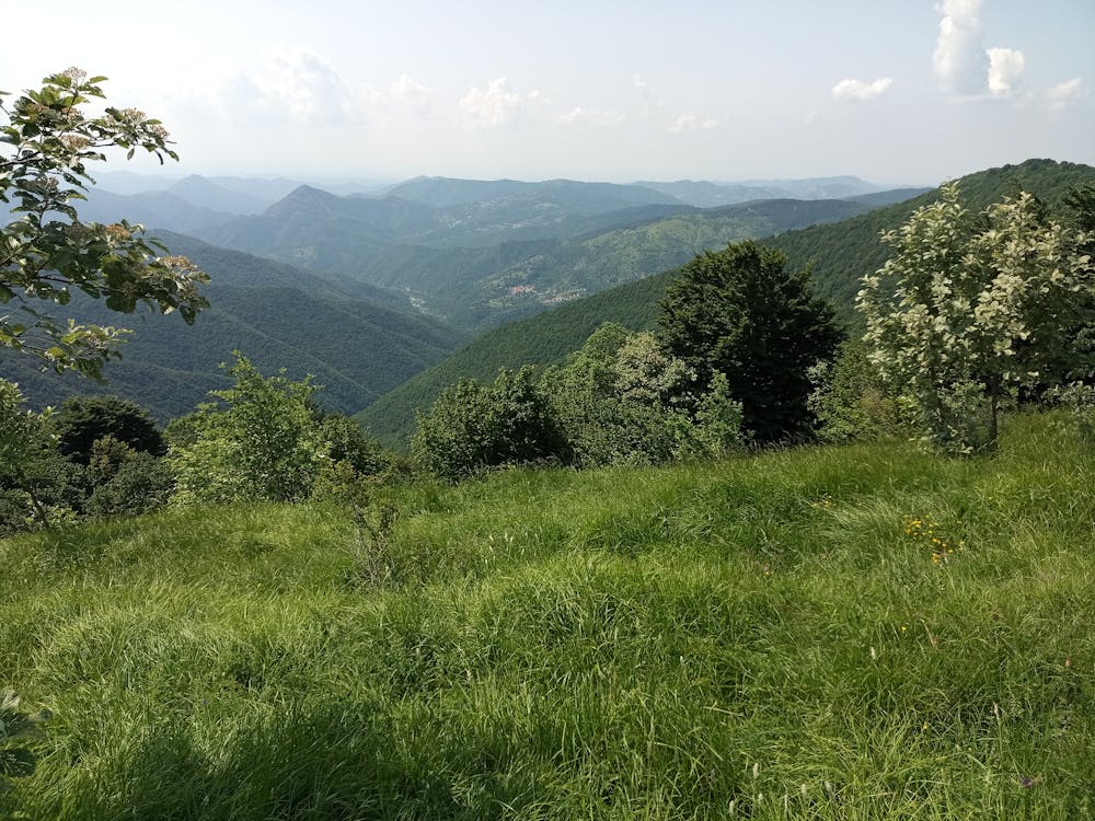
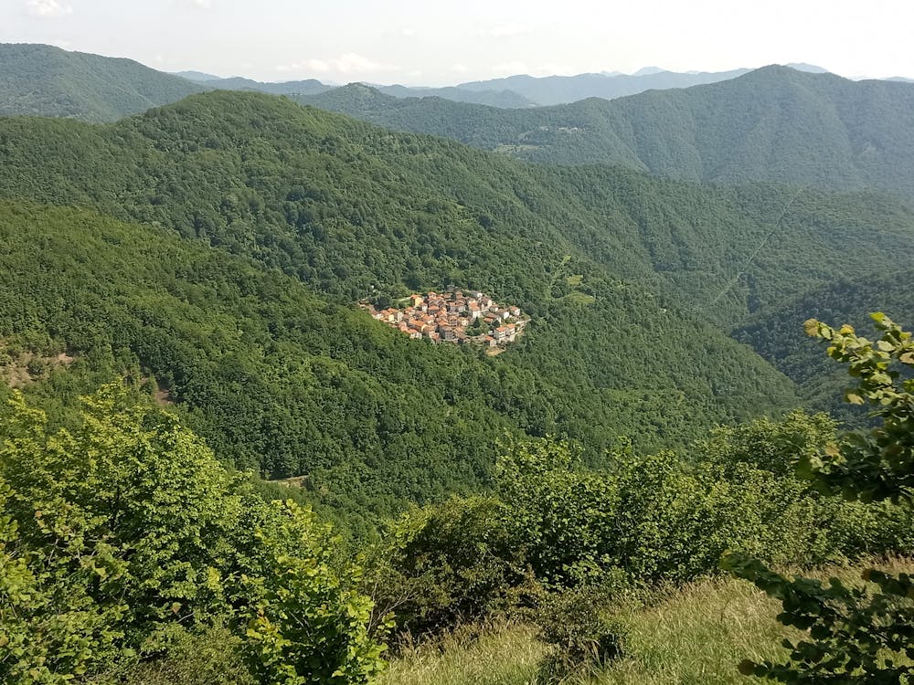
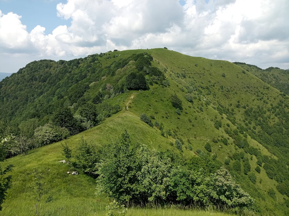
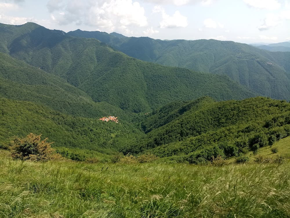
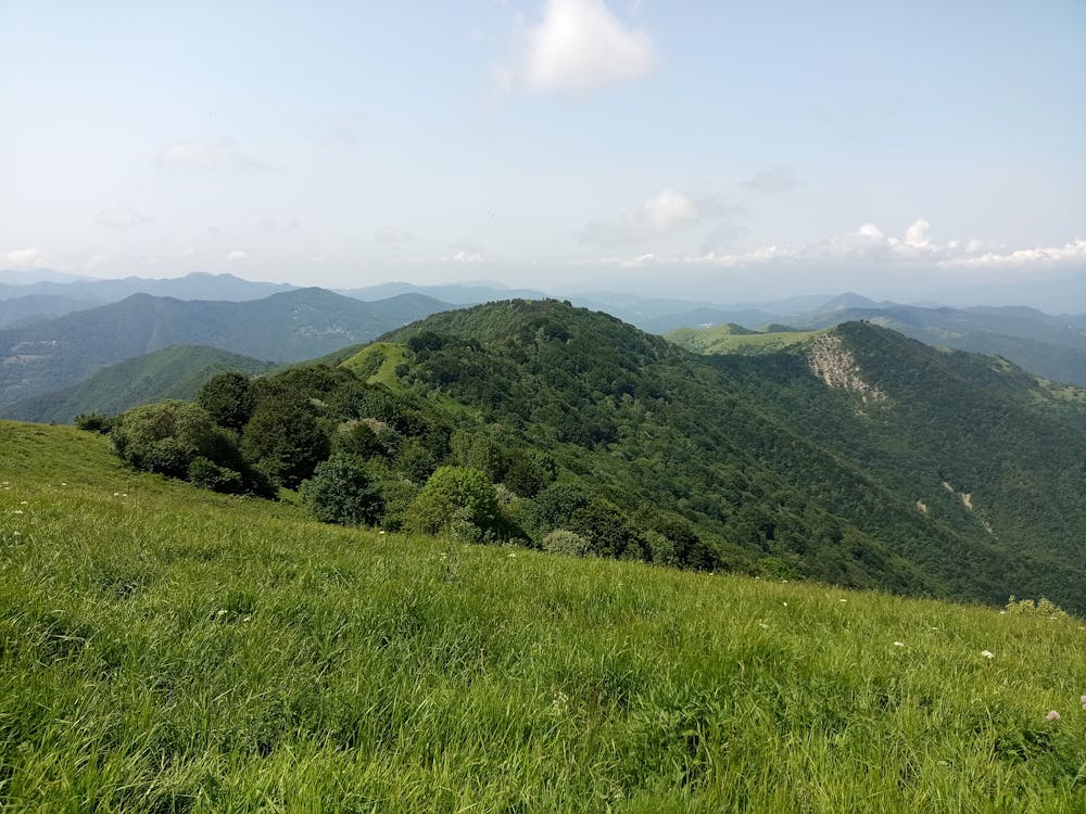
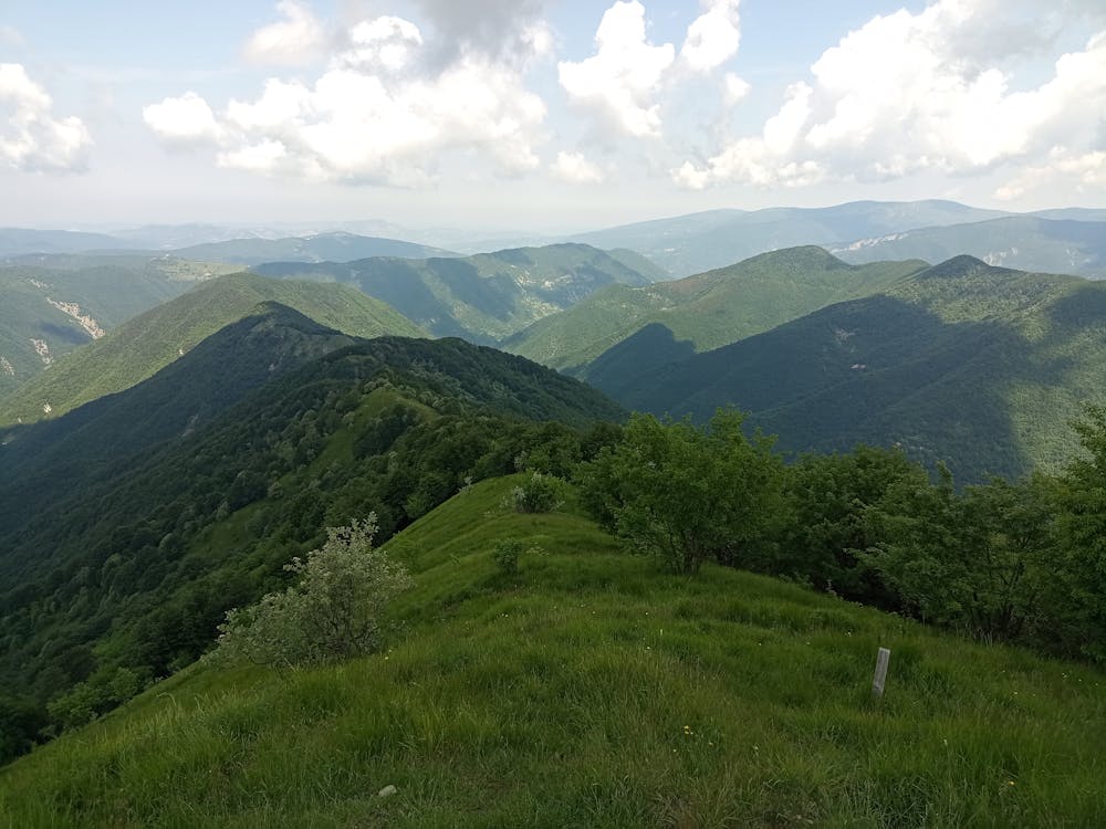
Bellissimo trekking lungo il crinale del monte Antola, tra la Valbrevenna e la Val Borbera, fino all'alta Val Trebbia
Difficulty
Moderate
Hiking along trails with some uneven terrain and small hills. Small rocks and roots may be present.
Medium Exposure

The trail contains some obstacles such as outcroppings and rock which could cause injury.
Remoteness
Away from help but easily accessed.
Best time to visit
Features
- Wildlife
- Summit Hike
- Dog friendly
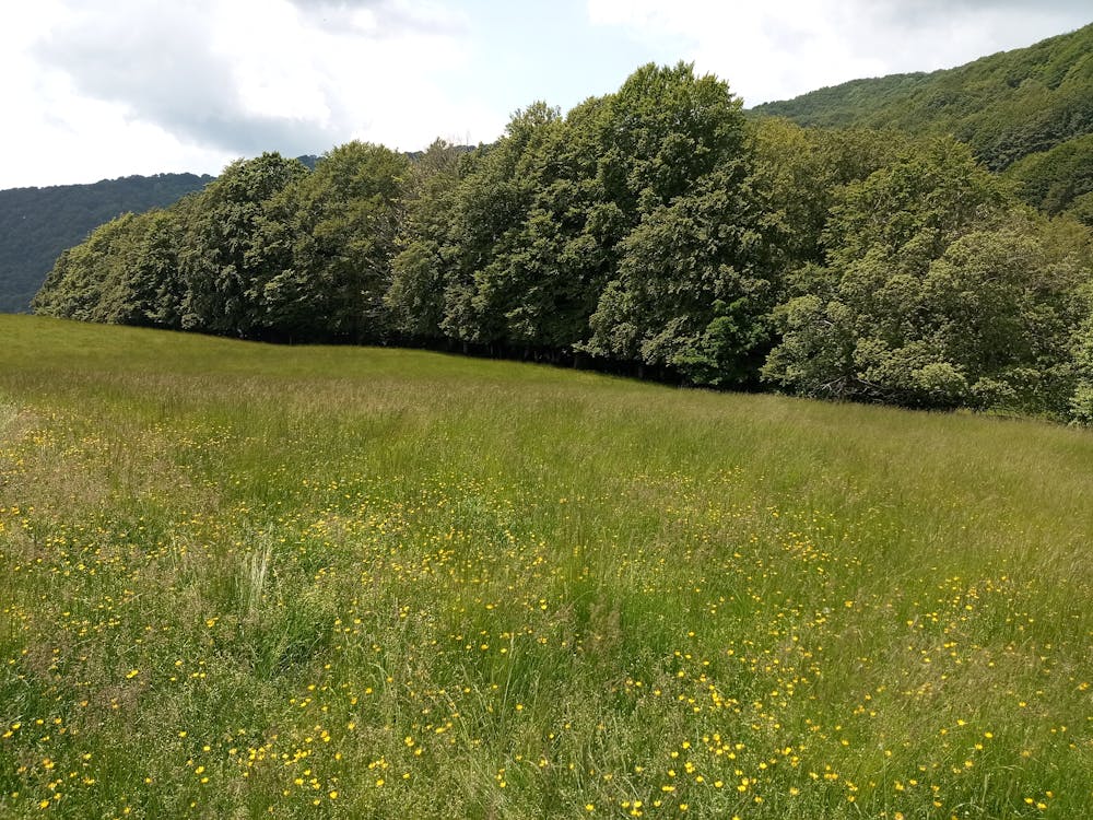
- Wild flowers
- Water features
- Family friendly
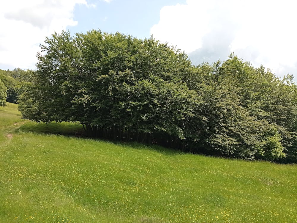
- Forestry or heavy vegetation