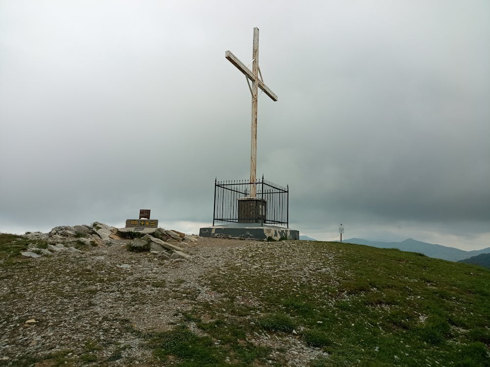
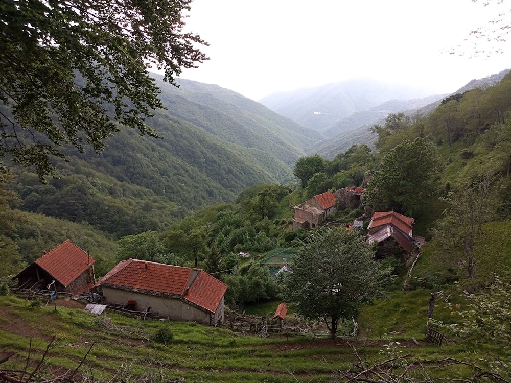
Valbrevenna - Antola da Pareto e Passo Incisa
salita da Pareto e rientro da Piancassina
Hiking Moderate
- Distance
- 23 km
- Ascent
- 1.3 km
- Descent
- 1.1 km
- Duration
- 6-7 hrs
- Low Point
- 532 m
- High Point
- 1.6 km
- Gradient
- 10˚

This is a popular hiking route which is generally considered to be moderate. It's remote, it features medium exposure and is typically done between April and October. From a low point of 532 m to the maximum altitude of 1.6 km, the route covers 23 km, 1280 vertical metres of ascent and 1108 vertical metres of descent.
- •
- •
- •
- •
- •
- •
- •
- •
- •
Description
Escursione agevole, ma dislivello complessivo >1000 m
Difficulty
Moderate
Hiking along trails with some uneven terrain and small hills. Small rocks and roots may be present.
Medium Exposure

The trail contains some obstacles such as outcroppings and rock which could cause injury.
Remoteness
Away from help but easily accessed.
Best time to visit
Features
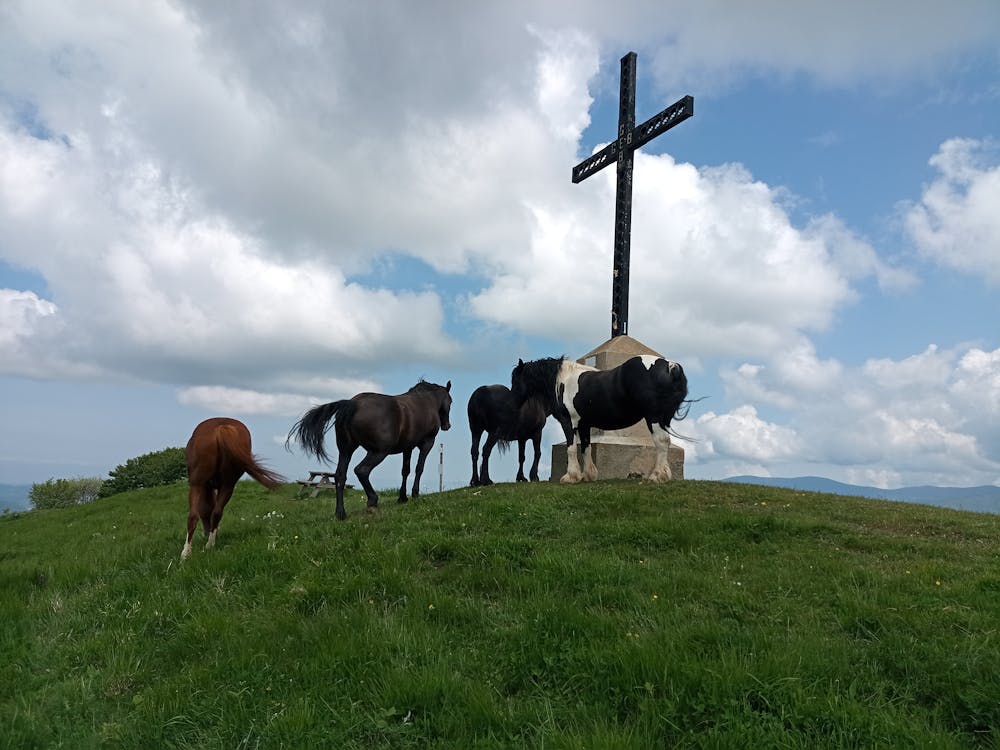
- Wildlife
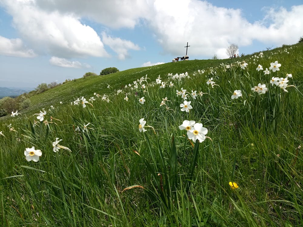
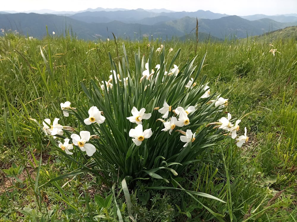
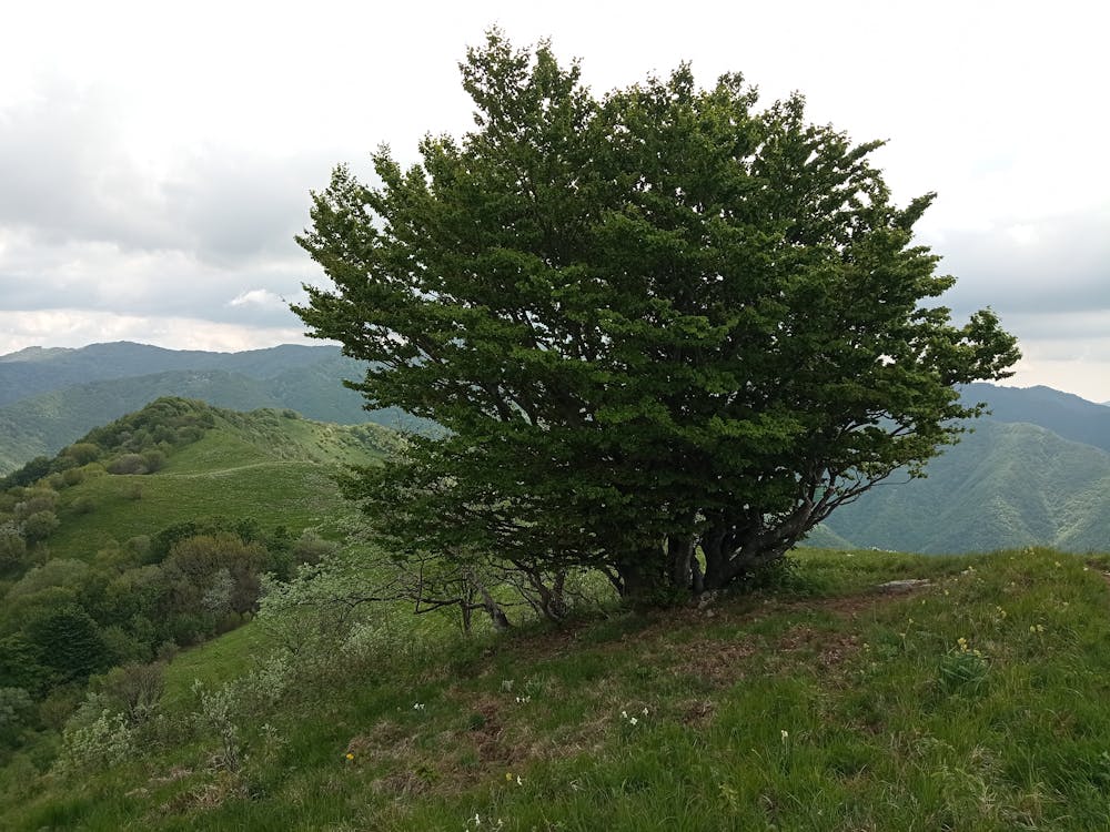
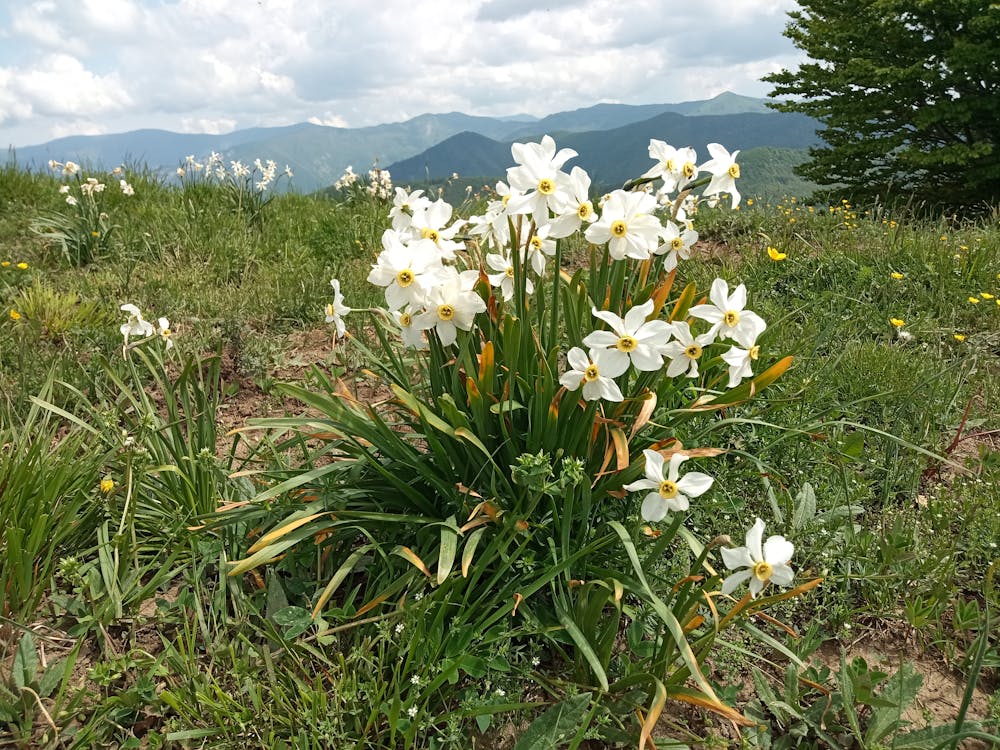
- Picturesque
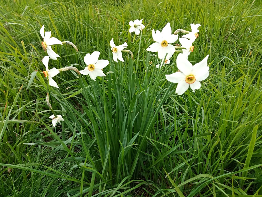
- Wild flowers
- Family friendly
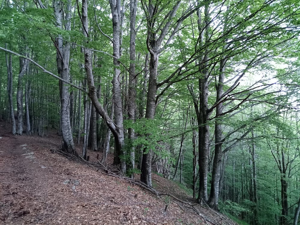
- Forestry or heavy vegetation