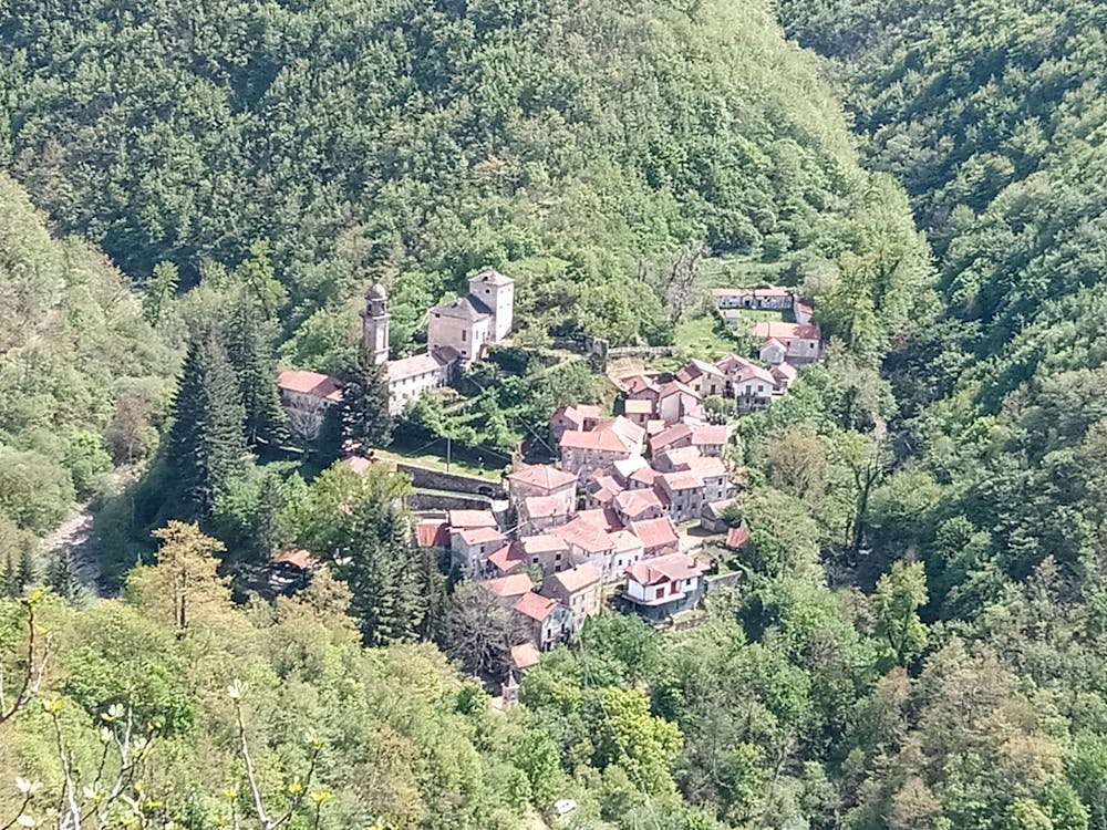
Valbrevenna - Antola
da Mulino Vecchio a Cima Antola
Hiking Moderate
- Distance
- 28 km
- Ascent
- 1.3 km
- Descent
- 1.3 km
- Duration
- 7-8 hrs
- Low Point
- 528 m
- High Point
- 1.6 km
- Gradient
- 11˚

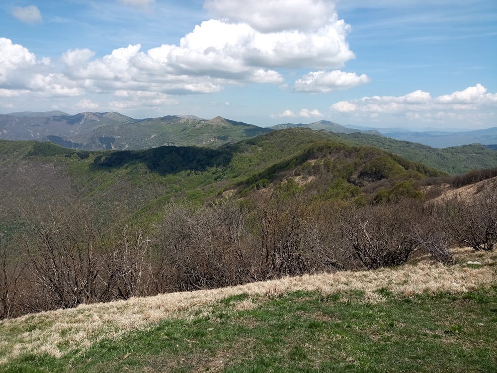
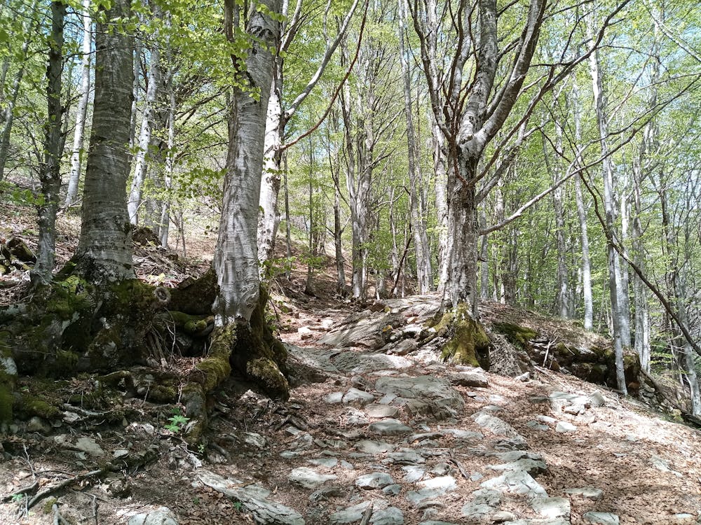
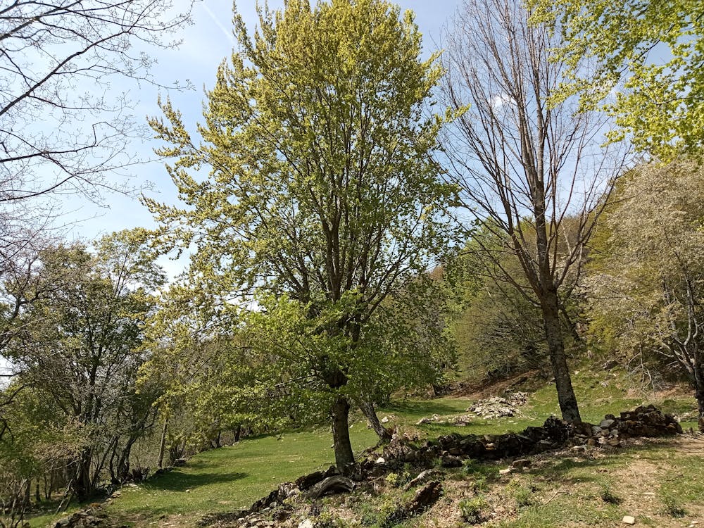
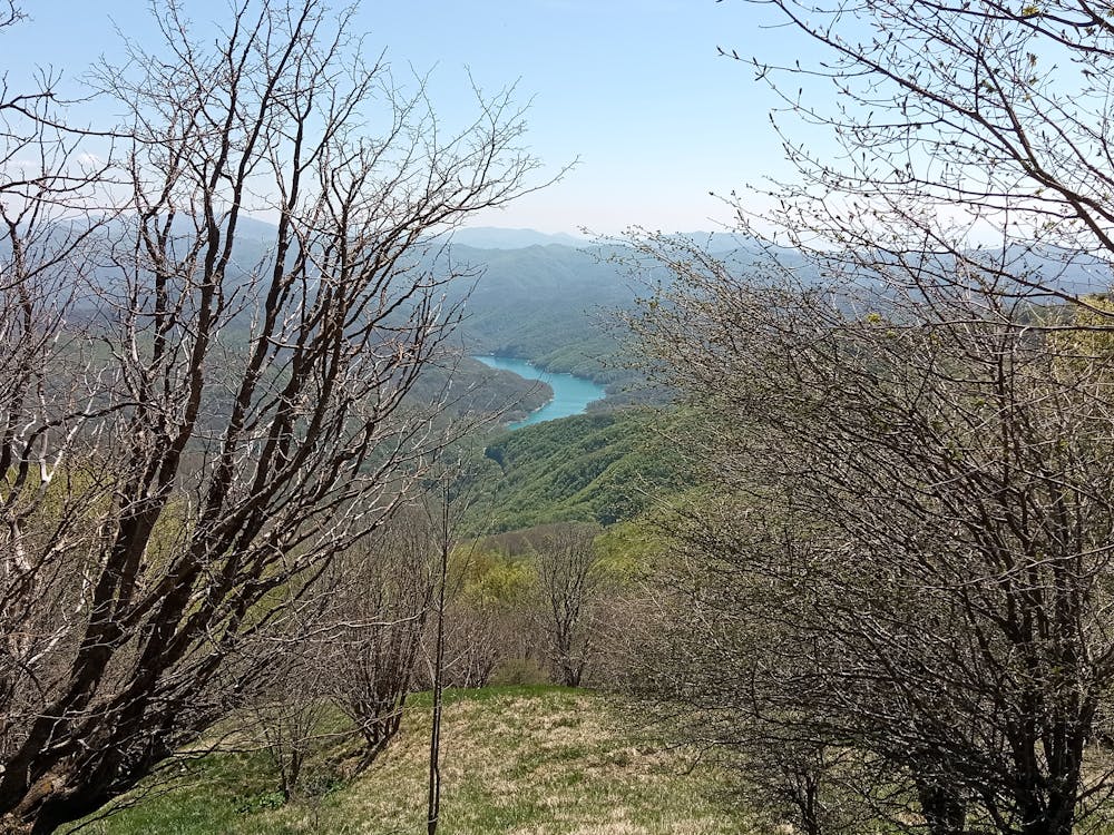
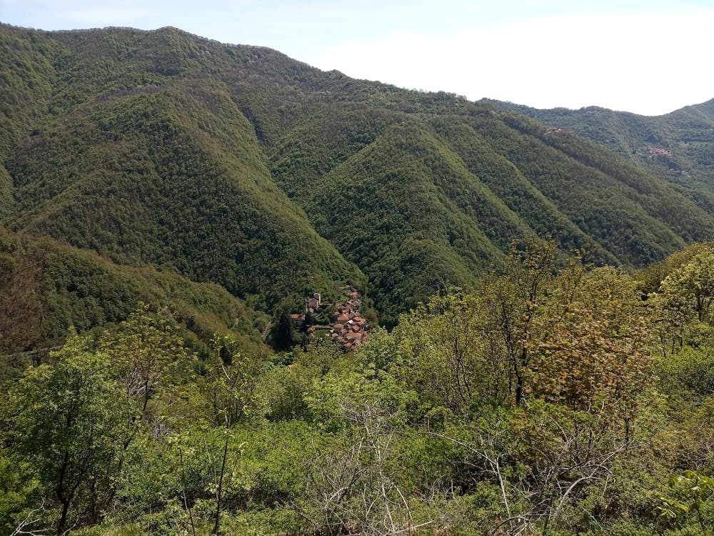
This is a popular hiking route which is generally considered to be moderate. It's not remote, it features medium exposure and is typically done between April and September. From a low point of 528 m to the maximum altitude of 1.6 km, the route covers 28 km, 1288 vertical metres of ascent and 1288 vertical metres of descent.
- •
- •
- •
- •
- •
- •
- •
- •
- •
- •
- •
- •
- •
Description
Hiking facile
Difficulty
Moderate
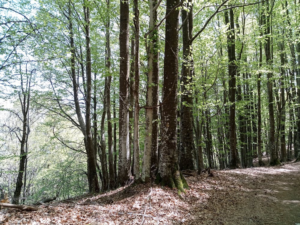
Hiking along trails with some uneven terrain and small hills. Small rocks and roots may be present.
Medium Exposure

The trail contains some obstacles such as outcroppings and rock which could cause injury.
Remoteness

Close to help in case of emergency.
Best time to visit
Features
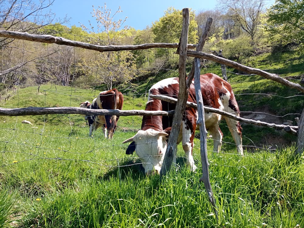
- Wildlife
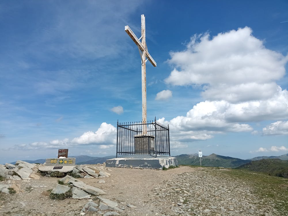
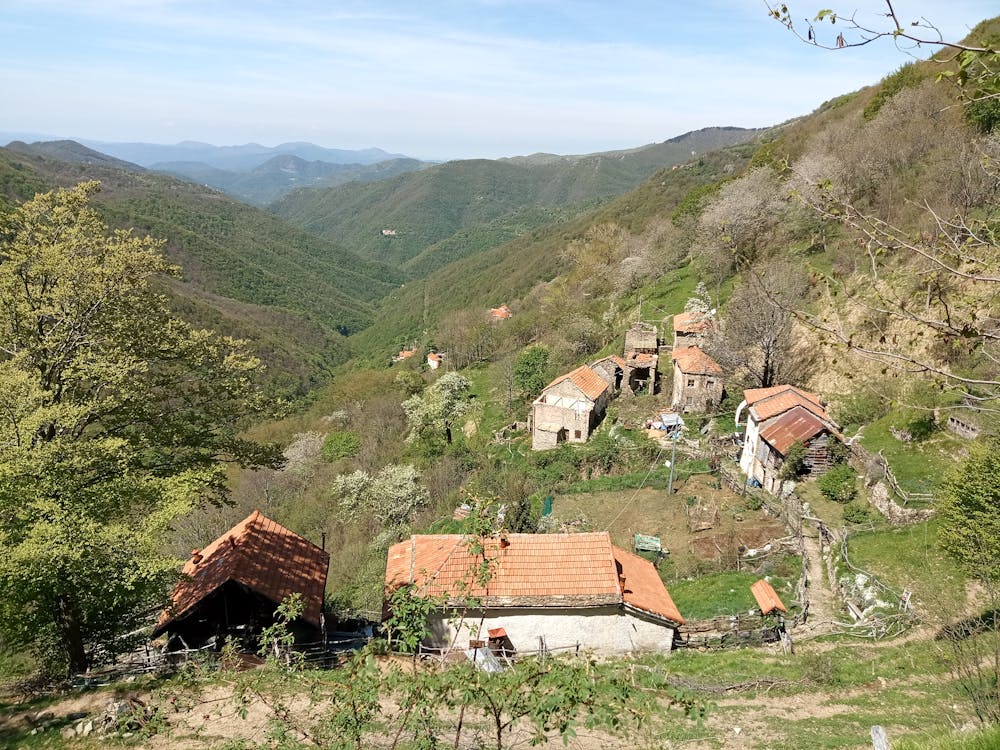
- Summit Hike
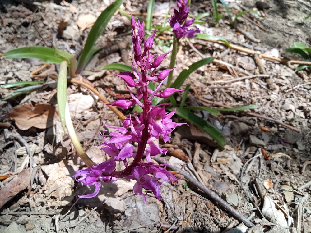
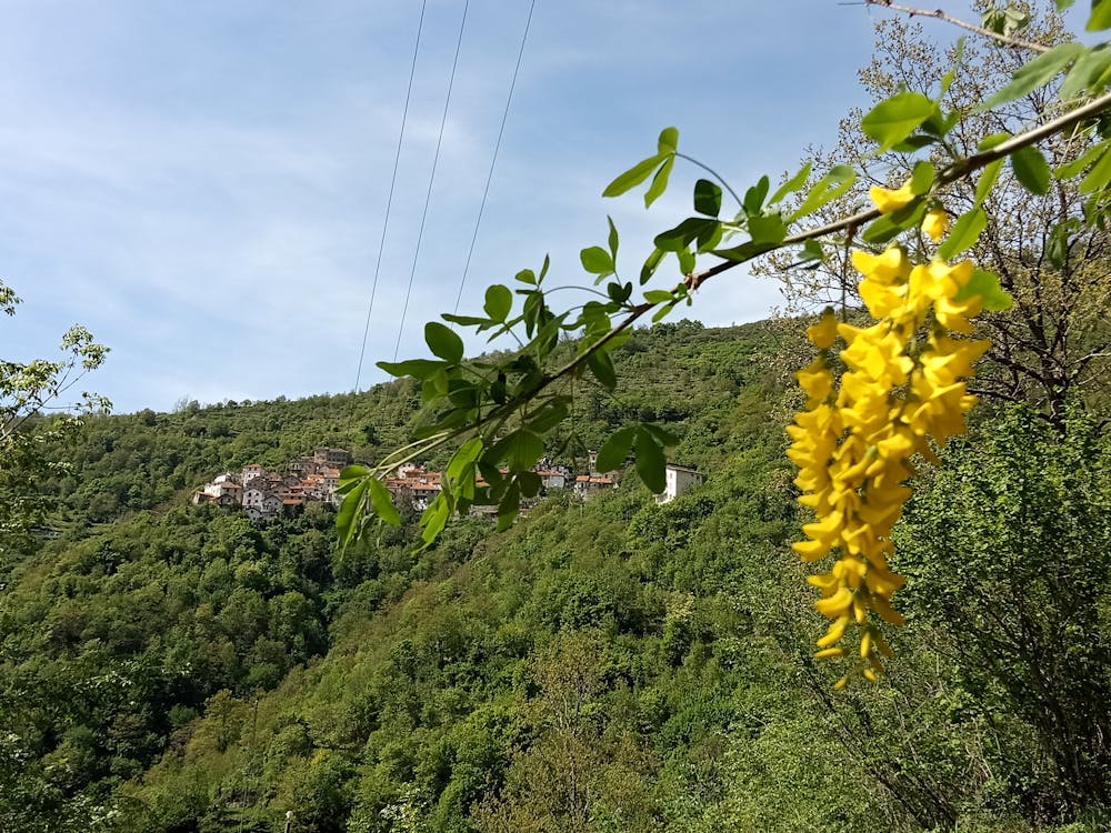
- Wild flowers
- Family friendly