Valbrevenna - Carsi - Antola
Escursione facile, impegnativa solo per la lunghezza
Hiking Moderate
- Distance
- 28 km
- Ascent
- 1.4 km
- Descent
- 1.4 km
- Duration
- 7-8 hrs
- Low Point
- 531 m
- High Point
- 1.6 km
- Gradient
- 9˚
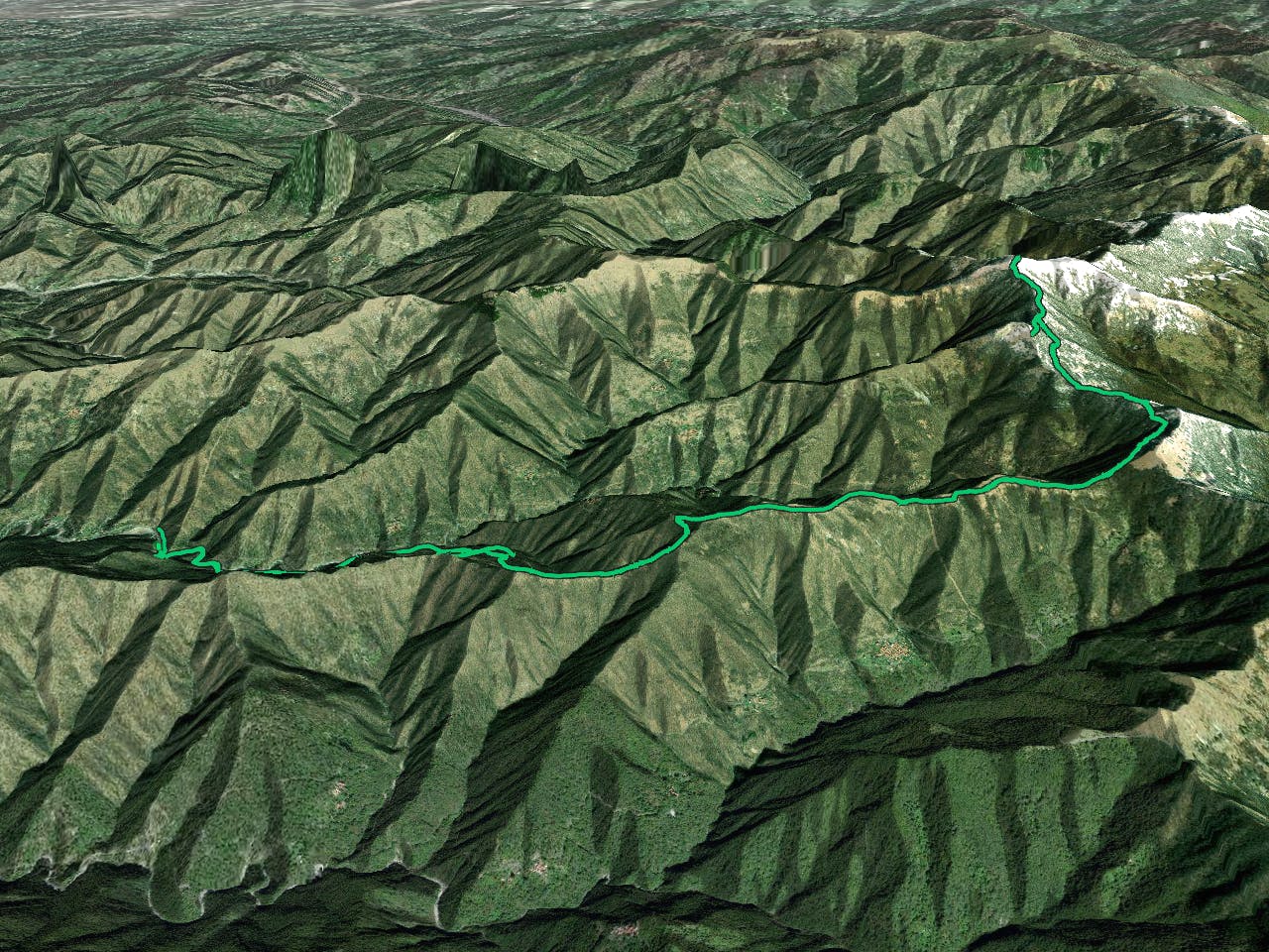
This is a popular hiking route which is generally considered to be moderate. It's remote, it features medium exposure and is typically done between April and October. From a low point of 531 m to the maximum altitude of 1.6 km, the route covers 28 km, 1351 vertical metres of ascent and 1357 vertical metres of descent.


- •
- •
- •
- •
- •
- •
- •
- •
- •
- •
Description
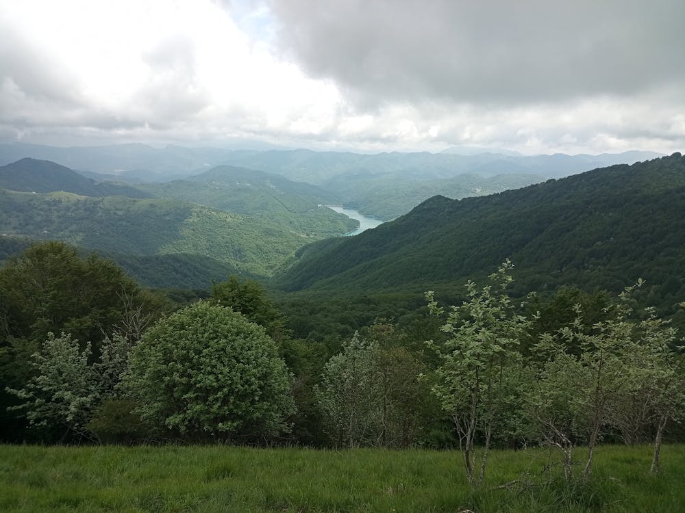
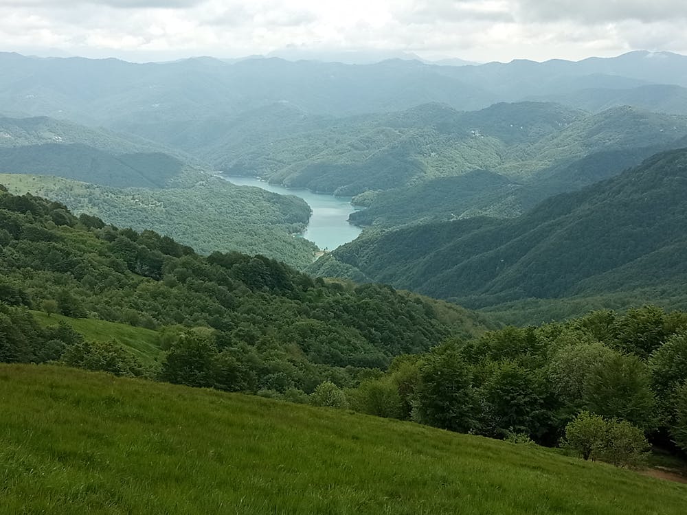
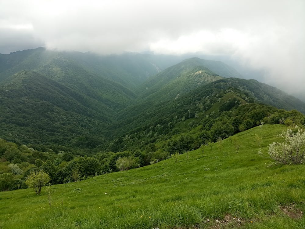
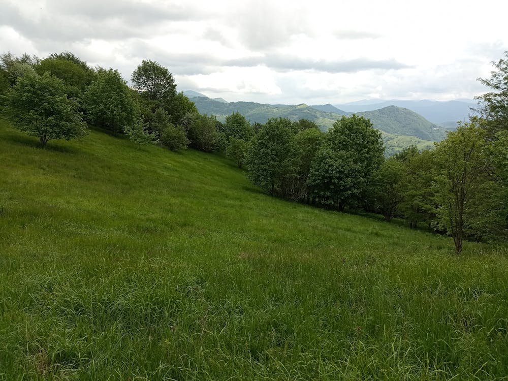
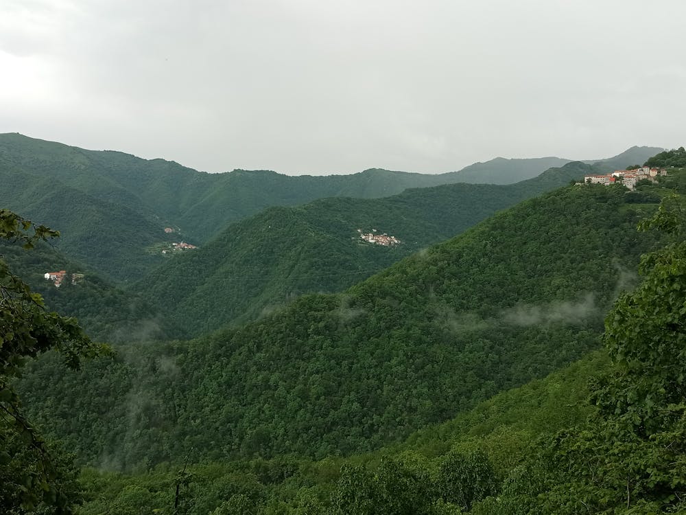
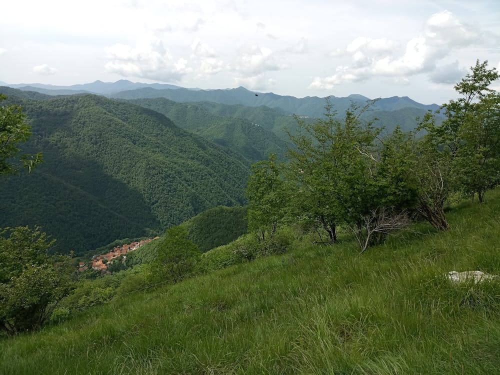
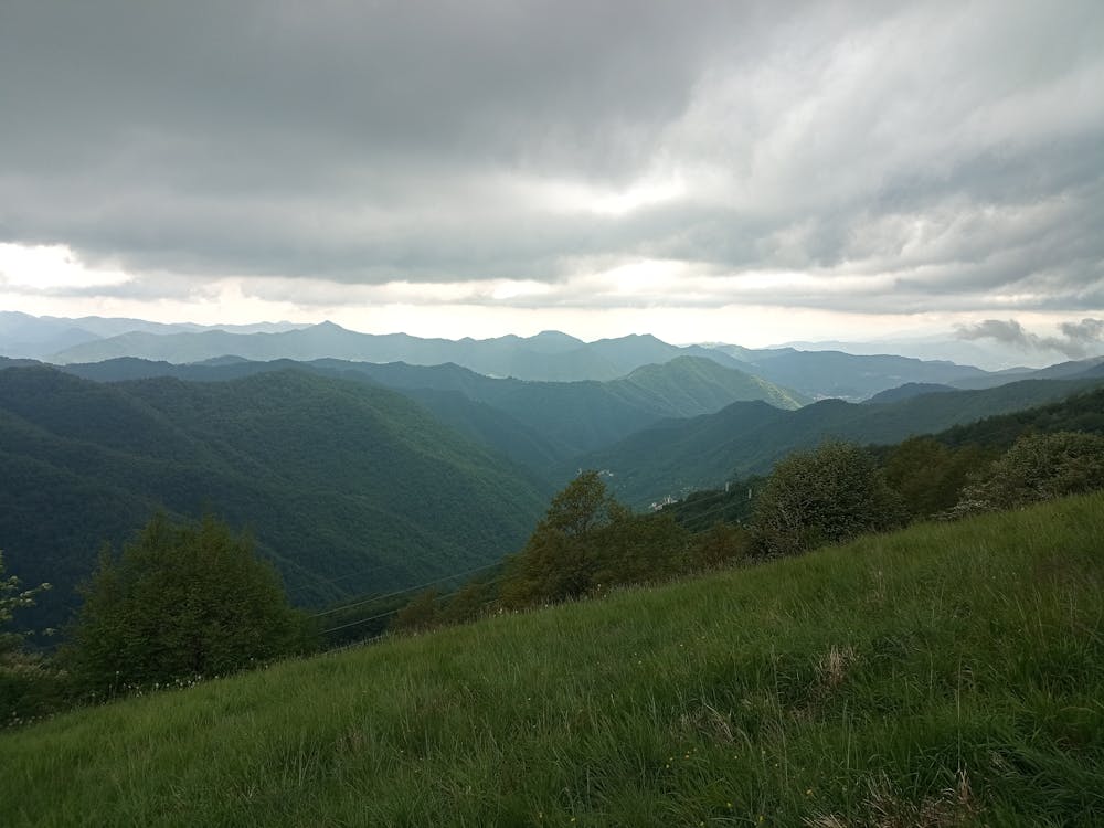
Escursione attraverso grandi boschi di castagni e faggi, panorama su Val Brevenna e Val Pentemina
Difficulty
Moderate
Hiking along trails with some uneven terrain and small hills. Small rocks and roots may be present.
Medium Exposure

The trail contains some obstacles such as outcroppings and rock which could cause injury.
Remoteness
Away from help but easily accessed.
Best time to visit
Features
- Alpine
- Wildlife
- Summit Hike
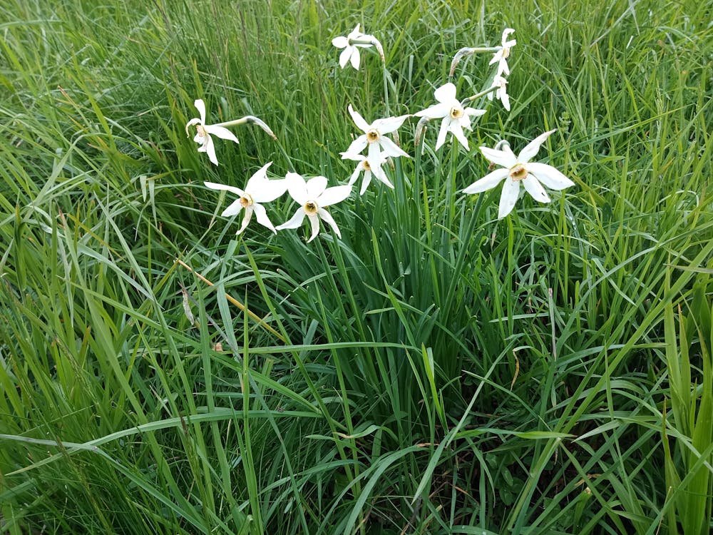
- Wild flowers
- Family friendly
- Forestry or heavy vegetation