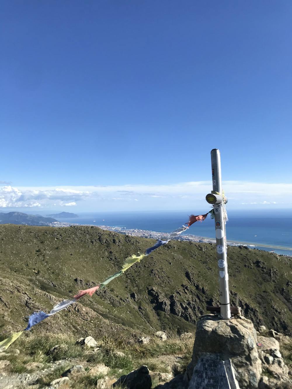
Vertical Punta Martin
Technical vertical run starting from Acquasanta to Punta Martin
Trail Running Moderate
- Distance
- 5.1 km
- Ascent
- 863 m
- Descent
- 30 m
- Duration
- 1-2 hrs
- Low Point
- 147 m
- High Point
- 980 m
- Gradient
- 21˚
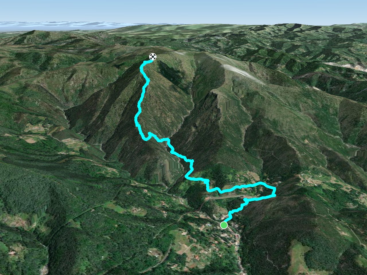
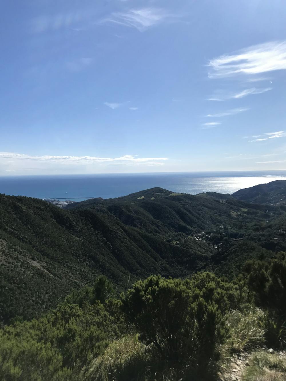
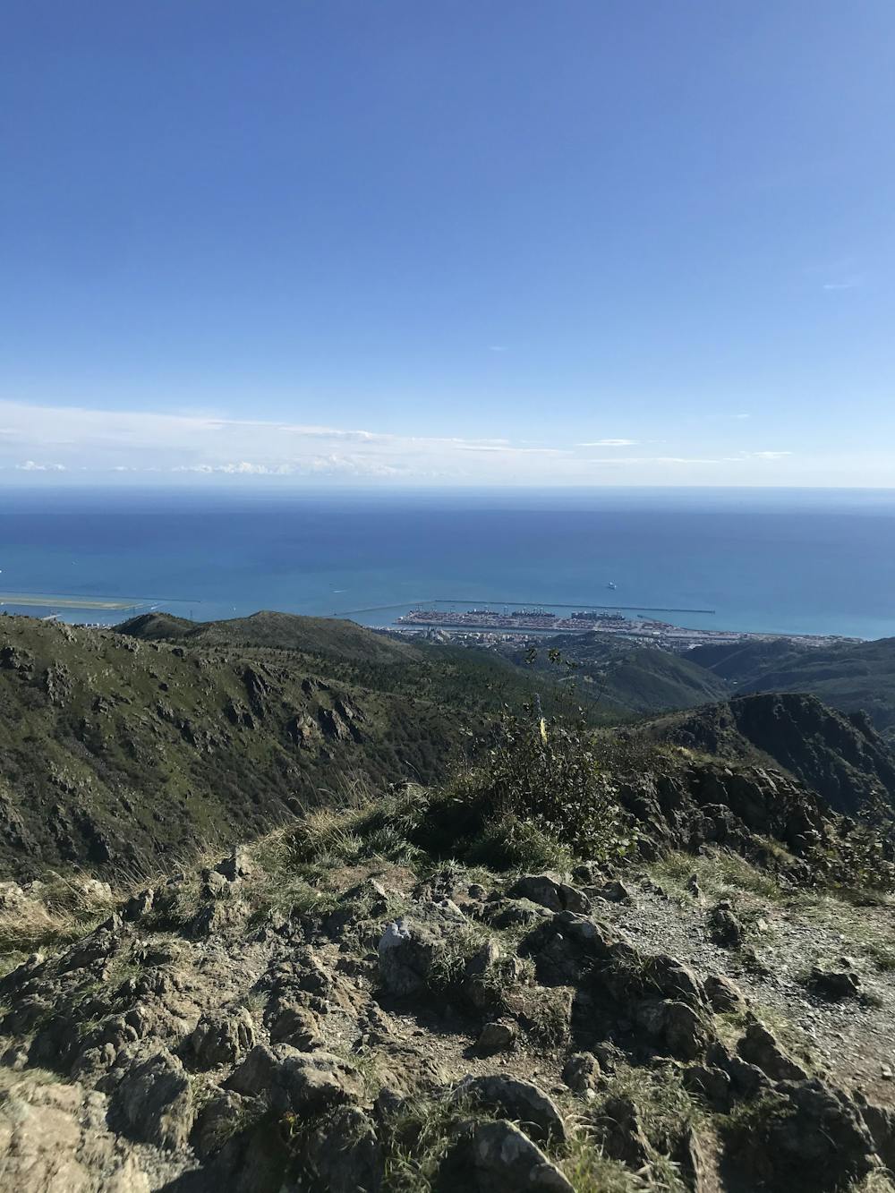
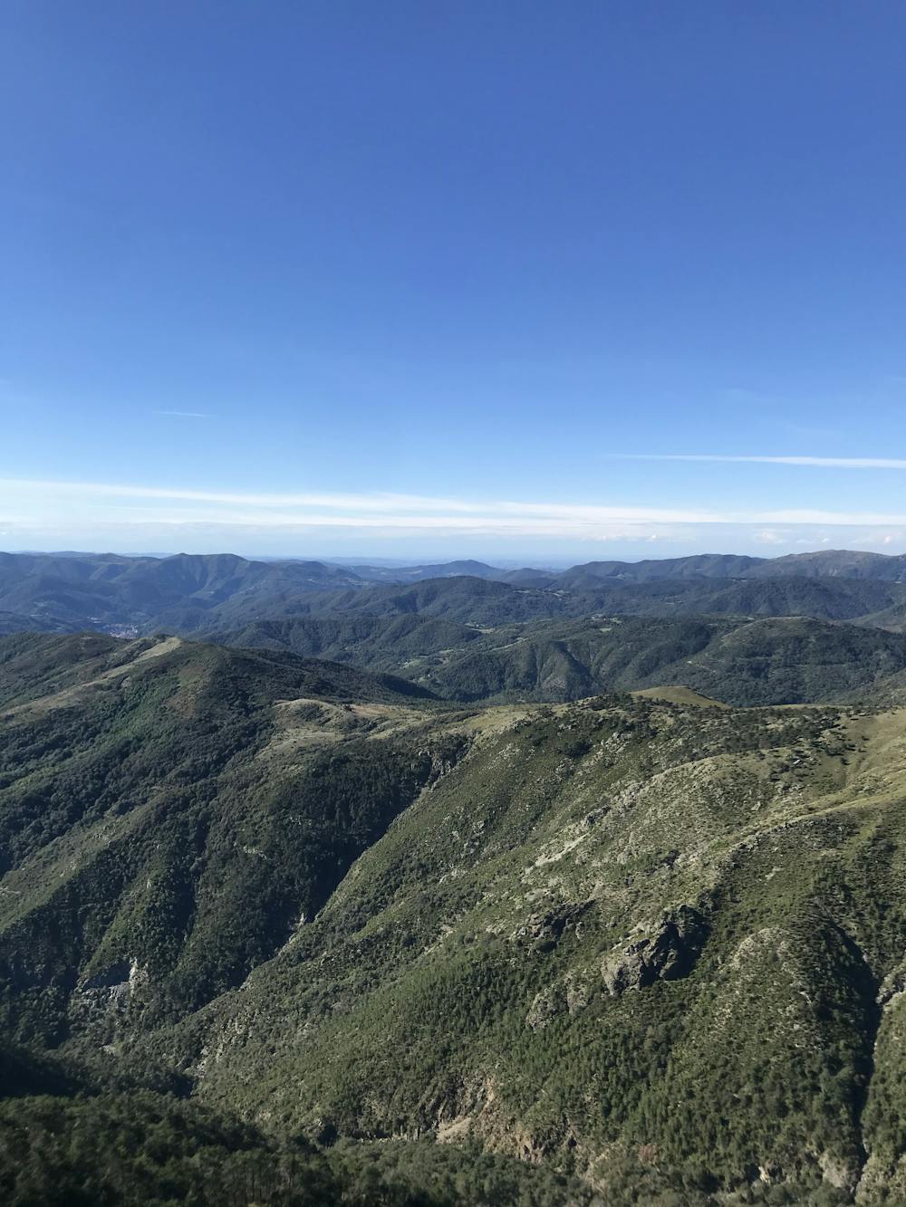
This is a popular trail running route which is generally considered to be moderate. It's remote, it features medium exposure and is typically done between April and November. From a low point of 147 m to the maximum altitude of 980 m, the route covers 5.1 km, 863 vertical metres of ascent and 30 vertical metres of descent.
- •
- •
- •
- •
- •
Description
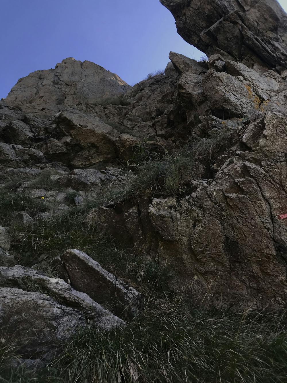
Vertical race close to Genoa. Starting from Acquasanta, follow the directions for Punta Martin. The trail could be dirty in summer, due to lack of maintenance. Few technical section where hands are required.
Difficulty
Moderate
Medium Exposure

The trail contains some obstacles such as outcroppings and rock which could cause injury.
Remoteness
Away from help but easily accessed.