2.1 km away
Pizzo Cefalone da Campo Imperatore
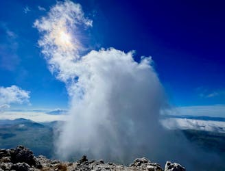
An easily-accessible hike to a beautiful mountain peak.
Easy Alpine Climbing
- Distance
- 8.3 km
- Ascent
- 524 m
- Descent
- 524 m
The Path of the Centenario is a hiking-mountaineering route of the Gran Sasso massif, in Italy, which groups the main peaks of the southern-eastern part of the massif, one of the four main traverses of the massif (together with the Campo Imperatore-Lago di Provvidenza, Campo Imperatore-Prato Selva, Campo Imperatore-Prati di Tivo-Pietracamela) and one of the longest and most evocative of the Apennines.
Alpine Climbing Severe

Departure from Vado di Corno (1922 m a.s.l.). The path winds along a mountain ridge that successively covers Monte Brancastello, Monte Prena and Monte Bandiera, traveling well over 2000 m of altitude, to end at Fonte Vetica (1632 m a.s.l.) 2, in the southern part of the plateau of Campo Imperatore after several km, looking north towards Corno Grande, west towards the aforementioned plateau (province of L'Aquila) and the peaks of the western ridge of the massif (Monte della Scindarella and Monte Bolza), east towards the Adriatic side of Teramo (province of Teramo) to the Adriatic Sea on the horizon.
Challenging CAI path, albeit with a total difference in height of around 1200m, which has several climbing sections in via ferrata at the Prena and the Bandiera, and a total length of about 16 km, the path can be further lengthened starting from the top of Campo Imperatore and reaching first Monte Aquila, then descending to Vado di Corno or first reaching the Duca degli Abruzzi Refuge on Monte Portella and then Monte Aquila.
Severe
Steep, sustained and serious terrain on rock/ice. Routes will be long, exposed and possibly committing. D, D+

Much of the route is difficult to protect and a fall could be disastrous at certain points.

Close to help in case of emergency.
2.1 km away
An easily-accessible hike to a beautiful mountain peak.
Easy Alpine Climbing

10 routes · Alpine Climbing · Canyoning · Hiking