San Sebastiano - Terraegna
Bisegna - Rifugio Terraegna - Pietra del Principe - Rif. Prato Rosso - Pescasseroli e ritorno
Mountain Biking Moderate
- Distance
- 46 km
- Ascent
- 1.3 km
- Descent
- 1.3 km
- Duration
- 4-5 hrs
- Low Point
- 1.1 km
- High Point
- 1.9 km
- Gradient
- 10˚

This is a popular mountain biking route which is generally considered to be moderate. It's remote, it features medium exposure and is typically done in undefined. From a low point of 1.1 km to the maximum altitude of 1.9 km, the route covers 46 km, 1285 vertical metres of ascent and 1284 vertical metres of descent.
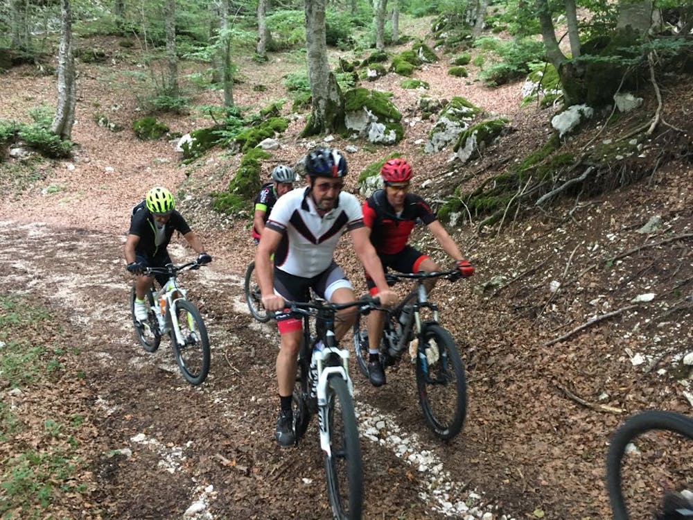
Description
Bel giro in una zona poco frequentata specie nella prima parte
Difficulty
Moderate
Mostly stable trail tread with some variability, with unavoidable obstacles 8in/20cm tall or less. Other obstacles such as rock gullies and steep sections may exist. Ideal for lower intermediate riders.
Medium Exposure

The trail contains some obstacles such as outcroppings and rock which could cause injury.
Remoteness
Away from help but easily accessed.
Best time to visit
Features
- Hike a bike
- In the forest