Monte Parodi (673m)
Salita collinare nel comune della Spezia
Hiking Easy
- Distance
- 10 km
- Ascent
- 679 m
- Descent
- 665 m
- Duration
- 3-4 hrs
- Low Point
- 13 m
- High Point
- 659 m
- Gradient
- 15˚

This is a popular hiking route which is generally considered to be easy. It's not remote, it features low exposure and is typically done all year round. From a low point of 13 m to the maximum altitude of 659 m, the route covers 10 km, 679 vertical metres of ascent and 665 vertical metres of descent.
Description
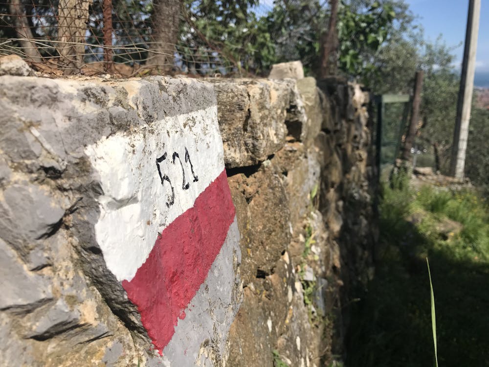
Salita al Monte Parodi, nel comune della Spezia: i sentieri intrapresi sono il 521 - 521 variante - 523 per salita e 519 per la discesa.
Difficulty
Easy
Walking along a well-kept trail that’s mostly flat. No obstacles are present.
Low Exposure

The path is on completely flat land and potential injury is limited to falling over.
Remoteness
Close to help in case of emergency.
Best time to visit
Features
- Dog friendly
- Wild flowers
- Family friendly
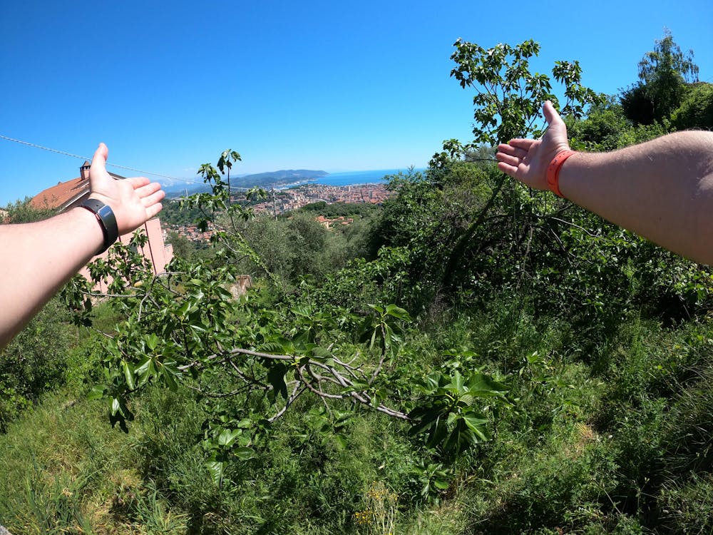
- Forestry or heavy vegetation