Monte Santa Croce (543m)
Salita alla fortezza del Monte Santa Croce
Hiking Easy
- Distance
- 13 km
- Ascent
- 770 m
- Descent
- 770 m
- Duration
- 4-5 hrs
- Low Point
- 2 m
- High Point
- 529 m
- Gradient
- 14˚
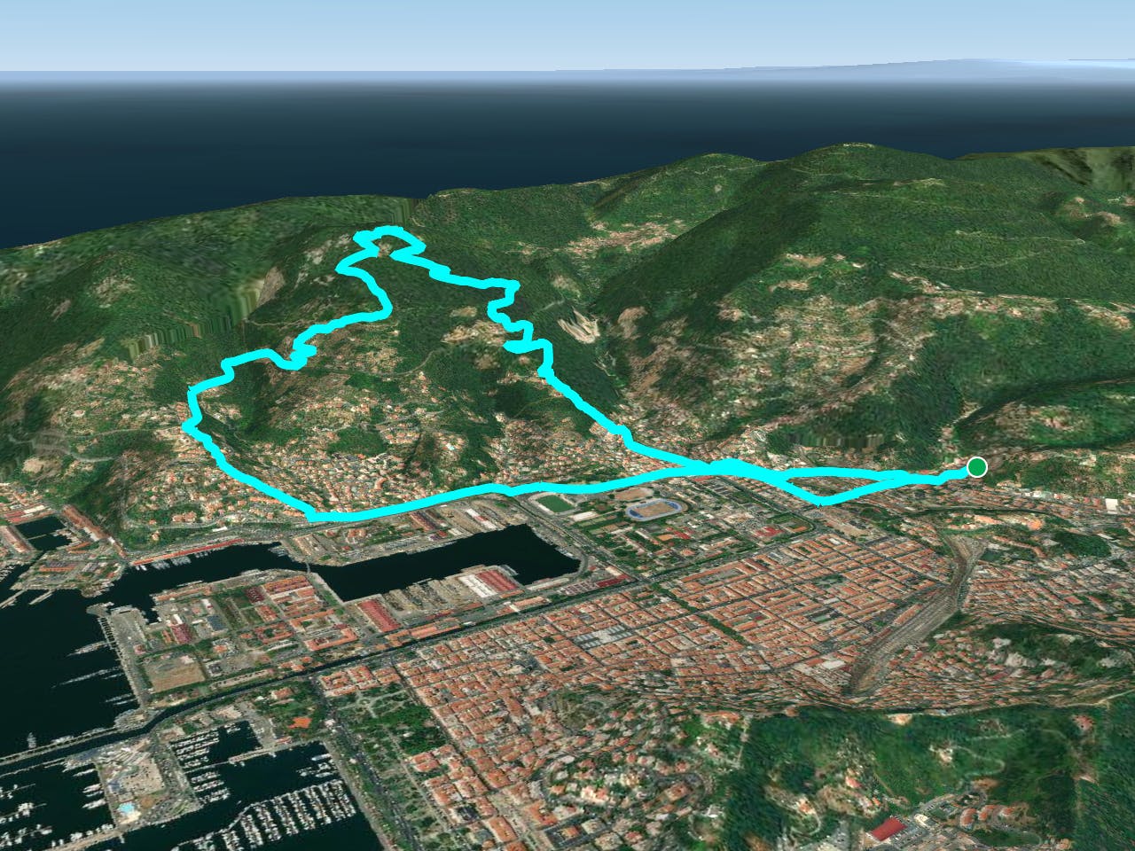
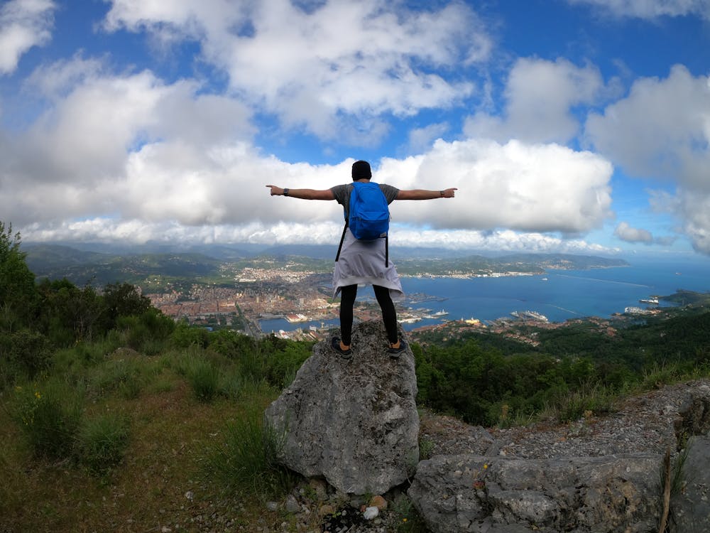
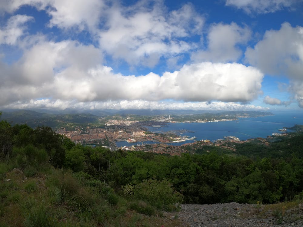
This is a popular hiking route which is generally considered to be easy. It's not remote, it features low exposure and is typically done all year round. From a low point of 2 m to the maximum altitude of 529 m, the route covers 13 km, 770 vertical metres of ascent and 770 vertical metres of descent.
- •
- •
- •
Description
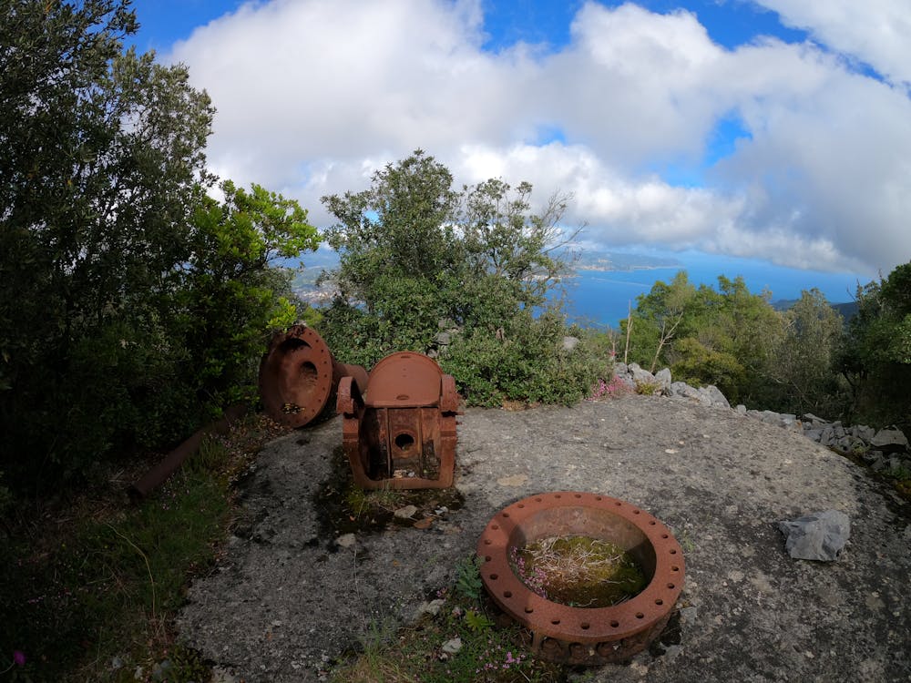
Salita alla Batteria del Monte Santa Croce tramite la 'Scalinata Belvedere' e il Sentiero CAI n°525.
Difficulty
Easy
Walking along a well-kept trail that’s mostly flat. No obstacles are present.
Low Exposure

The path is on completely flat land and potential injury is limited to falling over.
Remoteness
Close to help in case of emergency.
Best time to visit
Features
- Historical
- Dog friendly
- Family friendly
- Forestry or heavy vegetation