Traversata alta delle grigne (EEA)
Loop trekking starting from Piani Resinelli
Hiking Moderate
- Distance
- 17 km
- Ascent
- 1.9 km
- Descent
- 1.9 km
- Duration
- 1 day +
- Low Point
- 1.1 km
- High Point
- 2.4 km
- Gradient
- 30˚

This is a popular hiking route which is generally considered to be moderate. It's not remote, it features high exposure and is typically done in April, May, June, September, October and November. From a low point of 1.1 km to the maximum altitude of 2.4 km, the route covers 17 km, 1889 vertical metres of ascent and 1888 vertical metres of descent.
- •
- •
- •
- •
- •
Description
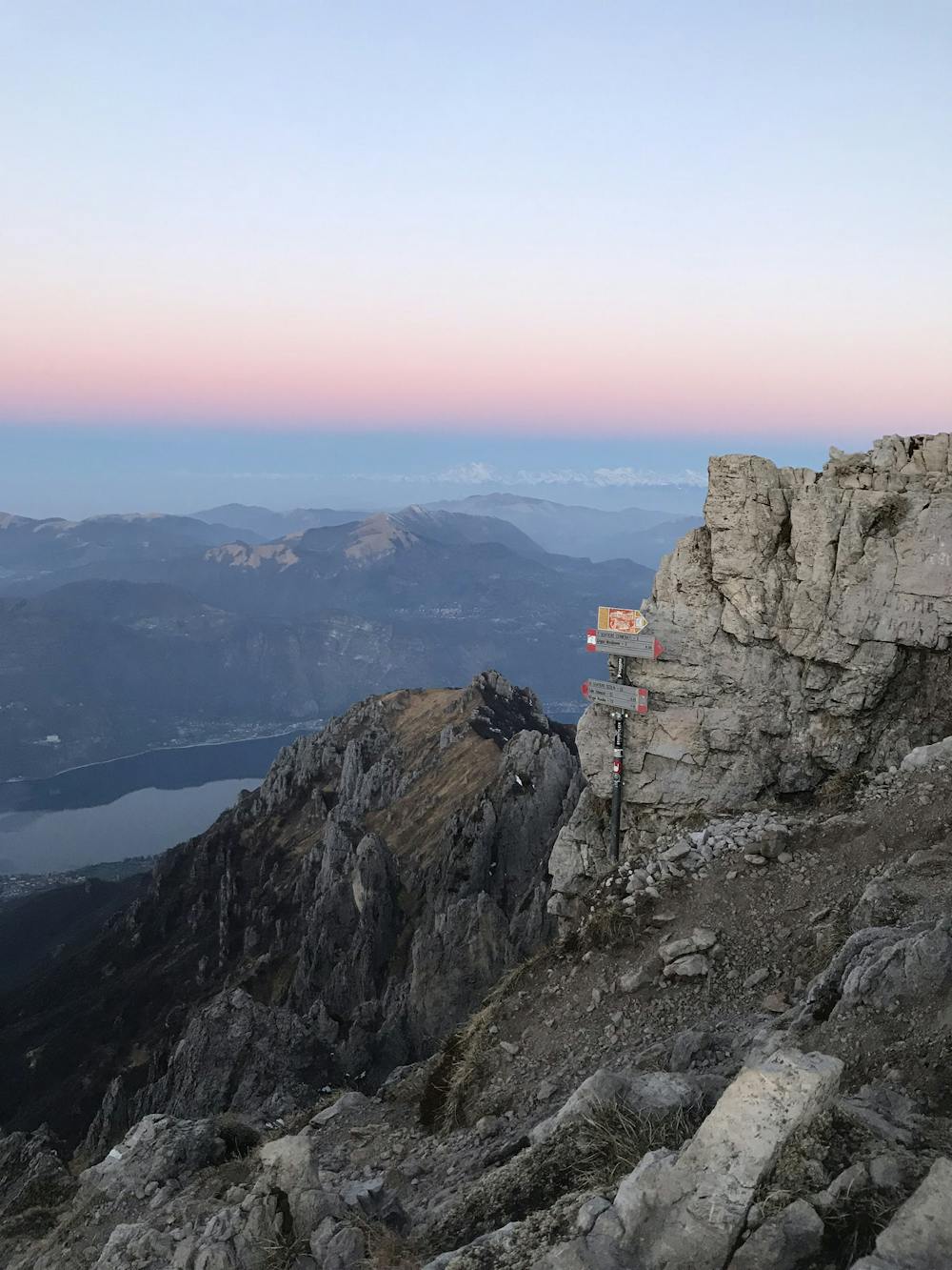
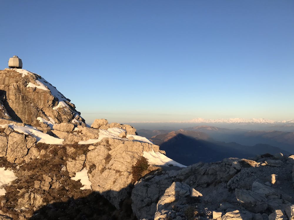
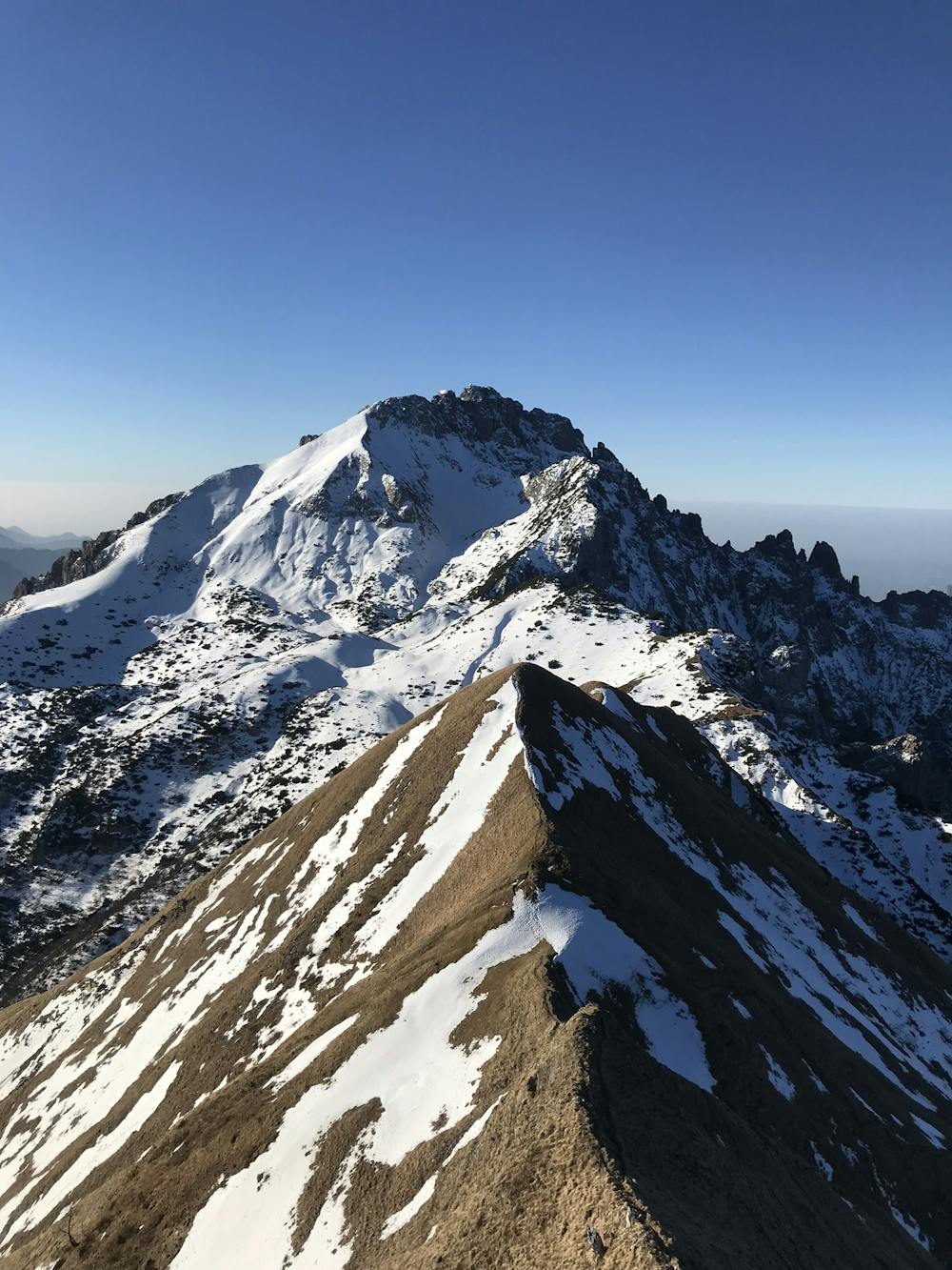
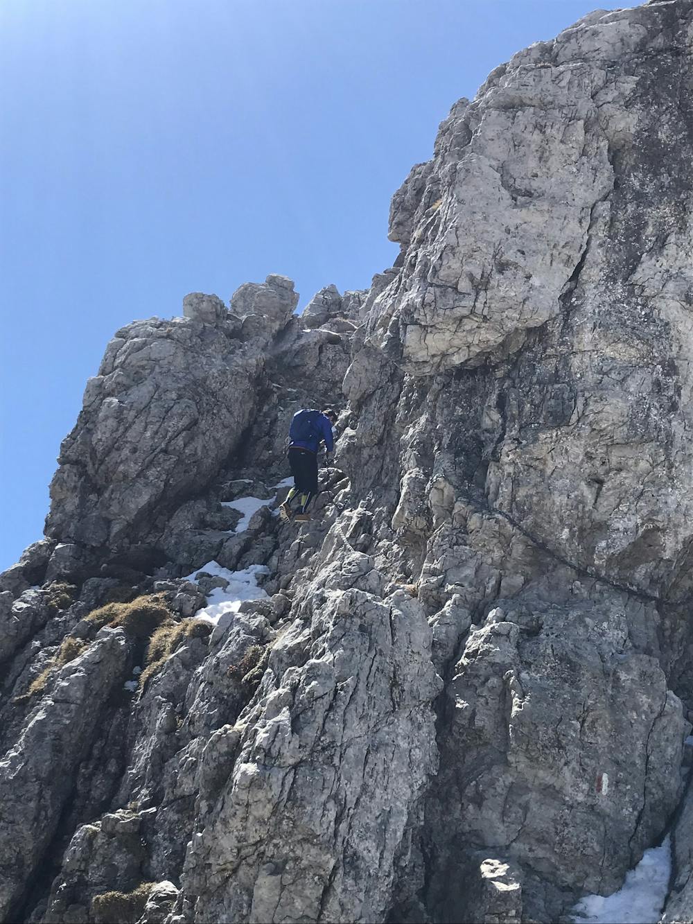
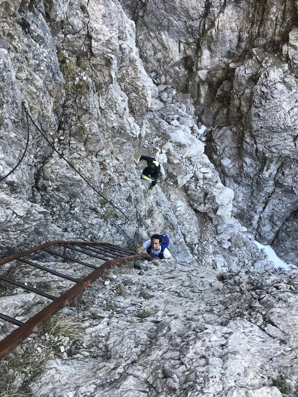
Long and demanding hiking with some exposed traits equipped with chains. Fantastic ridge between the two peaks, a bit boring return halfway up the peaks.
Difficulty
Moderate
Hiking along trails with some uneven terrain and small hills. Small rocks and roots may be present.
High Exposure

Some trail sections have exposed ledges or steep ascents/descents where falling could cause serious injury.
Remoteness

Close to help in case of emergency.
Best time to visit
Features
- Picturesque
- Summit Hike
- Wild flowers