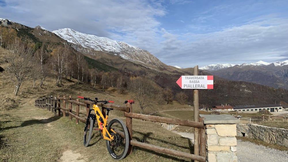
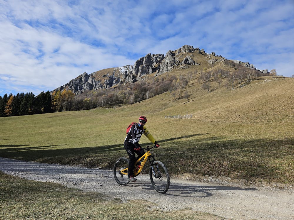
Traversata bassa grigne
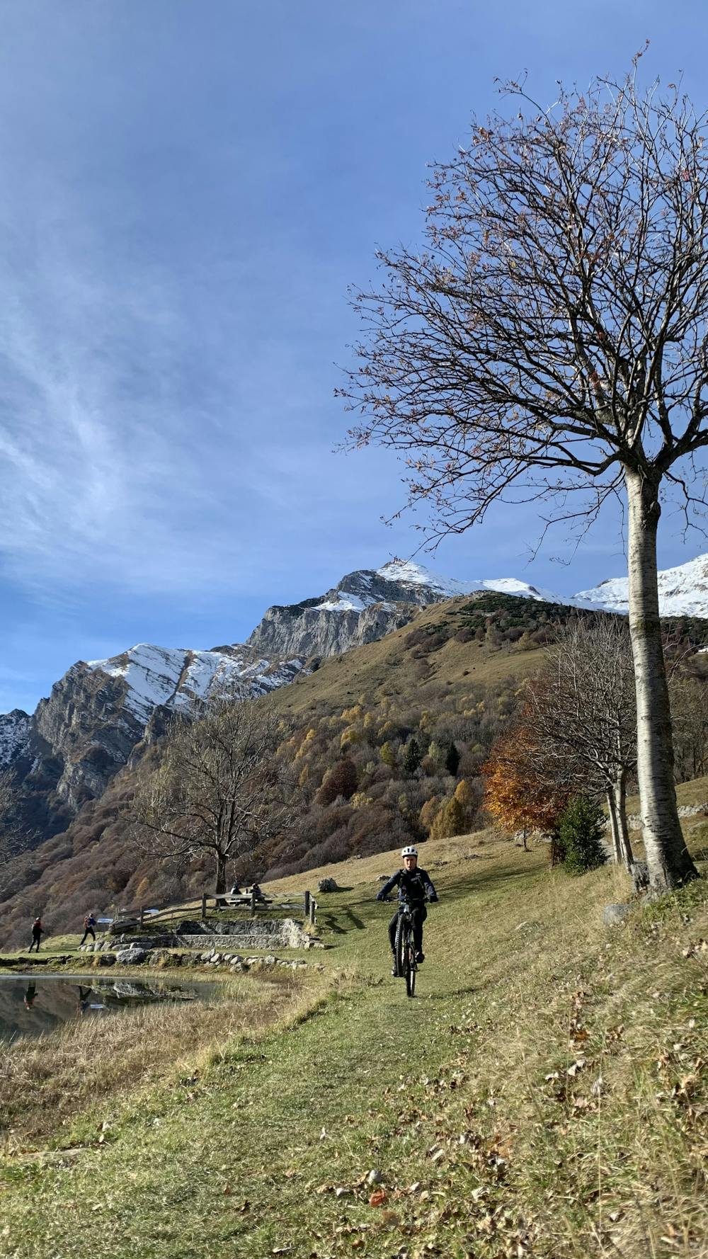
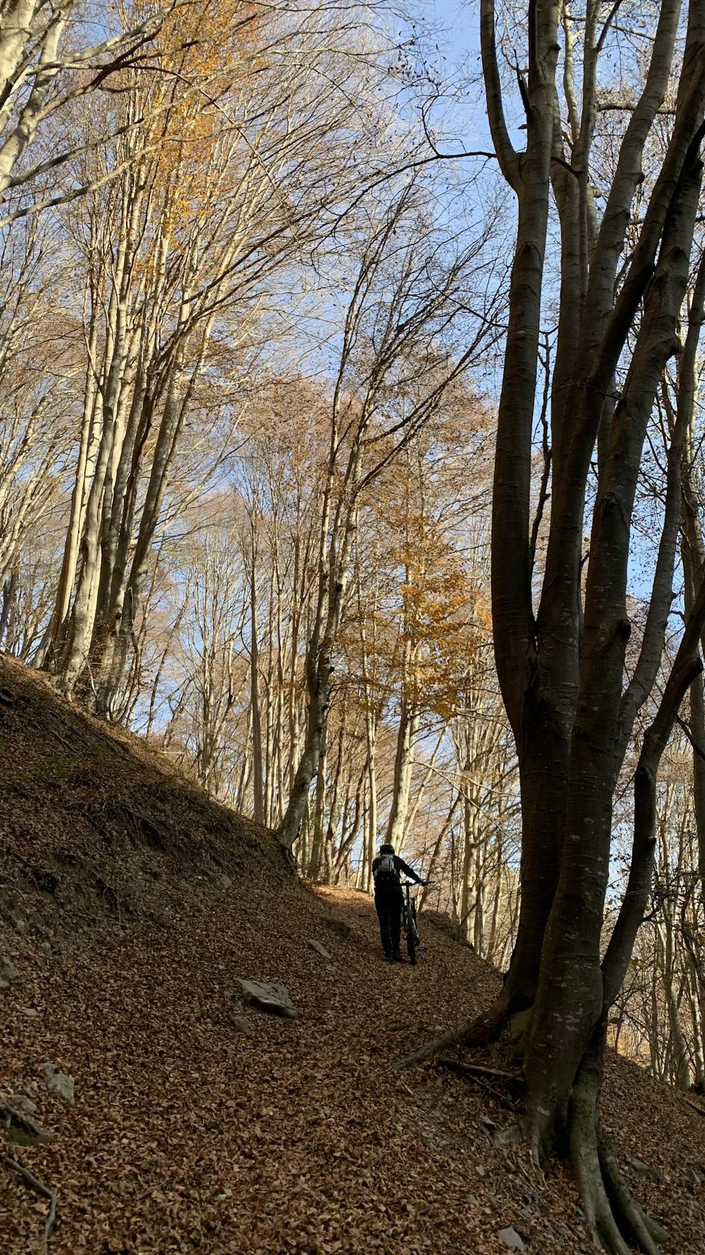
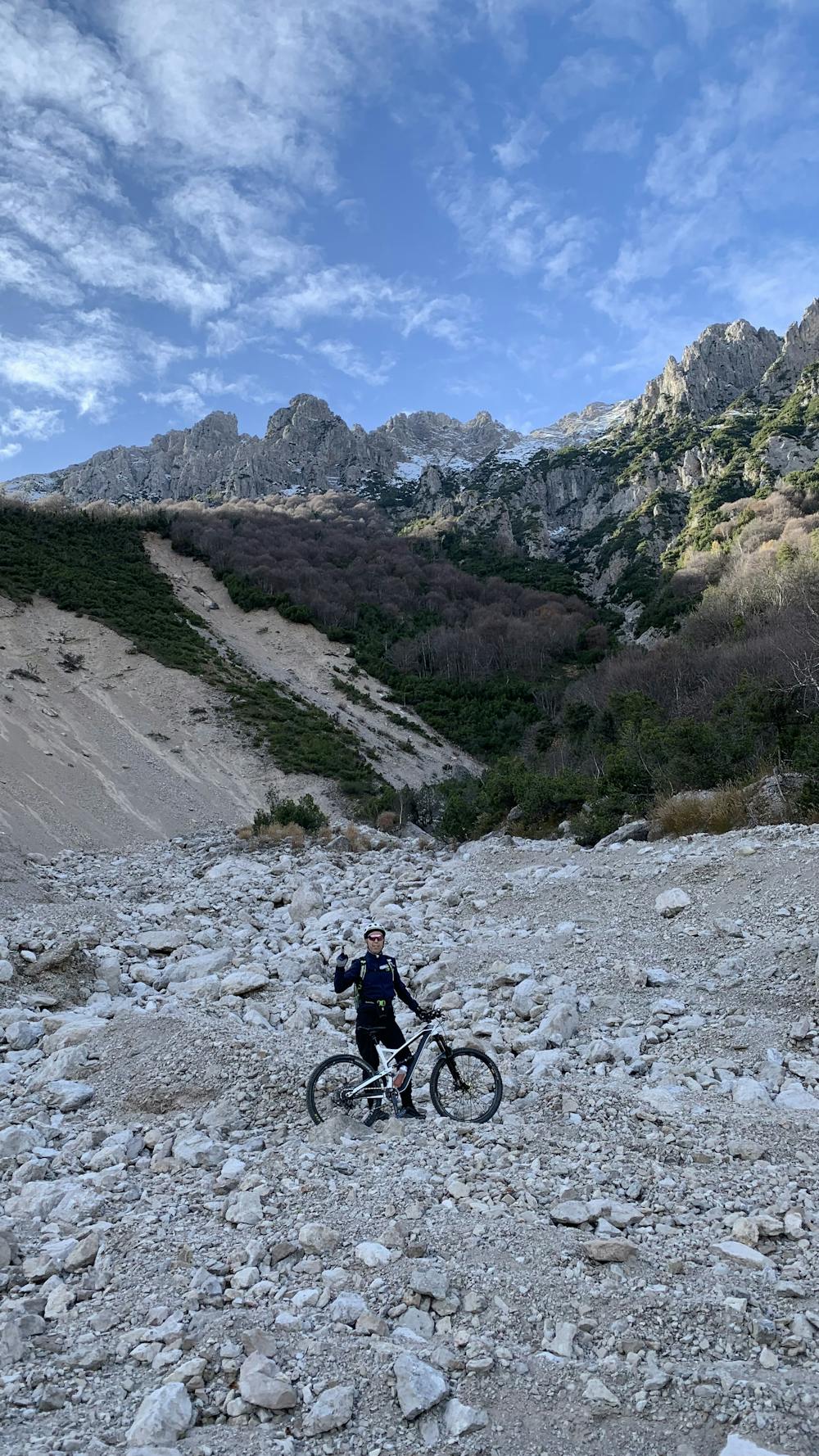
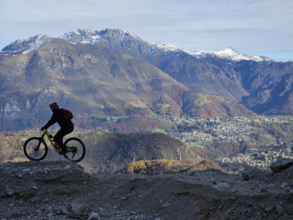
Partenza da Ballabio, salita su asfalto fino ai Piani Resinelli, poi traversata bassa grigne fino all’Alpe Cova, sentieri a scendere. Il primo bello tecnico. Poi più morbidi. Spero finire vari canaloni con un po’ di tutto.
Mountain Biking Moderate
- Distance
- 24 km
- Ascent
- 1.1 km
- Descent
- 1.1 km
- Duration
- 2-3 hrs
- Low Point
- 672 m
- High Point
- 1.4 km
- Gradient
- 16˚

This is a popular mountain biking route which is generally considered to be moderate. It's not remote, it features low exposure and is typically done between March and November. From a low point of 672 m to the maximum altitude of 1.4 km, the route covers 24 km, 1100 vertical metres of ascent and 1099 vertical metres of descent.
- •
- •
- •
- •
- •
- •
Description
Partenza da Ballabio, salita su asfalto fino ai Piani Resinelli, poi traversata bassa grigne fino all’Alpe Cova, sentieri a scendere. Il primo bello tecnico. Poi più morbidi. Nel finire vari canaloni con un po’ di tutto.
Difficulty
Moderate
Mostly stable trail tread with some variability, with unavoidable obstacles 8in/20cm tall or less. Other obstacles such as rock gullies and steep sections may exist. Ideal for lower intermediate riders.
Low Exposure

The path is on completely flat land and potential injury is limited to falling over.
Remoteness
Close to help in case of emergency.
Best time to visit
Features
- Flow
- Technical
- Hike a bike
- In the forest
- Drops
- Roots
- Gap Jumps
- Rock Rolls
- Rock Slabs
- Rock Gardens