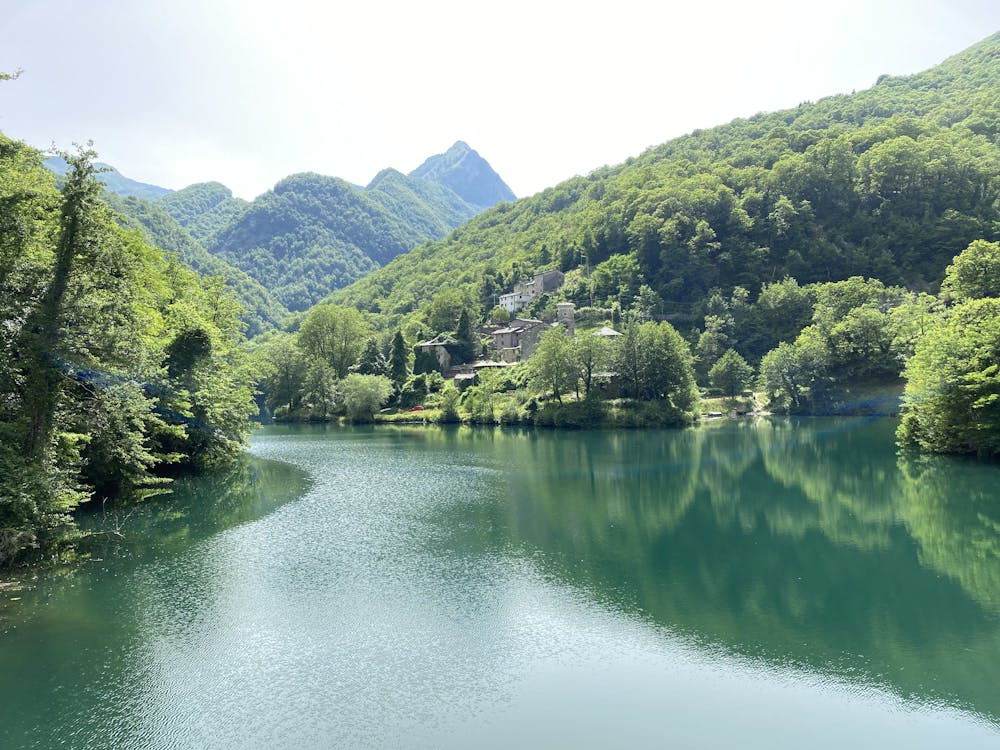
Isola Santa - Rifugio del Freo - Omo Morto - Isola Santa
A beautiful path that crosses suggestive glimpses of the Apuan Alps
Hiking Severe
- Distance
- 18 km
- Ascent
- 1.5 km
- Descent
- 1.5 km
- Duration
- 6-7 hrs
- Low Point
- 416 m
- High Point
- 1.6 km
- Gradient
- 23˚

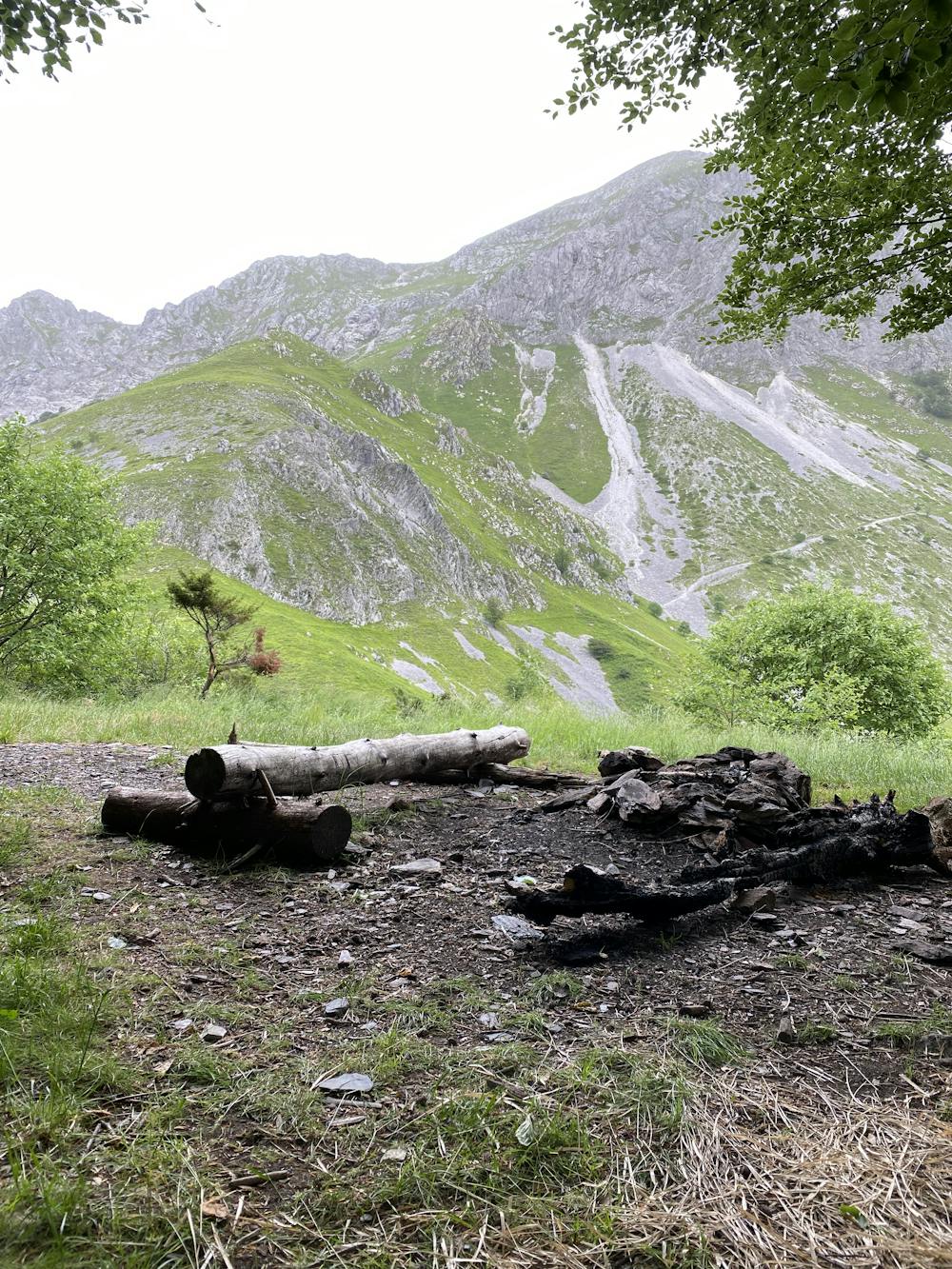
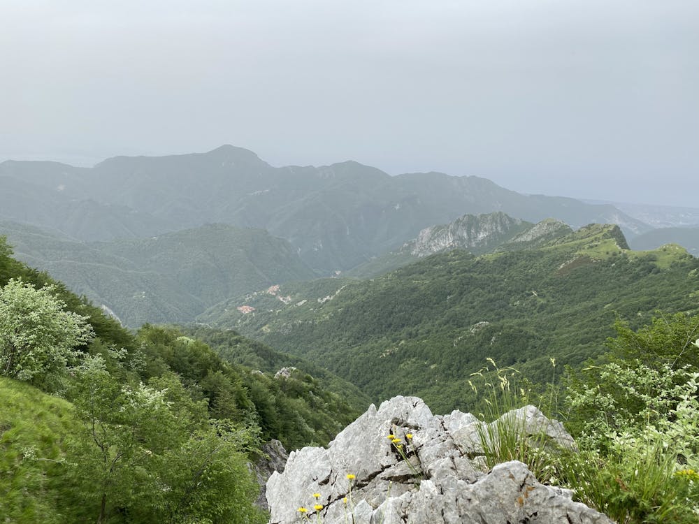
The path begins in the beautiful town of Isola Santa, a town that almost seems straight out of a fairytale. The strenuous climb is rewarded by the beauty of the panorama once you reach the top, where the sunset and the moon shine on the slopes of the mountain that stands out before your eyes. The path continues, not without danger, looking out towards the valley. Finally the climb to the highest point. The descent is accompanied by the noise of the streams that flow towards the valley. For experienced hikers only
- •
- •
- •
Difficulty
Severe
Hiking challenging trails where simple scrambling, with the occasional use of the hands, is a distinct possibility. The trails are often filled with all manner of obstacles both small and large, and the hills are very steep. Obstacles and challenges are often unexpected and can be unpredictable.
Extreme Exposure

Some trail sections are extremely exposed where falling will almost certainly result in serious injury or death.
Remoteness

Away from help but easily accessed.