Morning Hike
Termini-San Costanzo-Punta Campanella-Termini
Hiking Easy
- Distance
- 6.8 km
- Ascent
- 432 m
- Descent
- 432 m
- Duration
- 1-2 hrs
- Low Point
- 37 m
- High Point
- 456 m
- Gradient
- 18˚

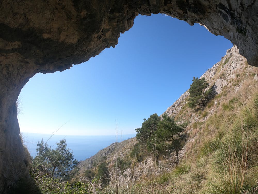
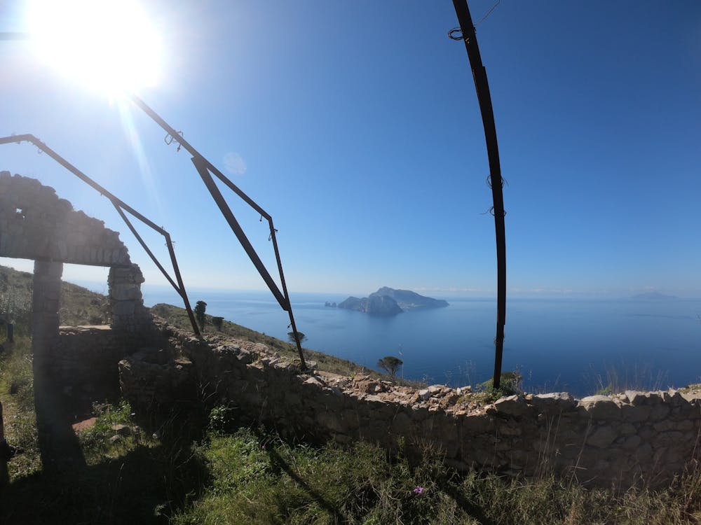
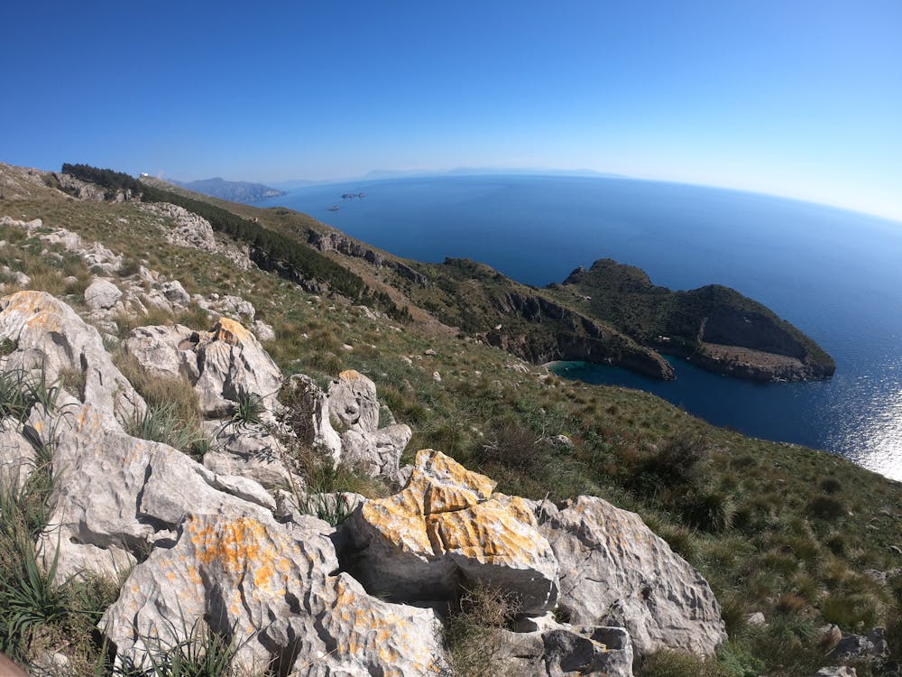
This is a popular hiking route which is generally considered to be easy. It's not remote, it features medium exposure and is typically done all year round. From a low point of 37 m to the maximum altitude of 456 m, the route covers 6.8 km, 432 vertical metres of ascent and 432 vertical metres of descent.
- •
- •
- •
Description
Escursione semplice, non richiede un particolare sforzo fisico.
Difficulty
Easy
Walking along a well-kept trail that’s mostly flat. No obstacles are present.
Medium Exposure

The trail contains some obstacles such as outcroppings and rock which could cause injury.
Remoteness

Close to help in case of emergency.
Best time to visit
Features
- Picturesque