Magna Via Francigena - Traccia unica
Tutta la Magna Via Francigena in una sola traccia per poterla percorrere senza cambiare mai traccia
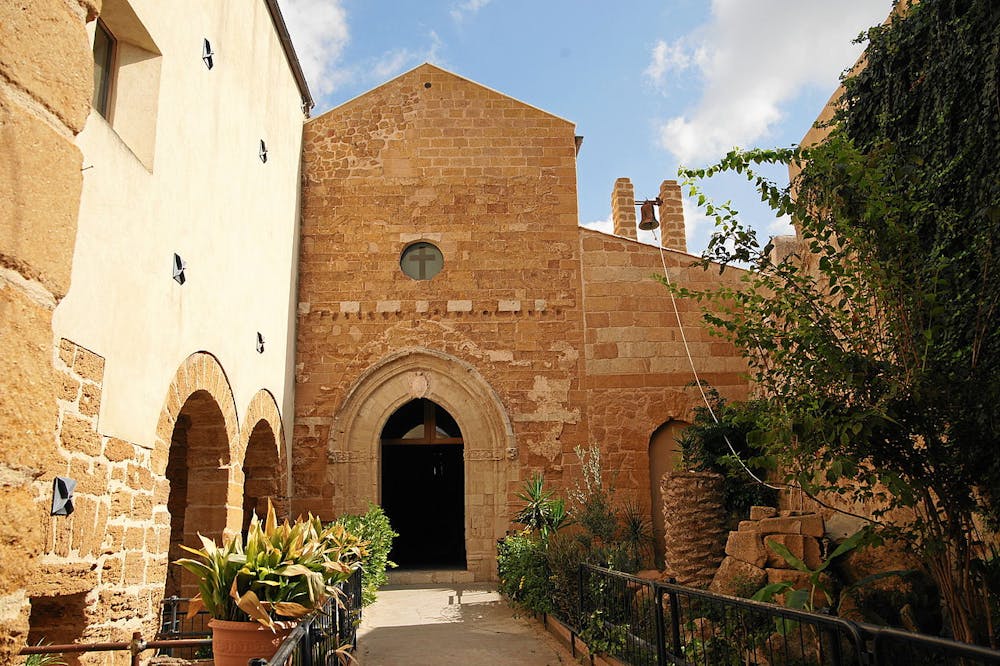
Also in Agrigento, Italy
Hiking Difficult
- Distance
- 187 km
- Ascent
- 5.6 km
- Descent
- 5.3 km
- Duration
- 1 day +
- Low Point
- 24 m
- High Point
- 1 km
- Gradient
- 6˚

This is a popular hiking route which is generally considered to be difficult. It's remote, it features medium exposure and is typically done in March, April, May, June, July, September, October, November and December. From a low point of 24 m to the maximum altitude of 1 km, the route covers 187 km, 5577 vertical metres of ascent and 5289 vertical metres of descent.
- •
- •
- •
- •
- •
- •
- •
Description
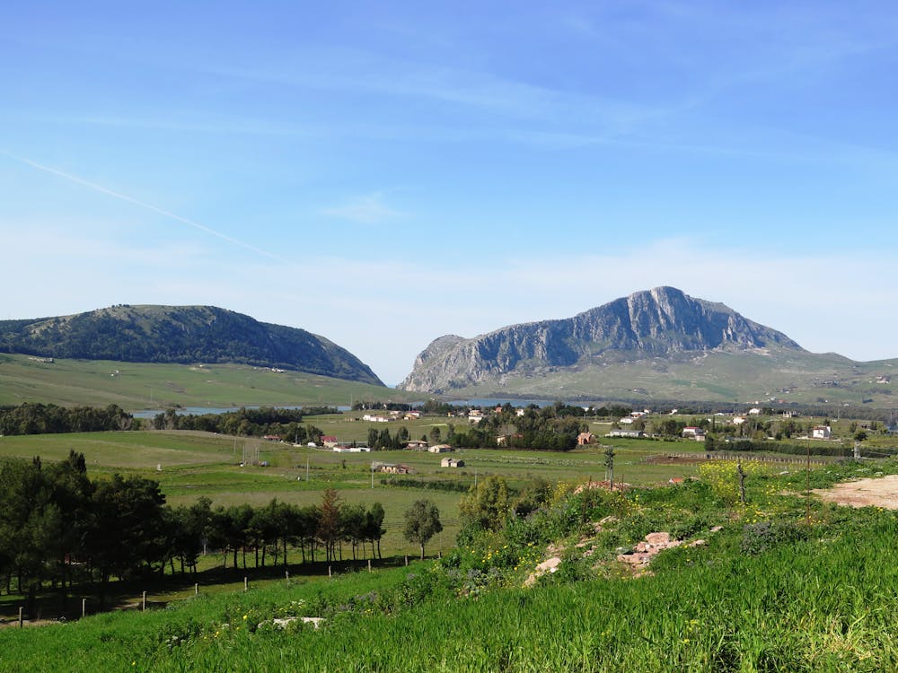
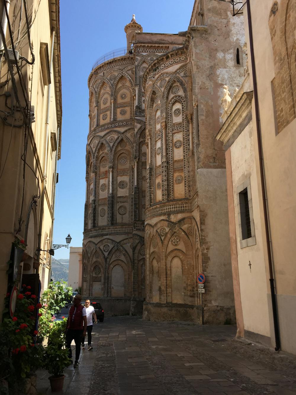
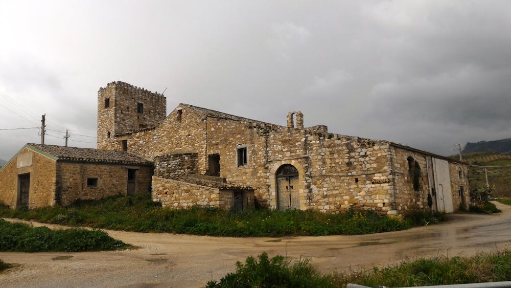
La prima delle vie francigene di Sicilia. Traccia unica che unisce le 9 tappe della Magna Via. Da Palermo ad Agrigento in unica traccia per ciclisti e pellegrini.
Difficulty
Difficult
Hiking trails where obstacles such as rocks or roots are prevalent. Some obstacles can require care to step over or around. At times, the trail can be worn and eroded. The grade of the trail is generally quite steep, and can often lead to strenuous hiking.
Medium Exposure

The trail contains some obstacles such as outcroppings and rock which could cause injury.
Remoteness
Away from help but easily accessed.
Best time to visit
Features
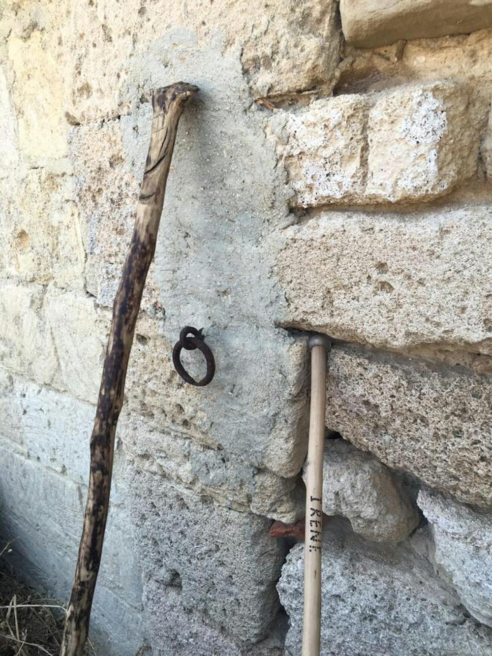
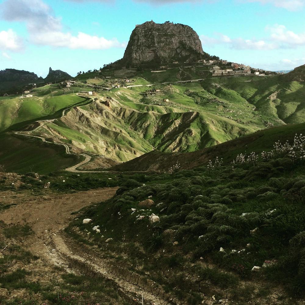
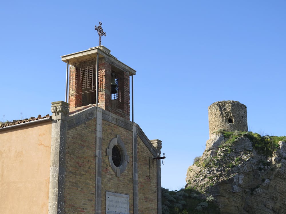
- Historical
- Picturesque
- Dog friendly
- Water features