La Diagonale
Percorso per raggiungere il punto panoramico del Sassopiano
Hiking Easy
- Distance
- 1.2 km
- Ascent
- 249 m
- Descent
- 0 m
- Duration
- 0-1 hrs
- Low Point
- 870 m
- High Point
- 1.1 km
- Gradient
- 14˚

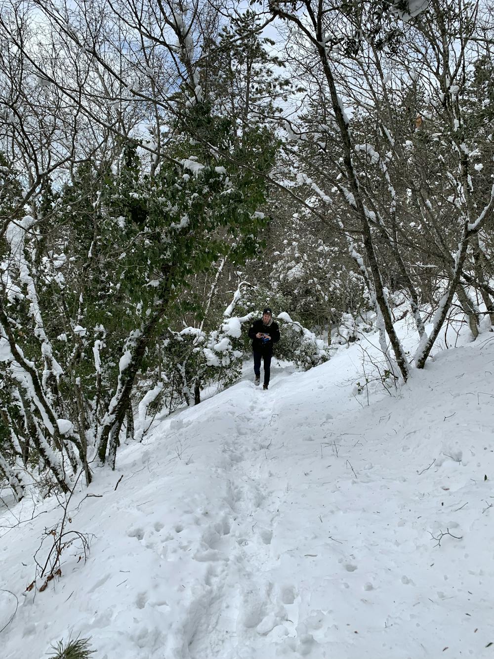
è un percorso per raggiungere il luogo Sassopiano più rapido e immersivo nel bosco rispetto al percorso più comune che costeggia la cresta del monte Subasio. La salita richiede dai 20 ai 35 minuti, dipende dall'andamento. è possibile parcheggiare l'auto poco dopo il punto di partenza in una apposita area picnic o poco prima nel parcheggio adibito dell'Eremo di San Francesco.
Difficulty
Easy
Walking along a well-kept trail that’s mostly flat. No obstacles are present.
Low Exposure

The path is on completely flat land and potential injury is limited to falling over.
Remoteness

Little chance of being seen or helped in case of an accident.
Best time to visit
Features
- Picturesque
- Summit Hike
- Dog friendly
- Wild flowers
- Family friendly
- Forestry or heavy vegetation