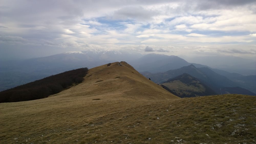
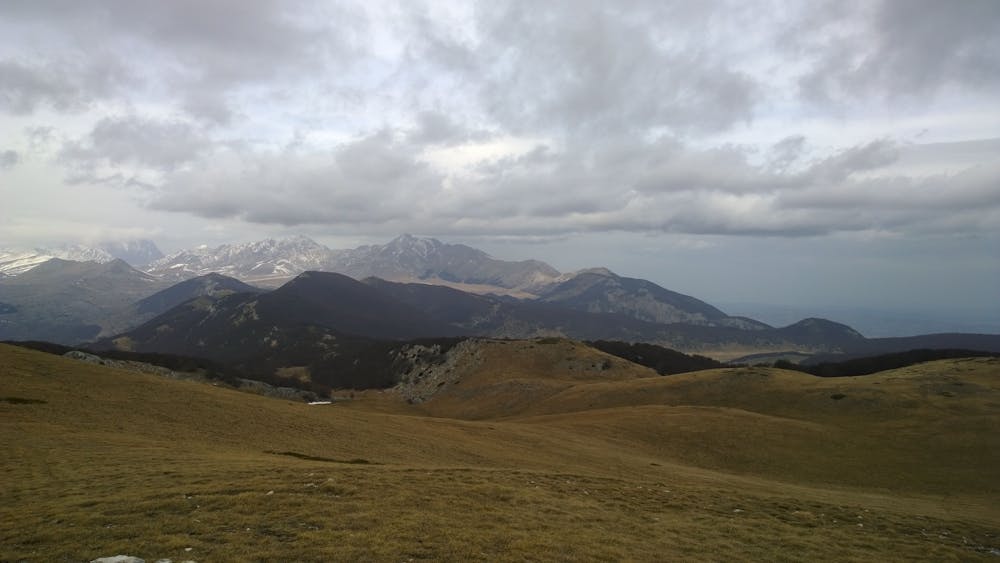
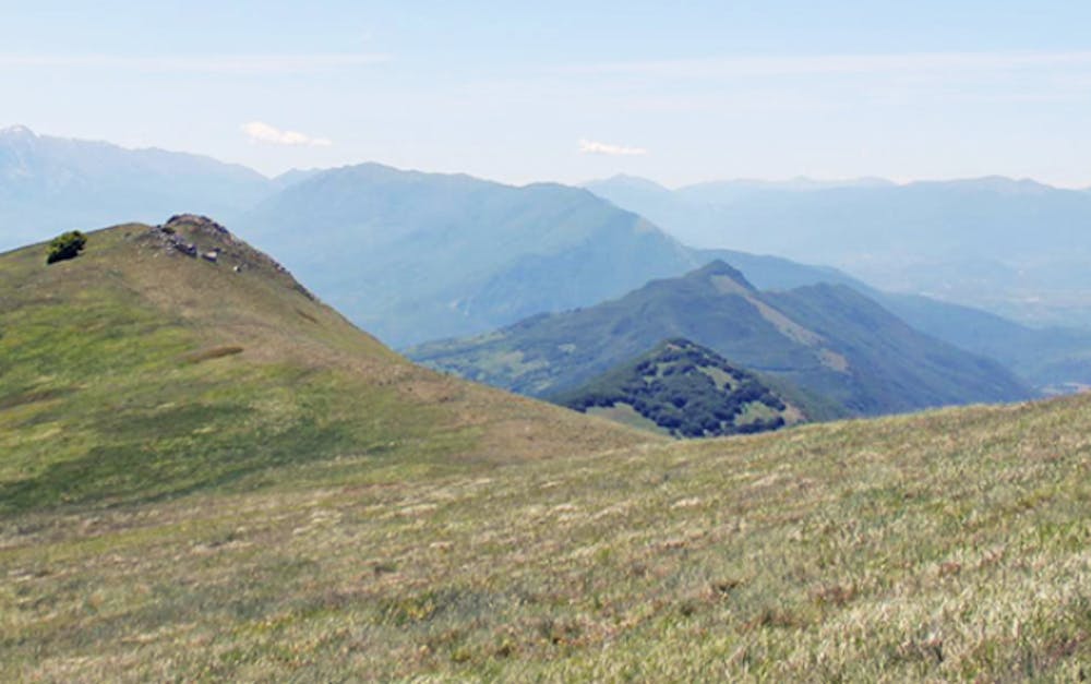
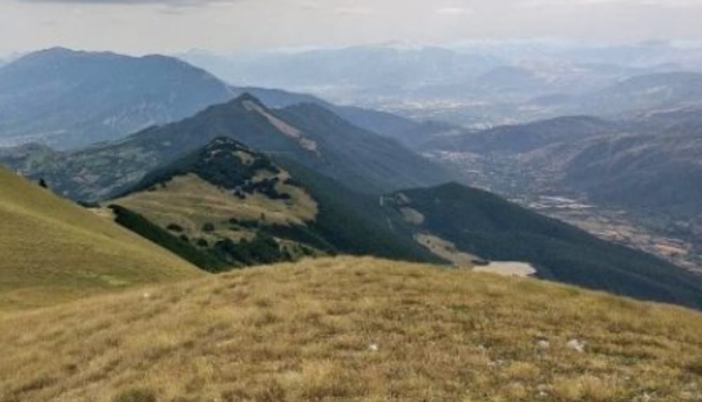
Monte Cappucciata da Cannatina
#beautifulview #panoramicabruzzo #hike
Hiking Easy
- Distance
- 9.1 km
- Ascent
- 493 m
- Descent
- 501 m
- Duration
- 2-3 hrs
- Low Point
- 1.3 km
- High Point
- 1.8 km
- Gradient
- 10˚

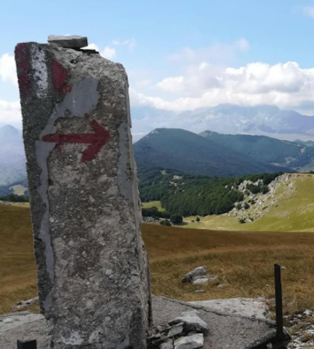
This is a popular hiking route which is generally considered to be easy. It's not remote, it features low exposure and is typically done between April and November. From a low point of 1.3 km to the maximum altitude of 1.8 km, the route covers 9.1 km, 493 vertical metres of ascent and 501 vertical metres of descent.
- •
- •
- •
- •
- •
Description
Percorso semplice su una delle vette più centrali d'Abruzzo dalla vista magnifica.
Difficulty
Easy
Walking along a well-kept trail that’s mostly flat. No obstacles are present.
Low Exposure

The path is on completely flat land and potential injury is limited to falling over.
Remoteness
Close to help in case of emergency.
Best time to visit
Features
- Alpine
- Picturesque
- Summit Hike