Valle Dell' Orfento - Sentiero delle Scalelle
#intothewild #valley #river @waterfall
Hiking Easy
- Distance
- 4 km
- Ascent
- 257 m
- Descent
- 257 m
- Duration
- 1-2 hrs
- Low Point
- 494 m
- High Point
- 617 m
- Gradient
- 13˚

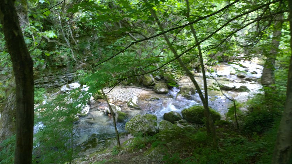
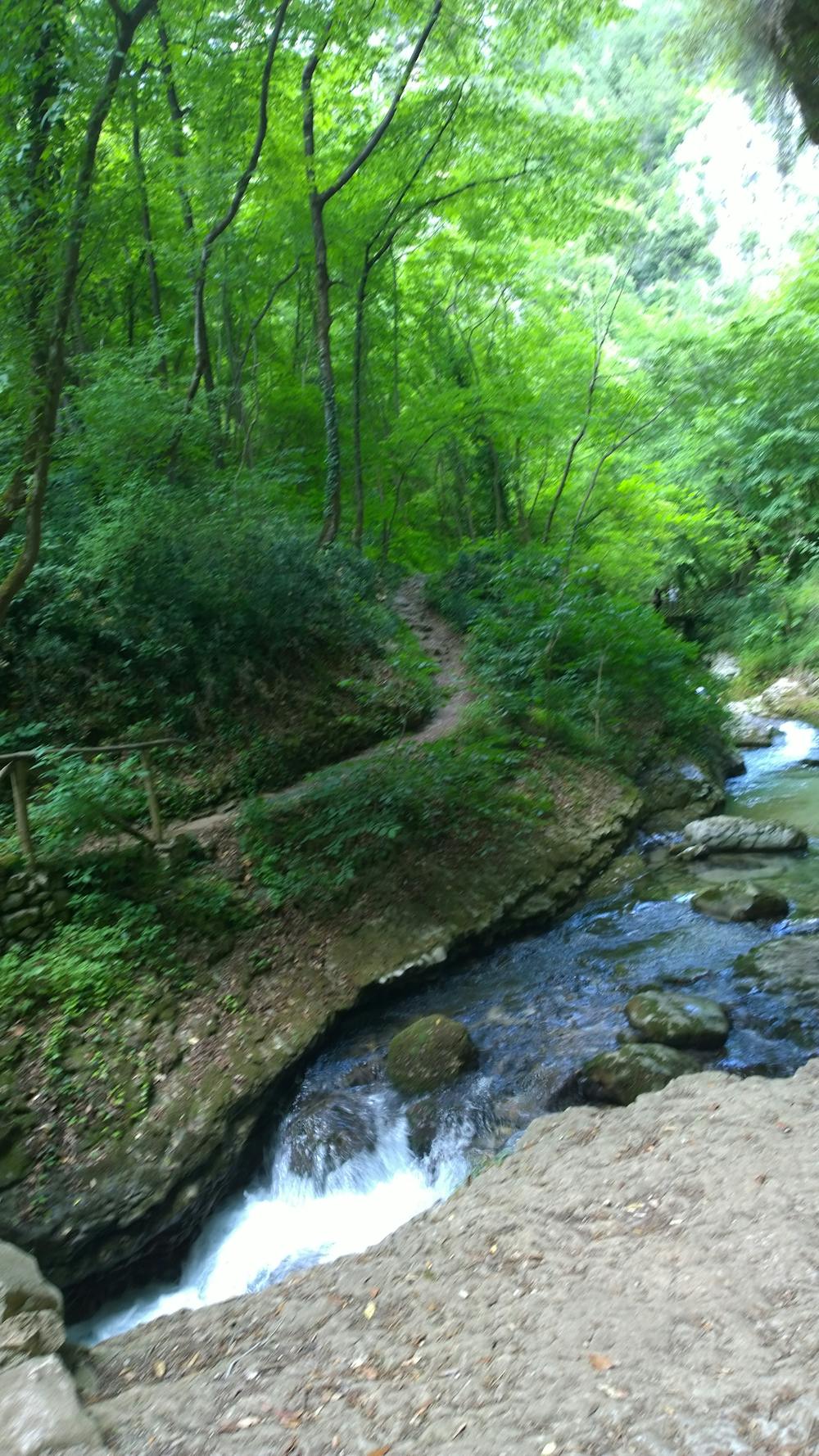
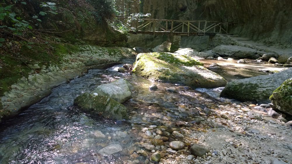
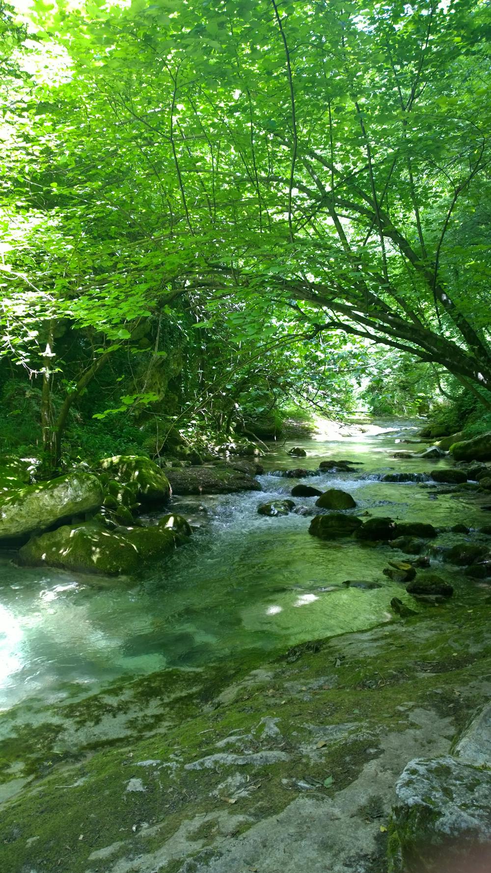
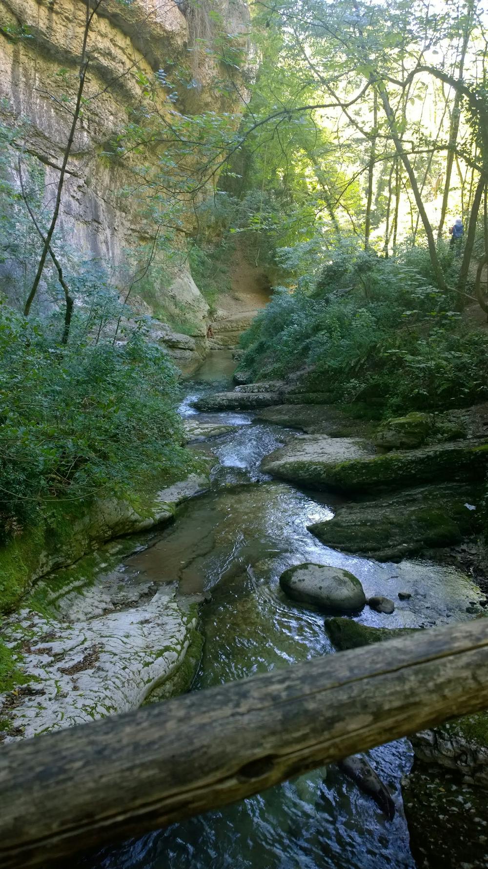
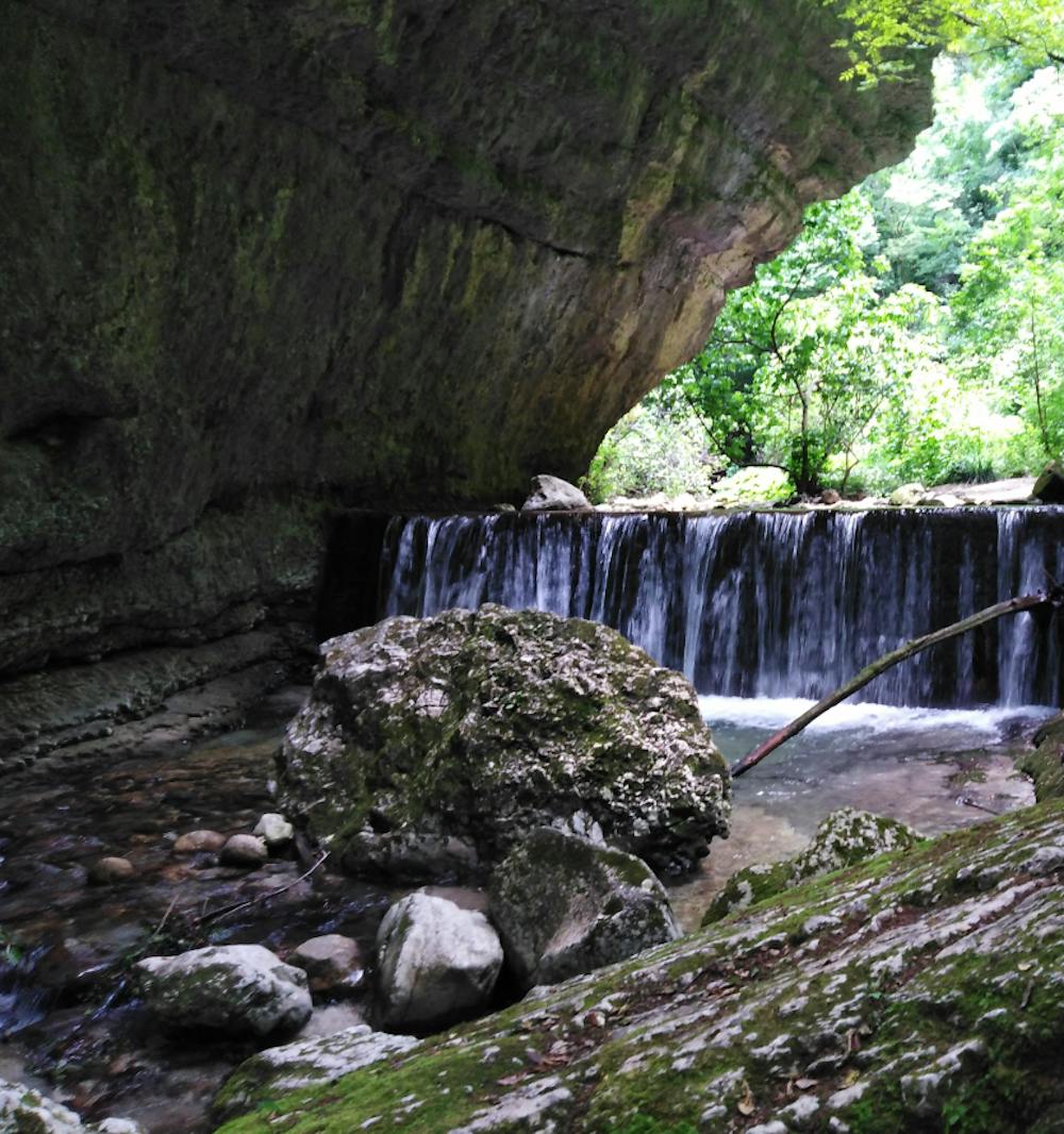
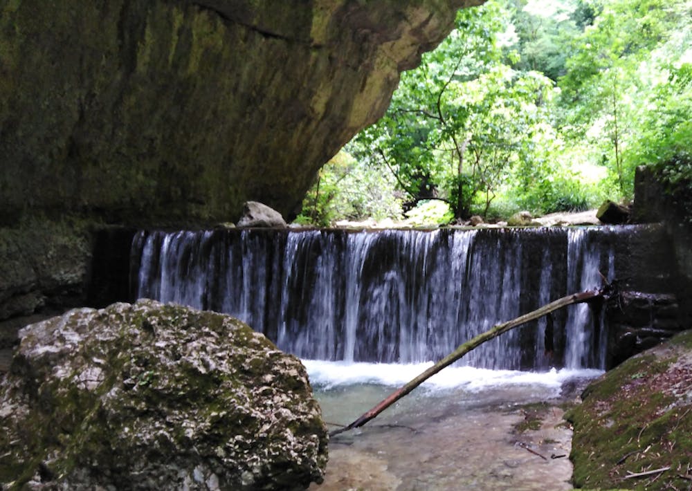
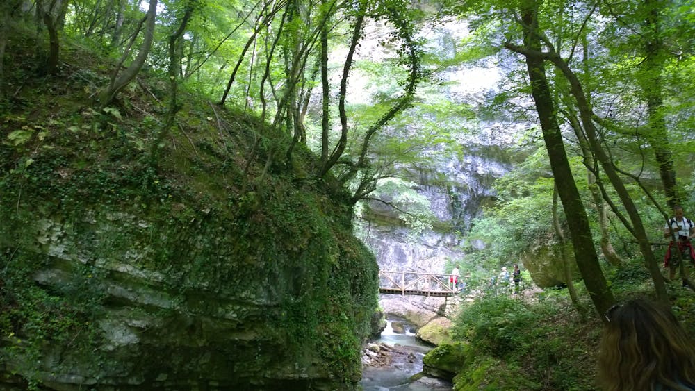
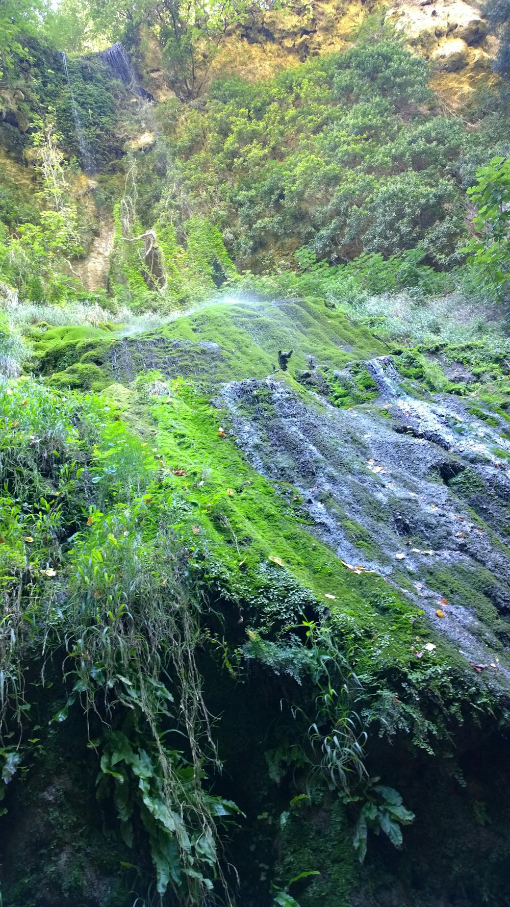
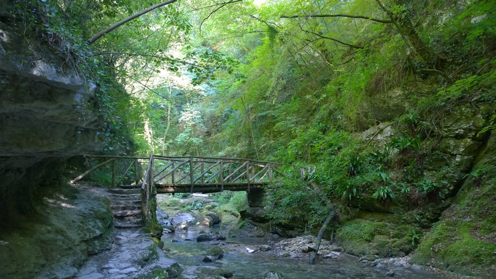
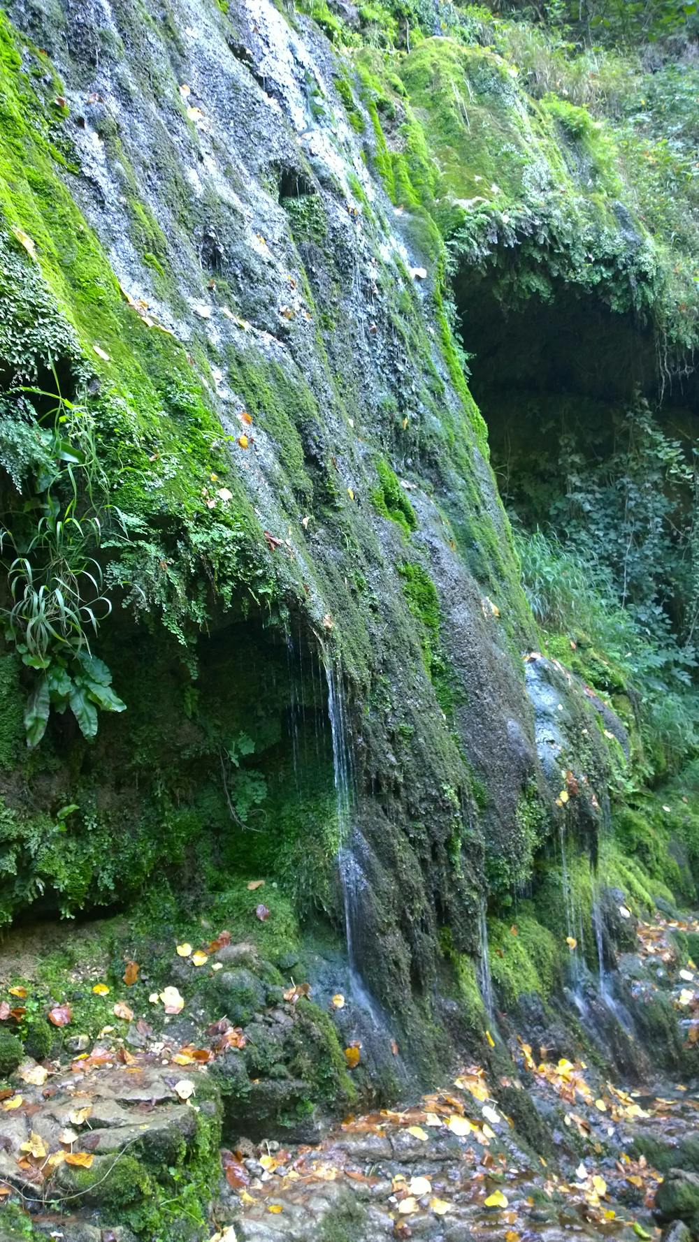
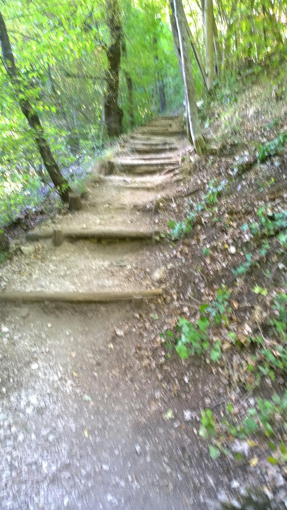
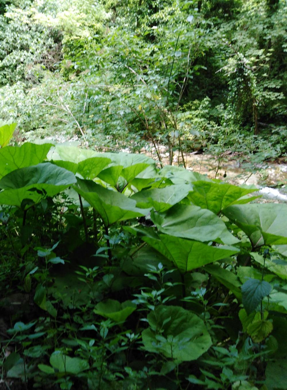
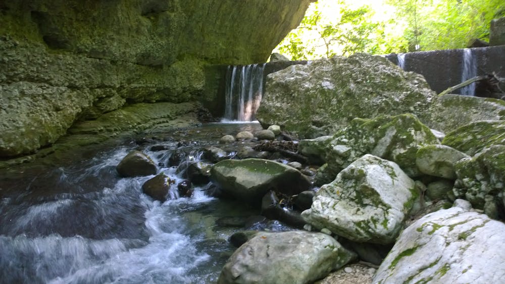
The Scalelle, the lower Orfento Valley, is a very popular route that runs along a wonderful stretch of river with luxuriant vegetation.

- •
- •
- •
- •
- •
- •
- •
- •
- •
- •
- •
- •
- •
- •
- •
- •
- •
Description
Here we can find beautiful sceneries drawn by the river.
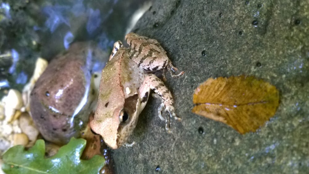
The Orfento Valley is a nature reserve with a rich biodiversity heritage.
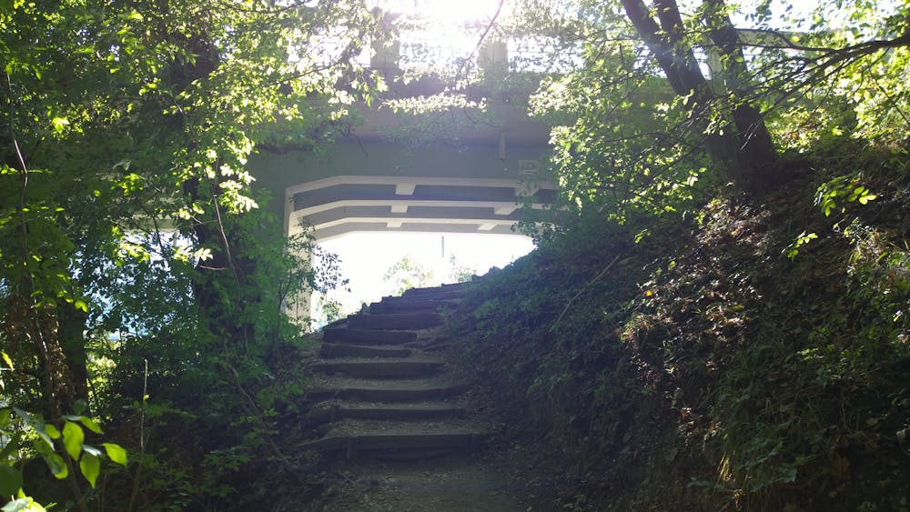
The route is simple and equipped with wooden bridges and fences.
This allows you to do the route even with the family and enjoy the view of this wonderful and deep gorge carved by the river over millions of years.
PLACE OF DEPARTURE: C.da S. Croce di Caramanico Terme
TYPE OF ITINERARY: Ring DIFFICULTY: E- HIKERS | EASY DIFFERENCE IN HEIGHT: 90 meters DESCENT IN HEIGHT: 120 meters TRAVEL TIME: 1 hour and 30 minutes RECOMMENDED PERIOD: All year round excluding periods of heavy snow
SOURCES AND FOUNTAINS: None SIGNAGE: In wood from the Reserve. White and red signs of the Park
The visit can be carried out alone (Covid Procedure - Mandatory registration at the visitor center at the beginning of the tour) or with the assistance of expert local guides.
The ring is one-way.
Difficulty
Easy
Walking along a well-kept trail that’s mostly flat. No obstacles are present.
Low Exposure

The path is on completely flat land and potential injury is limited to falling over.
Remoteness
Close to help in case of emergency.
Best time to visit
Features
- Wildlife
- Picturesque
- Wild flowers
- Water features
- Family friendly
- Forestry or heavy vegetation