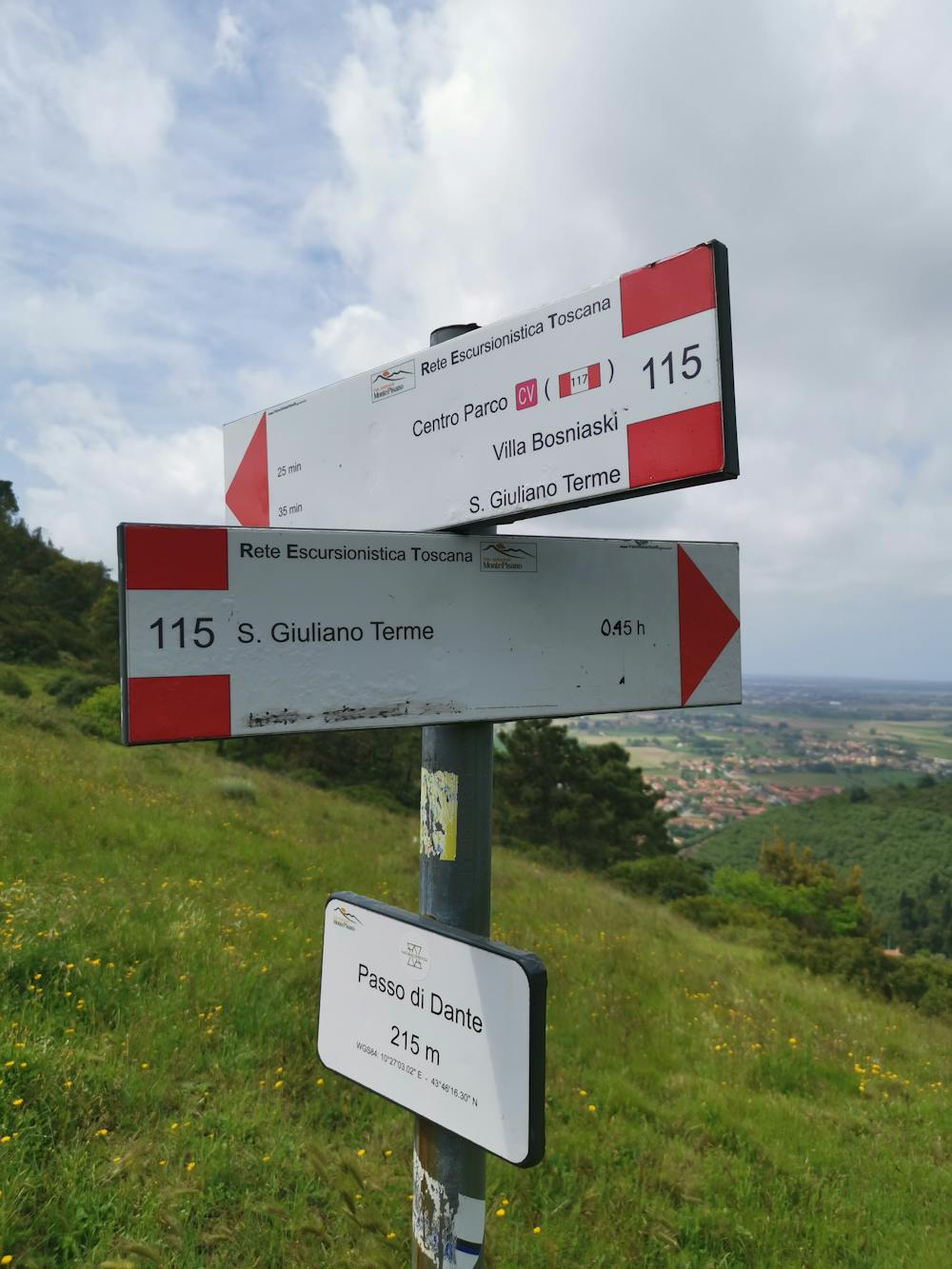
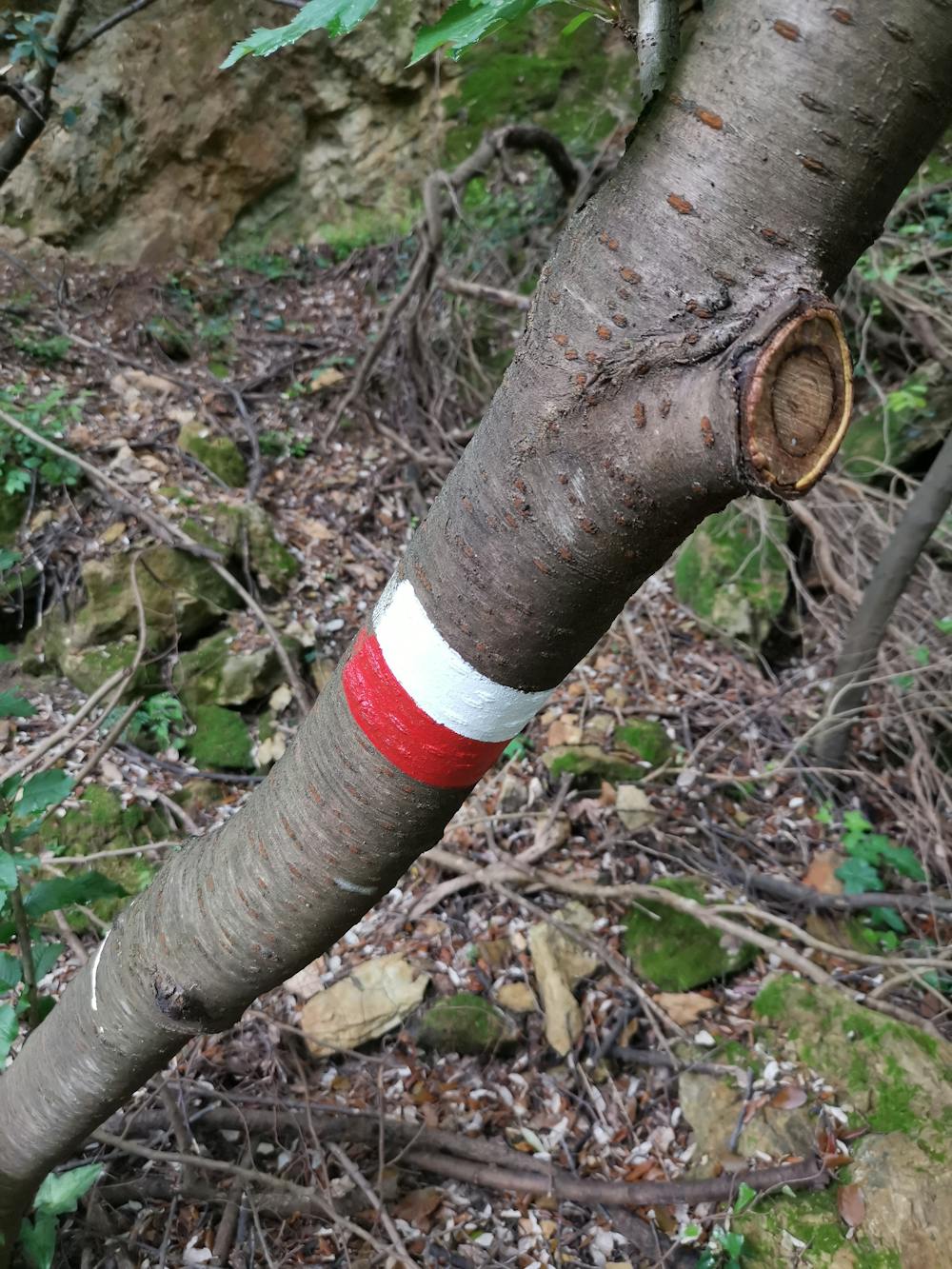
Anello di San Giuliano Terme, variante passando da Monte Michelle e Nicole.
Panoramico giro del Sentiero 115 CAI con una modifica al tragitto.
Hiking Moderate
- Distance
- 5.3 km
- Ascent
- 303 m
- Descent
- 303 m
- Duration
- 1-2 hrs
- Low Point
- 2 m
- High Point
- 267 m
- Gradient
- 11˚

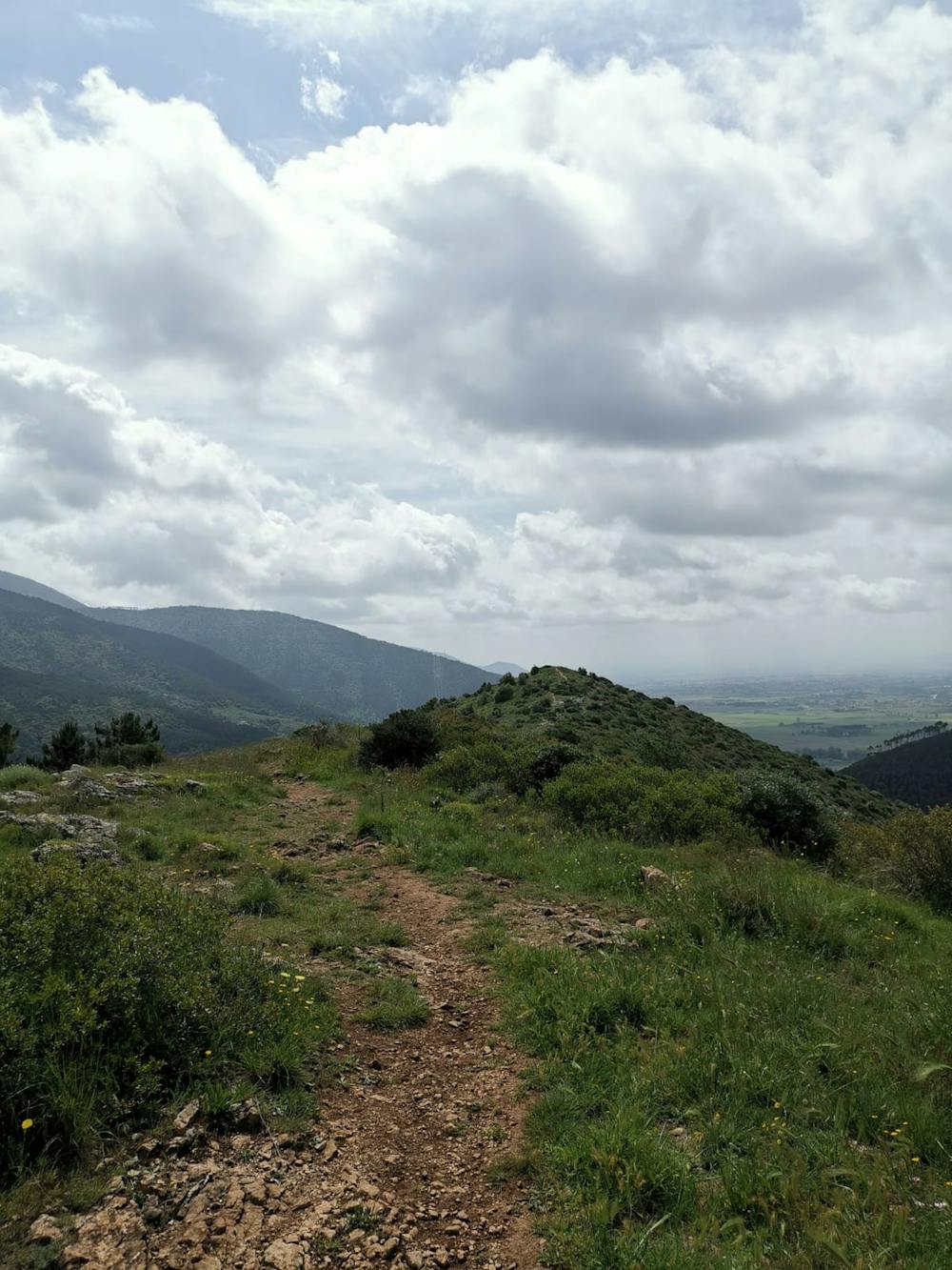
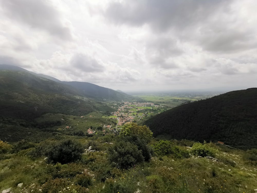
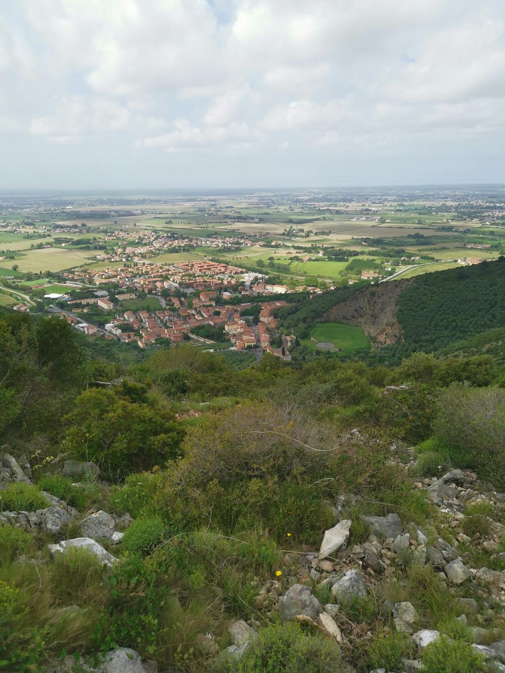
This is a popular hiking route which is generally considered to be moderate. It's not remote, it features medium exposure and is typically done between April and September. From a low point of 2 m to the maximum altitude of 267 m, the route covers 5.3 km, 303 vertical metres of ascent and 303 vertical metres of descent.

- •
- •
- •
- •
- •
- •
- •
- •
- •
- •
Description
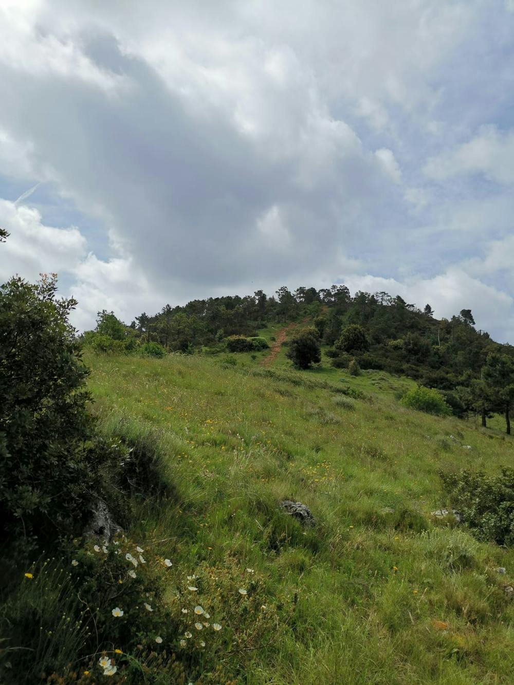
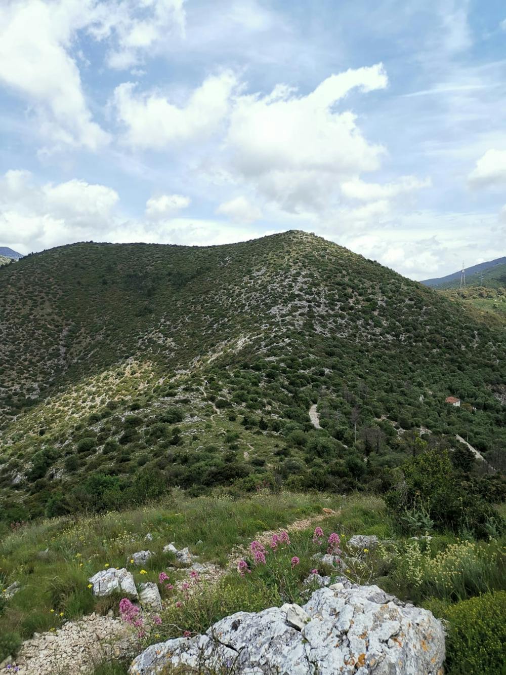
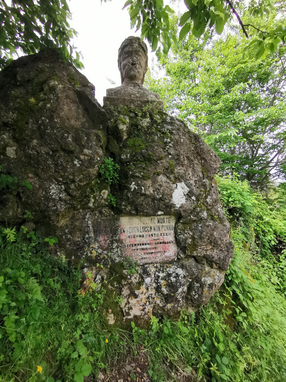
Variante del Sentiero 115 per visitare le vette del Michelle e Nicole (detta anche Torretta).
Difficulty
Moderate
Hiking along trails with some uneven terrain and small hills. Small rocks and roots may be present.
Medium Exposure

The trail contains some obstacles such as outcroppings and rock which could cause injury.
Remoteness

Close to help in case of emergency.
Best time to visit
Features
- Wildlife
- Dog friendly
- Wild flowers