Anello di Vecchiano - Sentiero 103 CAI
Giro segnalato facile di gran parte dei monti sopra Vecchiano.
Hiking Moderate
- Distance
- 7.8 km
- Ascent
- 311 m
- Descent
- 312 m
- Duration
- 2-3 hrs
- Low Point
- 2 m
- High Point
- 172 m
- Gradient
- 7˚

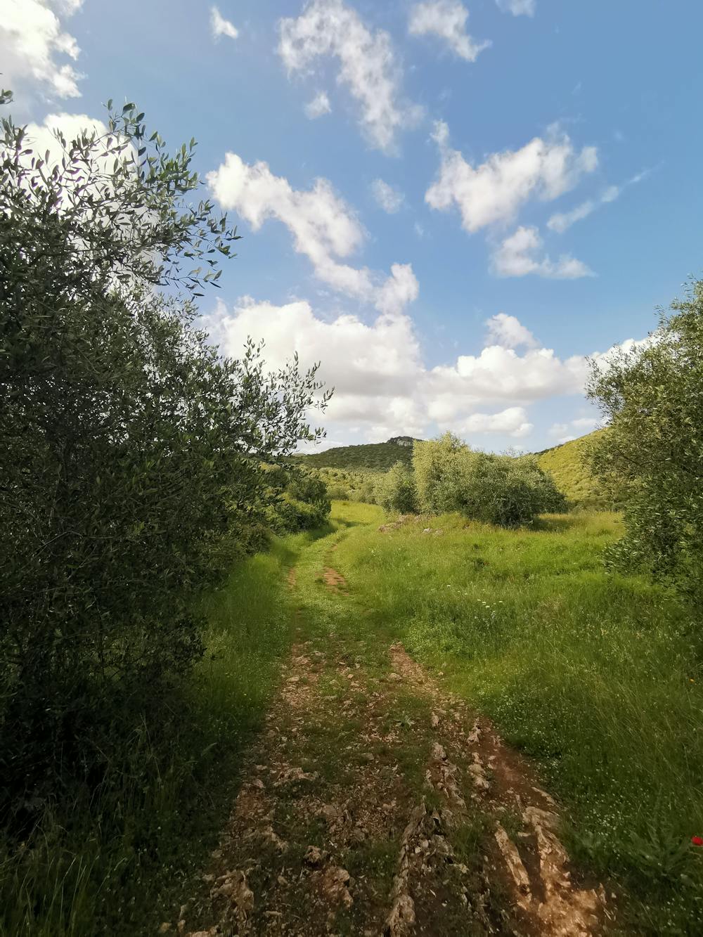
This is a popular hiking route which is generally considered to be moderate. It's not remote, it features medium exposure and is typically done between April and September. From a low point of 2 m to the maximum altitude of 172 m, the route covers 7.8 km, 311 vertical metres of ascent and 312 vertical metres of descent.
- •
- •
- •
- •
- •
Description
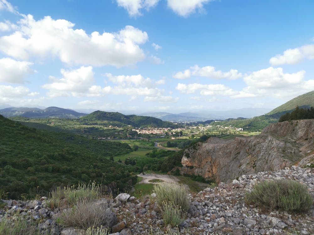
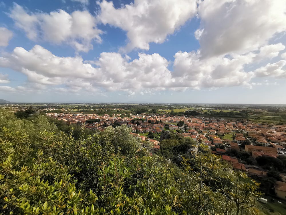
Punti panoramici con vista fino al Mar Tirreno, Livorno, Lago di Massaciuccoli e nelle giornate serene fino all'Isola del Tino di La Spezia. Si vedono anche la Torre di Pisa e le colline sopra Fauglia.
Difficulty
Moderate
Hiking along trails with some uneven terrain and small hills. Small rocks and roots may be present.
Medium Exposure

The trail contains some obstacles such as outcroppings and rock which could cause injury.
Remoteness

Close to help in case of emergency.
Best time to visit
Features
- Dog friendly
- Wild flowers
- Family friendly