Sant'Elia to Tracciolino
Easy and short adventure with a great view on the sea.
Hiking Easy
- Distance
- 9.9 km
- Ascent
- 390 m
- Descent
- 428 m
- Duration
- 2-3 hrs
- Low Point
- 304 m
- High Point
- 572 m
- Gradient
- 15˚

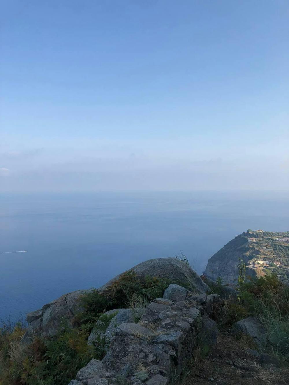
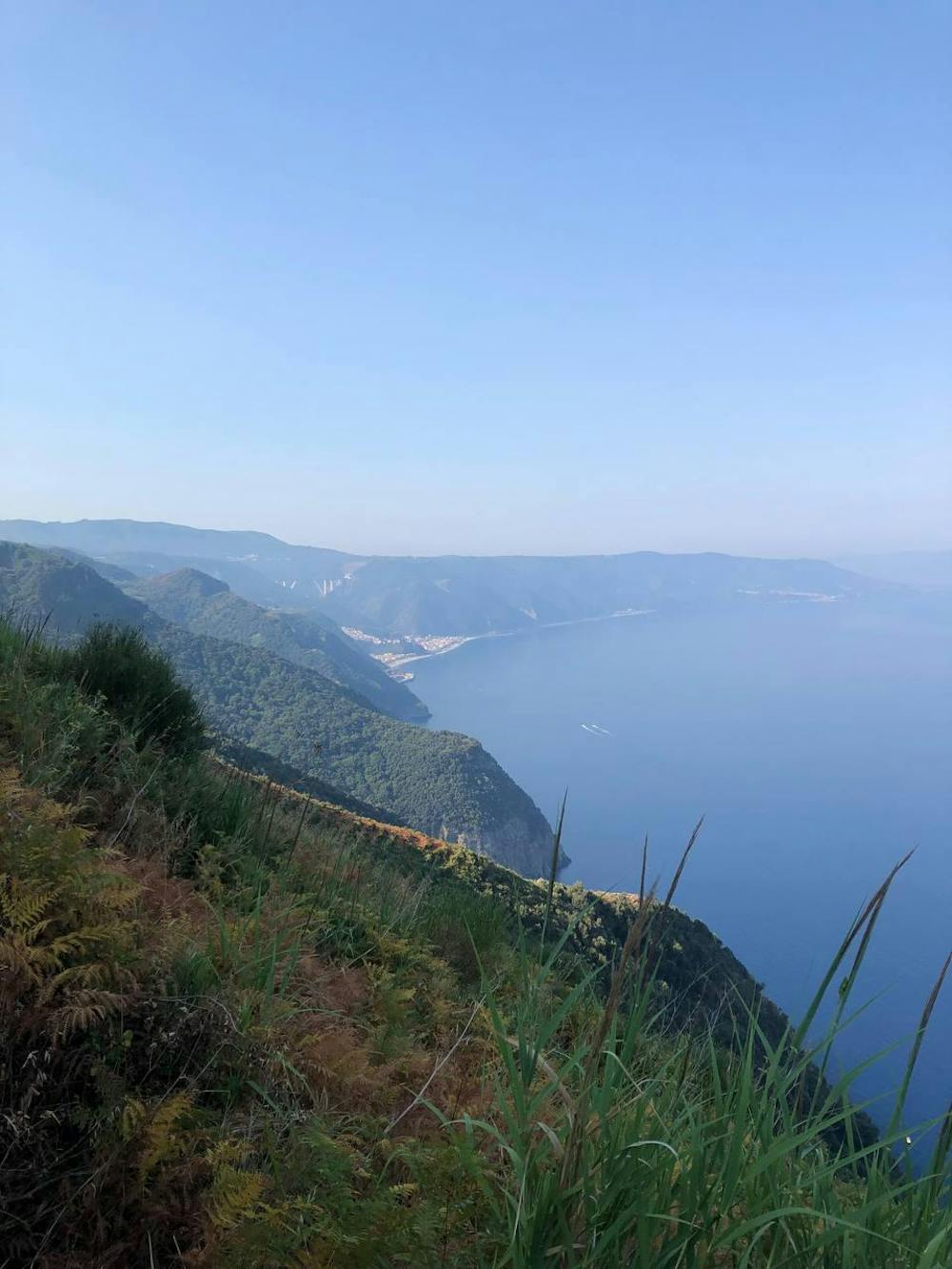
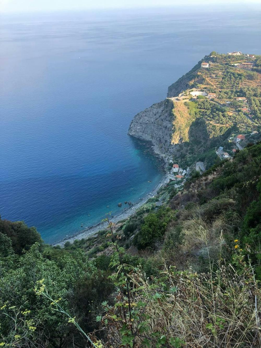
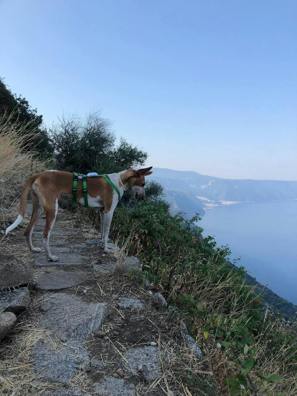
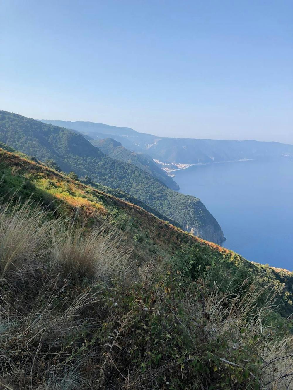
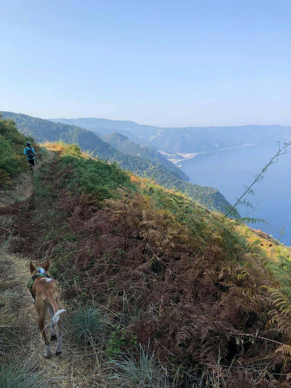
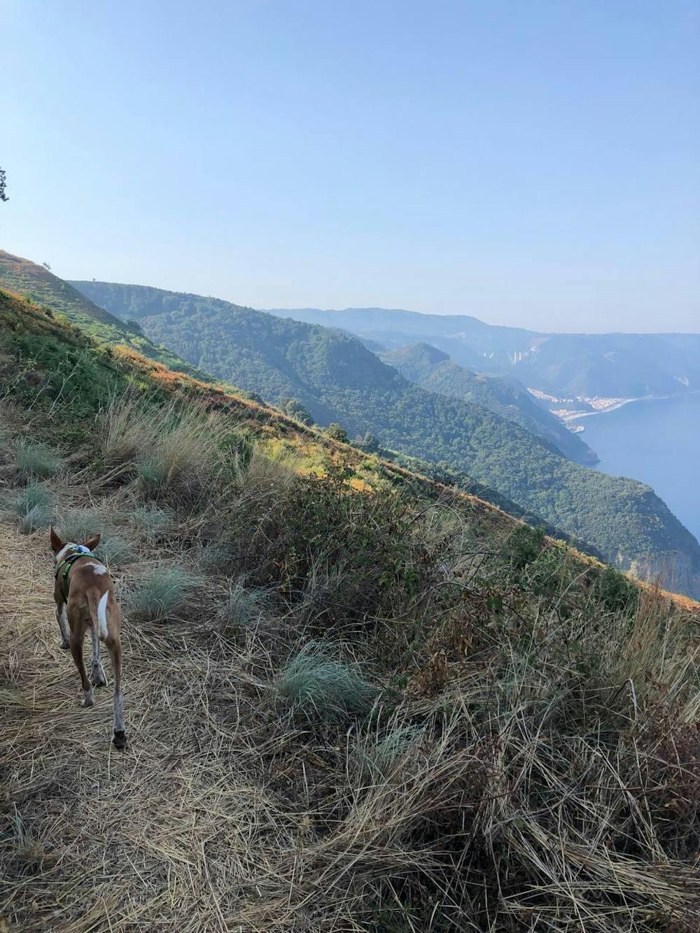
The hike is picturesque, nice view on Sicily and on the sea.

- •
- •
- •
- •
- •
- •
- •
- •
- •
Description
You can reach Sant'Elia by car then the start of the hike it's on the right of the three white and giant crosses you see at the top of the balcony.
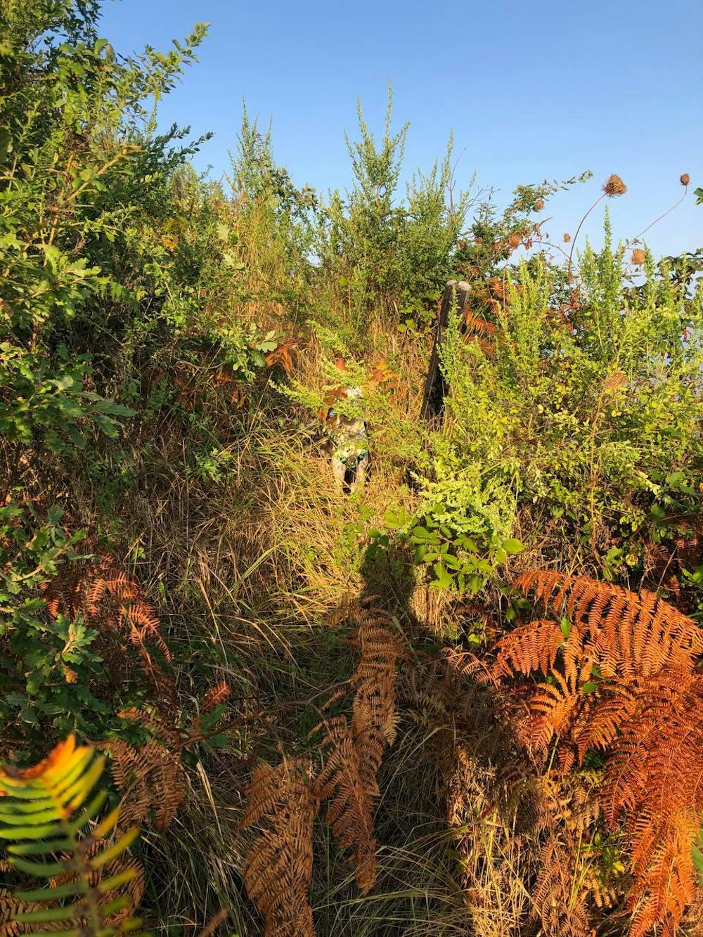
After the first descent in the woods, super wild and steep, (so get your trekking shoes with you) the path became quite flat and easy to follow. At some point you'll have to cross a short bridge called the "Devil's Bridge" it's quite narrow but it's solid, there is also the chance to walk around it.
Difficulty
Easy
Walking along a well-kept trail that’s mostly flat. No obstacles are present.
Medium Exposure

The trail contains some obstacles such as outcroppings and rock which could cause injury.
Remoteness

Close to help in case of emergency.
Best time to visit
Features
- Picturesque
- Dog friendly
- Wild flowers
- Forestry or heavy vegetation