Via Normale al Terminillo - Cresta Sassetelli
Anello: Rifugio Sebastiani-Vetta del Terminillo-Cresta Sassetelli-Rifugio Sebastiani
Hiking Moderate
- Distance
- 7 km
- Ascent
- 553 m
- Descent
- 459 m
- Duration
- 2-3 hrs
- Low Point
- 1.8 km
- High Point
- 2.2 km
- Gradient
- 16˚

This is a popular hiking route which is generally considered to be moderate. It's remote, it features medium exposure and is typically done between May and October. From a low point of 1.8 km to the maximum altitude of 2.2 km, the route covers 7 km, 553 vertical metres of ascent and 459 vertical metres of descent.
Description
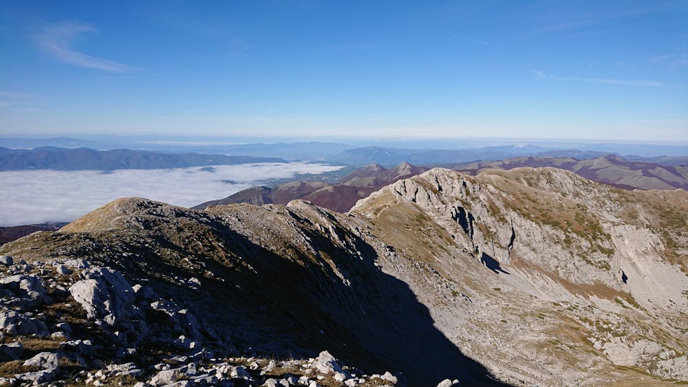
Salita tradizionale alla vetta est del Terminillo, a 2216 m.s.l.m. lungo il sentiero 401. Dalla vetta si prosegue poi sulle creste arrivando alla Cresta Sassetelli. Da qui si comincia a scendere per chiudere l'anello ritornando al punto di partenza: il Rifugio Angelo Sebastiani.
Difficulty
Moderate
Hiking along trails with some uneven terrain and small hills. Small rocks and roots may be present.
Medium Exposure

The trail contains some obstacles such as outcroppings and rock which could cause injury.
Remoteness
Away from help but easily accessed.
Best time to visit
Features
- Picturesque
- Family friendly