Anello Monte Altuino
Strada sterrata-cementata che fa il giro del monte altuinio.
Mountain Biking Moderate
- Distance
- 12 km
- Ascent
- 338 m
- Descent
- 338 m
- Duration
- 1-2 hrs
- Low Point
- 810 m
- High Point
- 1.1 km
- Gradient
- 7˚

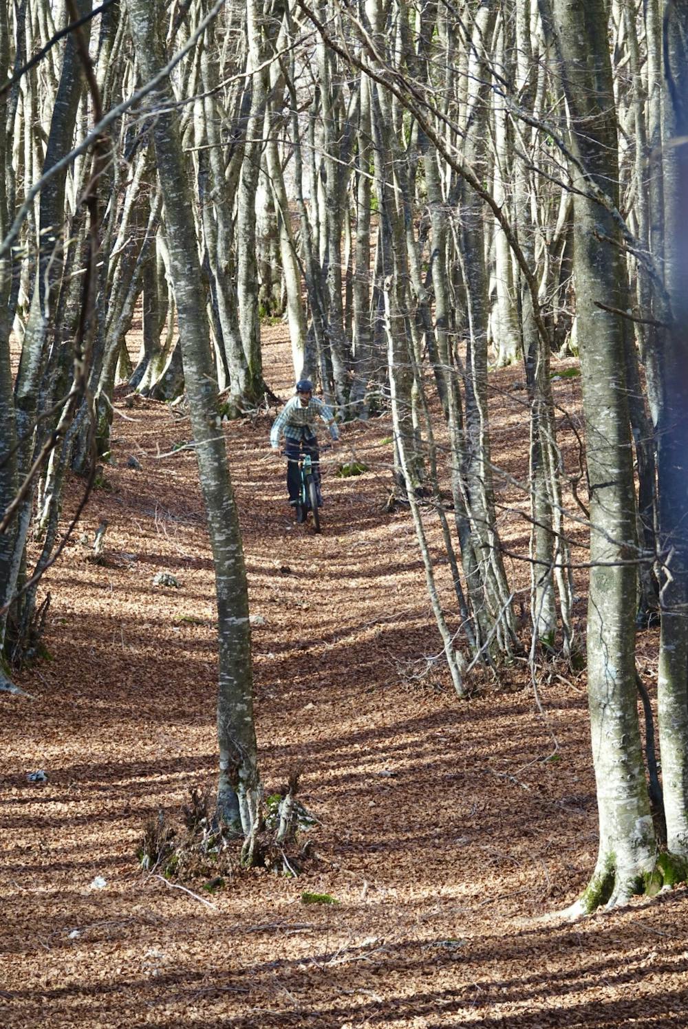
Un pò distante da Serrone ma inserito nell enduro park perché ottimo da utilizzare come loop da aggiungere ai trail che passano agli altipiani di Arcinazzo. Strada sterrata-cementata che fa il giro del monte altuinio. Se fatto in senso orario bellissima la lunga discesa sterrata, non proprio banale se fatta in velocità.
Difficulty
Moderate
Mostly stable trail tread with some variability, with unavoidable obstacles 8in/20cm tall or less. Other obstacles such as rock gullies and steep sections may exist. Ideal for lower intermediate riders.
Low Exposure

The path is on completely flat land and potential injury is limited to falling over.
Remoteness

Away from help but easily accessed.
Best time to visit
Features
- In the forest