
4 routes · Hiking
A thrilling hike, starting in Bomerano and climbing to the summit of Tre Calli, with wonderful views throughout.
Hiking Moderate

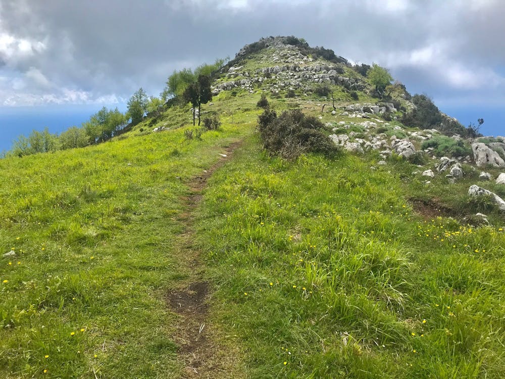
Mount Tre Calli stands at an intimidating 1,122 metres above sea level, but as the hike begins from the mountain village of Bomerano, only 500 metres of ascent are required to reach the top.
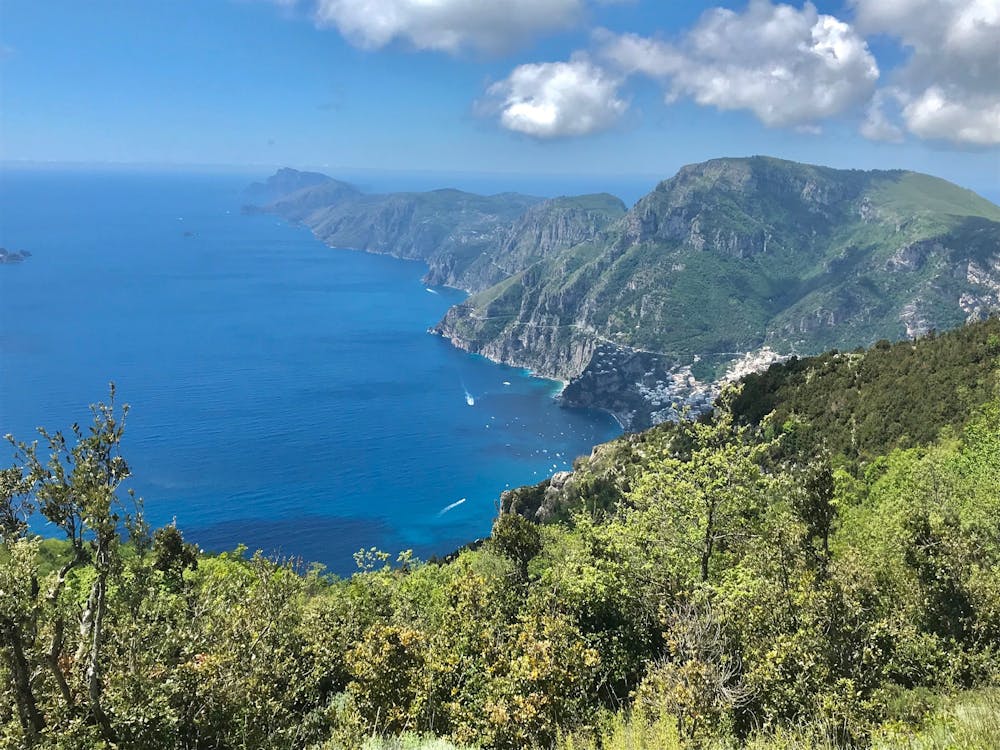

This walk saves its biggest surprise until your final steps; not until the summit do you finally earn that jaw-dropping 360° panoramic view. Every point of the compass reveals something new. Looking west are the colourful buildings of Positano which cascade, almost vertically, up the mountain slopes behind them. Turn around and you’ll see the red tiled houses of Agerola - a quintessentially Italian scene – as the settlement sprawls across its plateau, enclosed by an amphitheatre of mountains.
To the south, the Tyrrhenian Sea melts into the sky, spanning from one horizon to the other. Like a long finger, the peninsular of Sorrento juts into this vast sea, seeming to point at the Isle of Capri which lies just beyond its reach. Turn around, and to the north you’ll see the hulking mass of larger mountains in the Mount Lattari Chain; even from your high altitude these monsters still appear to tower above.
Moderate
Hiking along trails with some uneven terrain and small hills. Small rocks and roots may be present.

The trail contains some obstacles such as outcroppings and rock which could cause injury.
Away from help but easily accessed.
4 routes · Hiking