Castell'ermo Trail
Colletta
An stunning route. An adventure that offers varied and technical running as well as an epic view. READ DESCRIPTION FOR SAFETY GUIDANCE!
Trail Running Difficult
- Distance
- 13 km
- Ascent
- 1 km
- Descent
- 1 km
- Duration
- 2-3 hrs
- Low Point
- 193 m
- High Point
- 1.1 km
- Gradient
- 26˚


- •
- •
- •
- •
Description
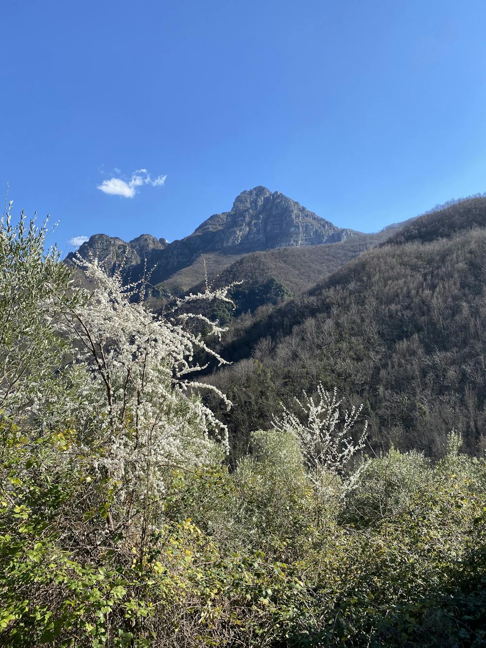
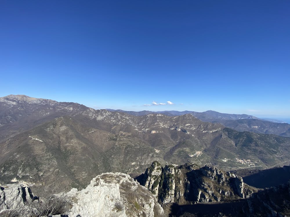
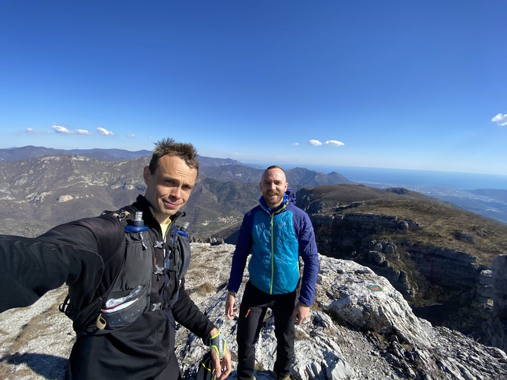
Exceptional view: from the top you will see the ocean, Monesi mountain, the valley of Pennavaire, the valley of Arroscia, and more.
Ascent: Feels shorter than it looks from the bottom. The trail can be hard to read on especially on one occasion (after approximately 1-2km) where a lot of fallen trees have covered it. But make sure to always stay to the left of the river and you will find it.
Close to the top, the trail becomes practically nonexistent at the gravel part. Don't go down into the ravine on the right, find your own safe way up and you will reach the trail in the narrow pass. From there, keep going straight until you reach the crest trail.
Descent: At first you're on a dirt road that allows for some fast downhill running, then comes a beautiful and technical part in the forest. Not too steep. Look out for where the trail takes off from the dirt road, easy to miss when you go fast!
The last part from Nasino to Colletta is relatively easy and flat.
Difficulty
Difficult
High Exposure

Some trail sections have exposed ledges or steep ascents/descents where falling could cause serious injury.
Remoteness
Little chance of being seen or helped in case of an accident.