4 routes · Hiking
Hike the Via Francigena along the legendary "strade bianche" in beautiful Tuscany.
Hiking Moderate

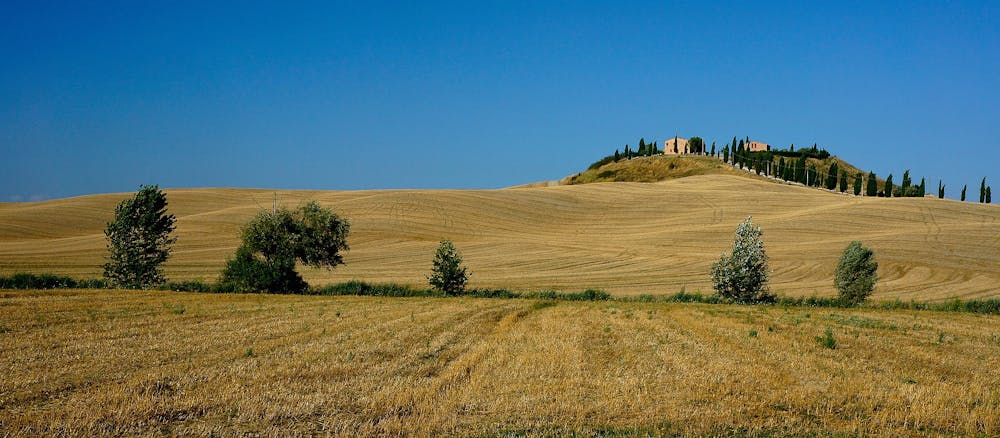
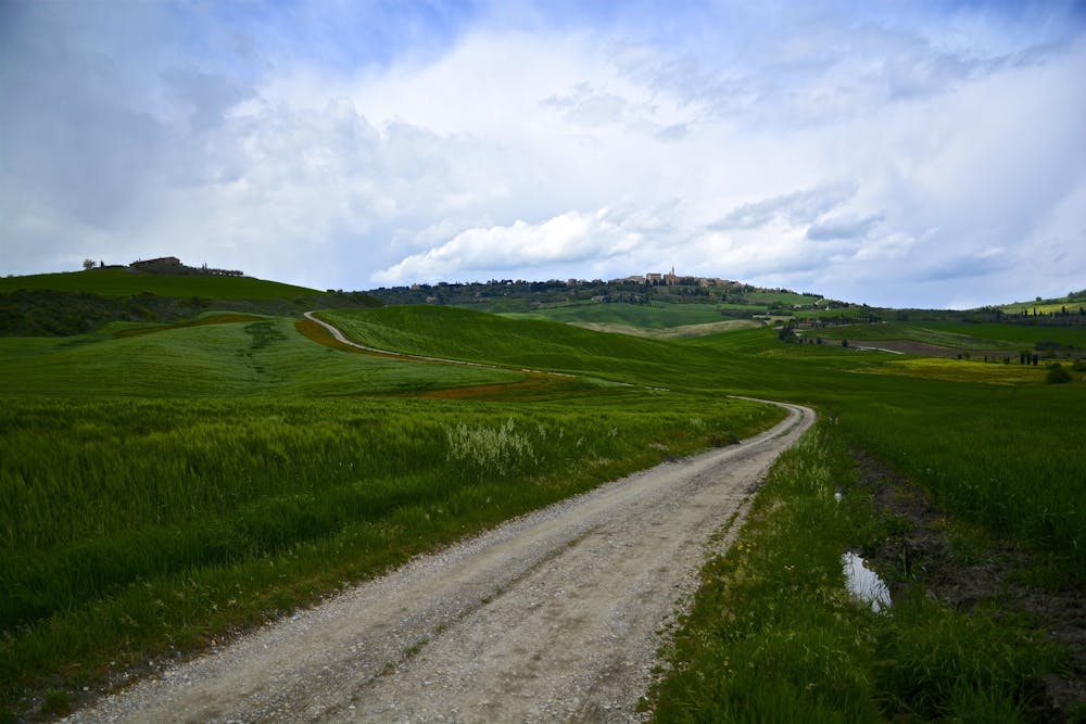
Leaving Siena, head along the legendary “strade bianche” (white roads) through the dusty lunar landscapes of the Crete Senesi. The landscape shifts to the classic rolling hills laced with Tuscan vineyards of the Val d'Arbia region. On your way, you will come across La Grancia di Cuna, a historic old walled barn. You will also pass through several small villages, including Isola d'Arbia, Grancia di Cuna, and Serravalle, before reaching Buonconvento, a very charming town and the gateway of the famous Val d’Orcia region.
Make sure to fuel up along the way on the local dishes Pici and Panforte, and treat yourself at the end with a glass of crisp Val d'Arbia DOC.
Sources
https://www.viefrancigene.org/en/resource/statictrack/tappa-34-da-siena-ponte-darbia/
Moderate
Hiking along trails with some uneven terrain and small hills. Small rocks and roots may be present.

The path is on completely flat land and potential injury is limited to falling over.
Close to help in case of emergency.
4 routes · Hiking