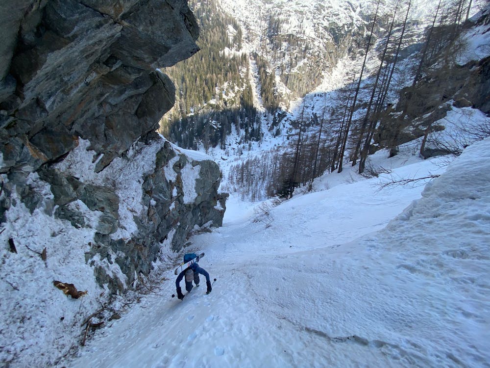
Canale della pensilina alla Remoluzza - Bus shelter couloir at Remoluzza
Valtellina
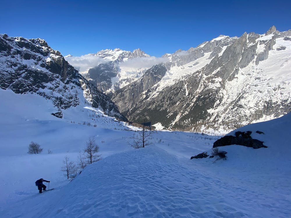
Freeriding amongst the granite giants of the Masino Valley
Freeride Skiing Difficult
- Distance
- 19 km
- Ascent
- 1.6 km
- Descent
- 1.6 km
- Low Point
- 918 m
- High Point
- 2.4 km
- Gradient
- 33˚

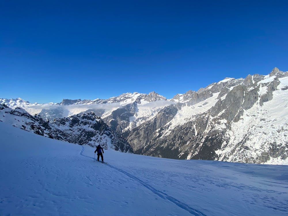
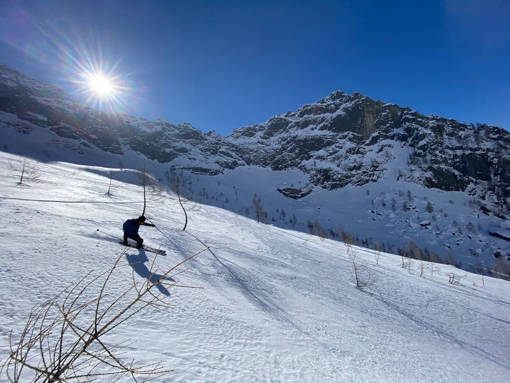
This is a popular freeride skiing route which is generally considered to be difficult. It's remote, it features medium exposure (e2) and is typically done between February and March. From a low point of 918 m to the maximum altitude of 2.4 km, the route covers 19 km, 1618 vertical metres of ascent and 1618 vertical metres of descent. It's graded 3.3 and Labande grade 4. You'll need skins and crampons to complete it safely.
- •
- •
- •
- •
- •
Description
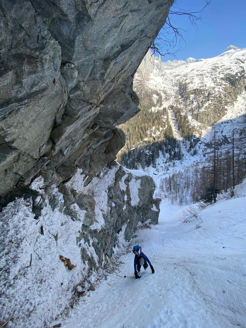
My friend and Alpine Guide Paolo and I wanted to find some skiable snow despites the conditions in the area and we found it in an unique and hidden corner of paradise at the end of the well known Val di Mello
Difficulty
Difficult
Serious gradient of 30-38 degrees where a real risk of slipping exists.
Medium Exposure (E2)

As well as the slope itself, there are some obstacles (such as rock outcrops) which could aggravate injury.
Remoteness
Away from help but easily accessed.
Best time to visit
Features
- Face
- Couloir
- Walk Required
Equipment required
- Skins
- Crampons