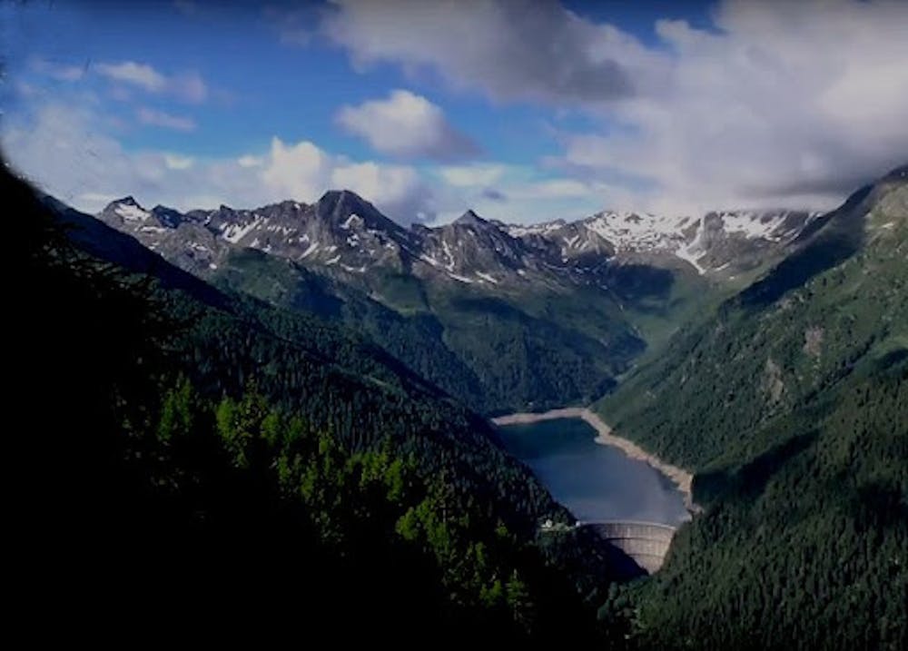
Anello della Val Belviso
Ponte Frera, malga Demignone, rifugio Tagliaferri, malga Pila, Laghi di Torena, Ponte Frera
Hiking Moderate
- Distance
- 23 km
- Ascent
- 1.3 km
- Descent
- 1.3 km
- Duration
- 7-8 hrs
- Low Point
- 1.4 km
- High Point
- 2.3 km
- Gradient
- 15˚

This is a popular hiking route which is generally considered to be moderate. It's very remote, it features low exposure and is typically done between June and November. From a low point of 1.4 km to the maximum altitude of 2.3 km, the route covers 23 km, 1341 vertical metres of ascent and 1343 vertical metres of descent.
Description
Anello della Val Belviso, traccia sempre presente, sentiero ben segnalato
Difficulty
Moderate
Hiking along trails with some uneven terrain and small hills. Small rocks and roots may be present.
Low Exposure

The path is on completely flat land and potential injury is limited to falling over.
Remoteness

Little chance of being seen or helped in case of an accident.
Best time to visit
Features
- Alpine
- Wildlife
- Picturesque
- Dog friendly
- Wild flowers
- Water features
- Forestry or heavy vegetation