Lago Mufulèe
Nice lake near Campo Moro
Hiking Easy
- Distance
- 6.6 km
- Ascent
- 366 m
- Descent
- 366 m
- Duration
- 2-3 hrs
- Low Point
- 1.8 km
- High Point
- 2.1 km
- Gradient
- 11˚
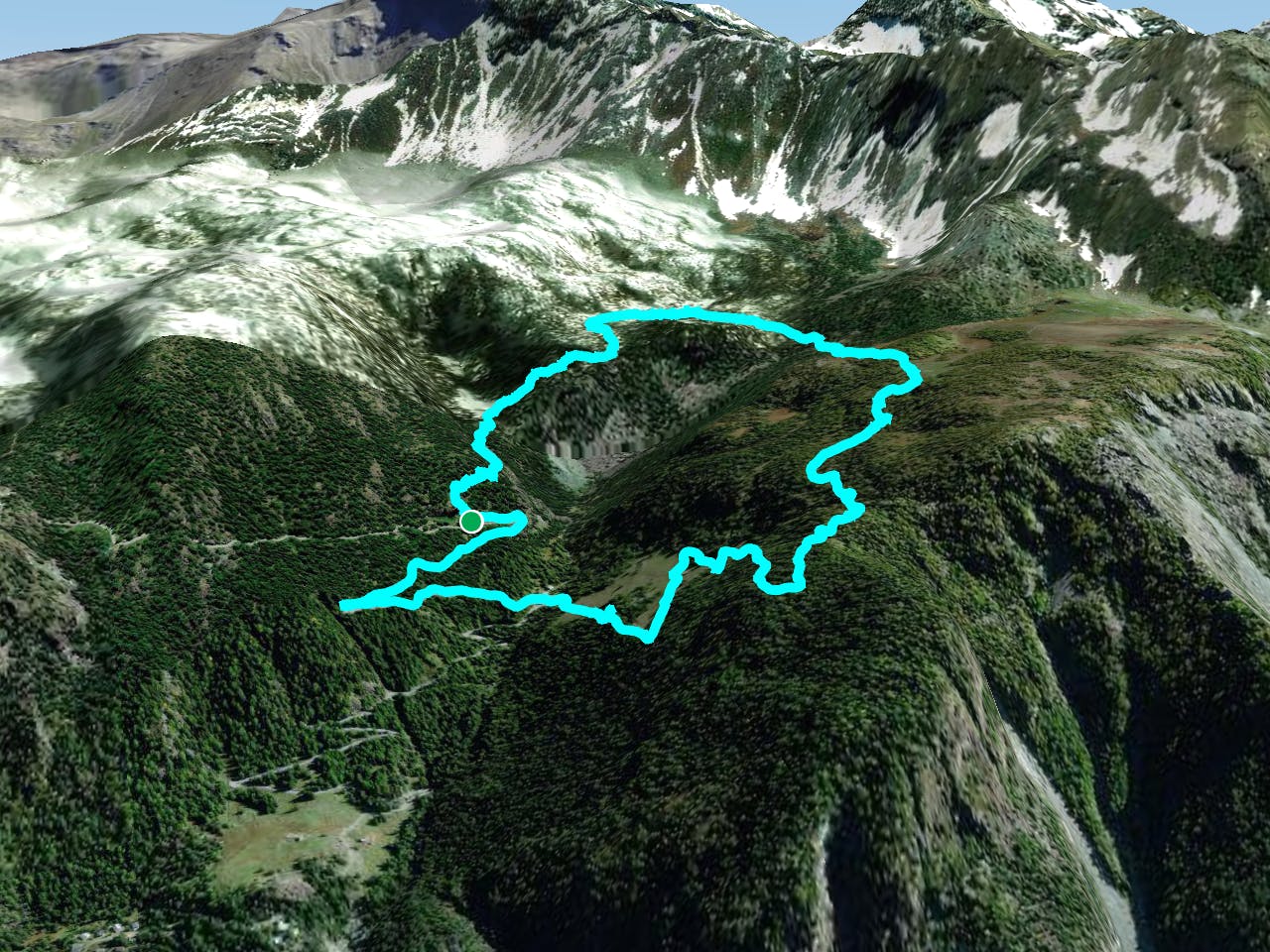
This is a popular hiking route which is generally considered to be easy. It's remote, it features low exposure and is typically done between May and November. From a low point of 1.8 km to the maximum altitude of 2.1 km, the route covers 6.6 km, 366 vertical metres of ascent and 366 vertical metres of descent.
Description
Small lake in Lanzada
Difficulty
Easy
Walking along a well-kept trail that’s mostly flat. No obstacles are present.
Low Exposure

The path is on completely flat land and potential injury is limited to falling over.
Remoteness

Away from help but easily accessed.
Best time to visit
Features
- Alpine
- Wildlife
- Wild flowers
- Water features
- Family friendly
- Forestry or heavy vegetation