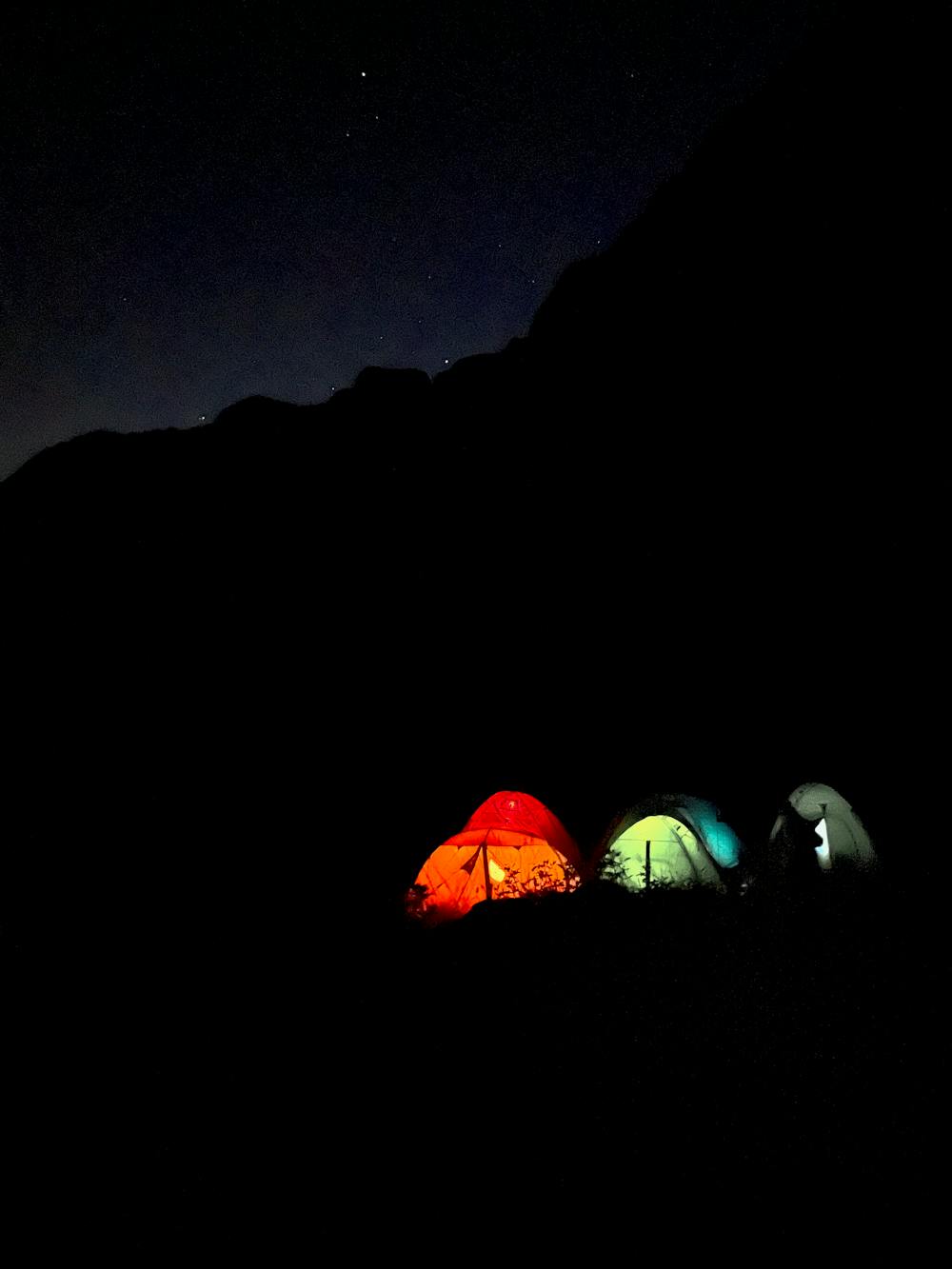
Route 2023
Wonderful route traveled in tents by the Cirri Magenta Clan during the summer of 2023.
Hiking Difficult
- Distance
- 23 km
- Ascent
- 2.4 km
- Descent
- 2.1 km
- Duration
- 1 day +
- Low Point
- 311 m
- High Point
- 2.5 km
- Gradient
- 27˚

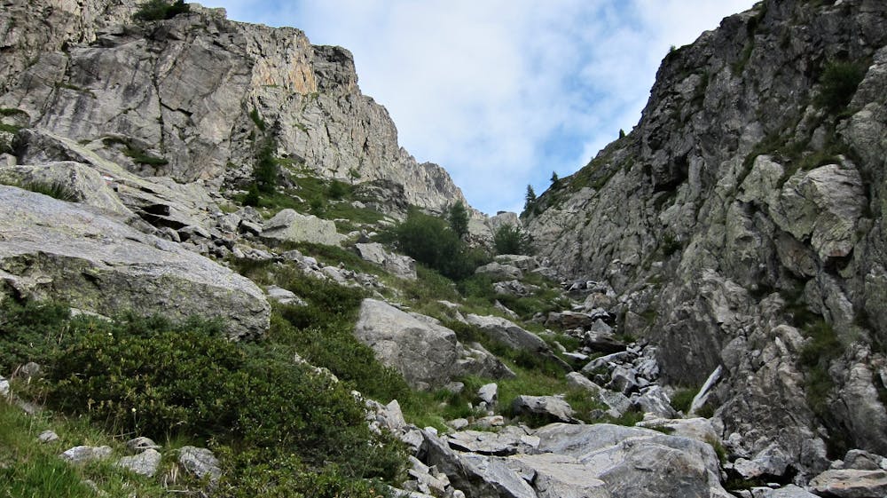
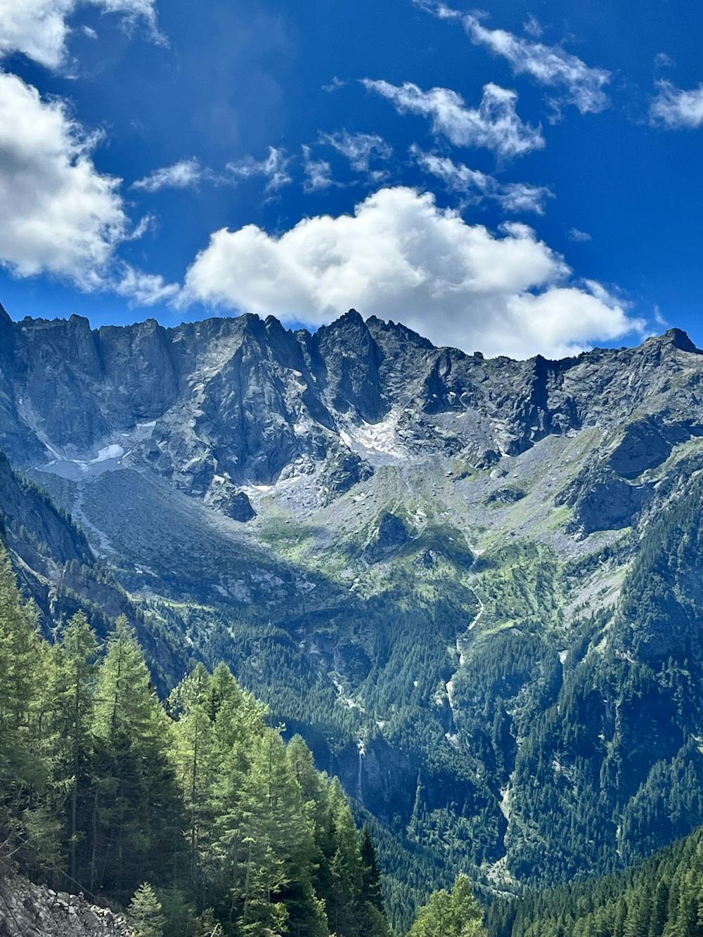
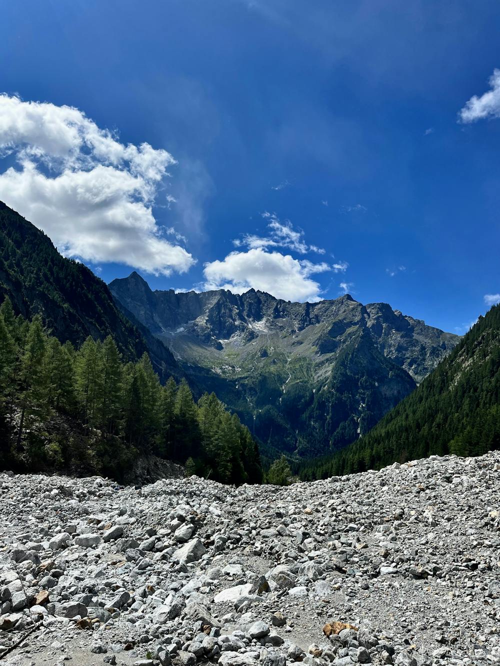
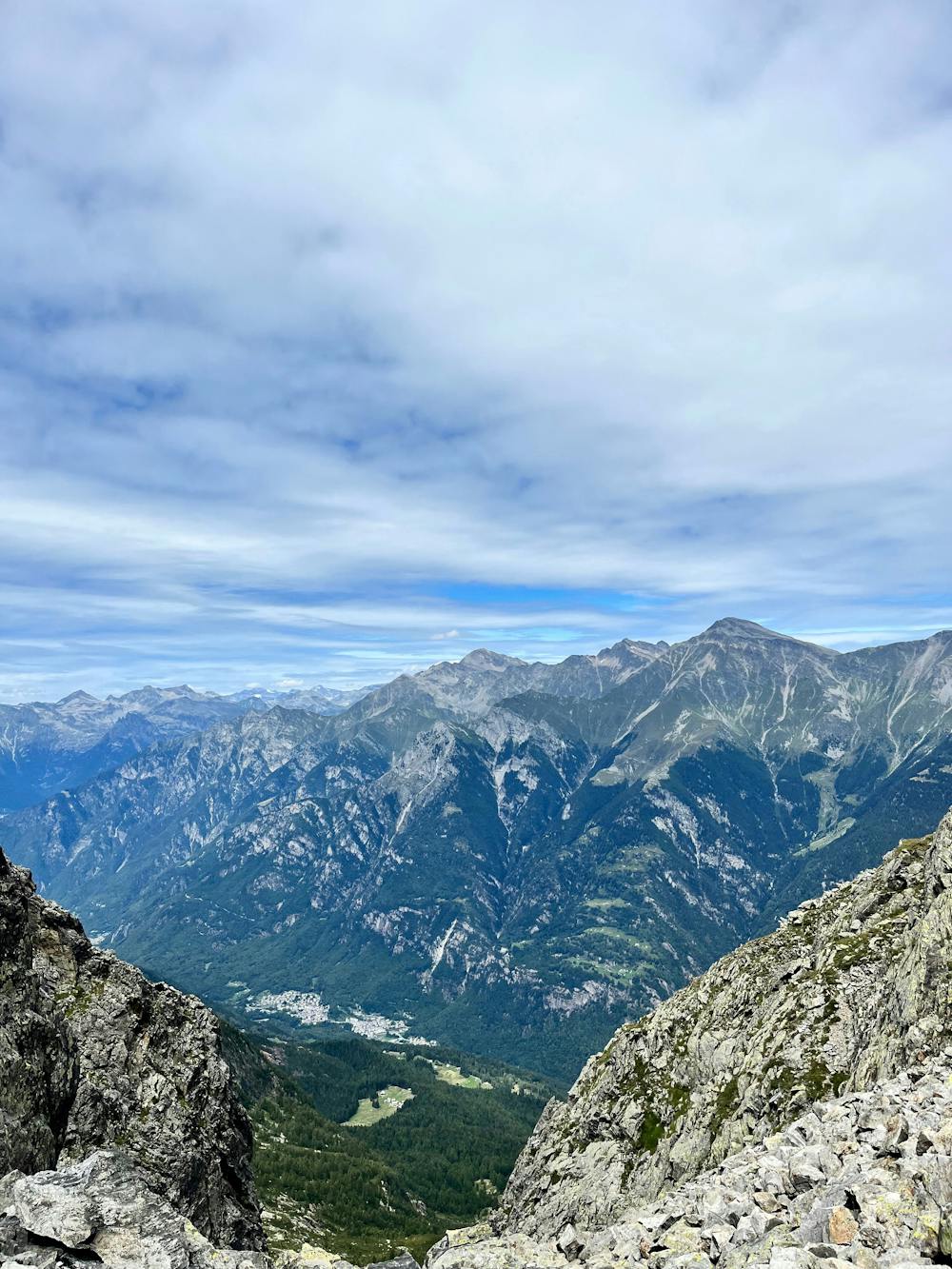
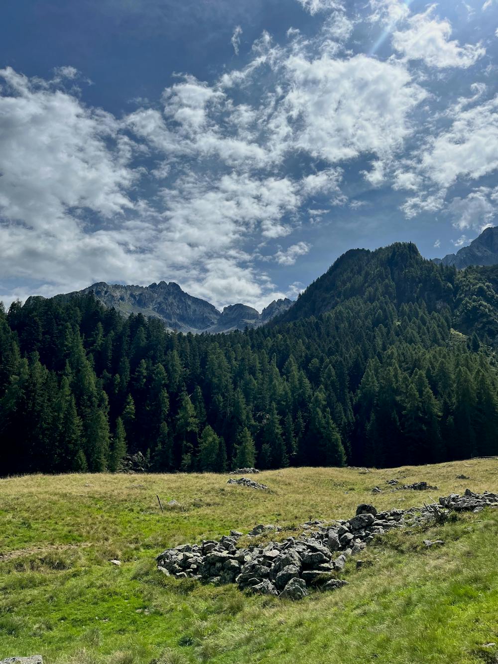
Wonderful route traveled in tents by the Cirri Magenta Clan during the summer of 2023. It is a route that touches on the history of the Aquile Randagie and the resistance during WW2. The route is remote and wild and runs along Val Codera and Valtellina, touching on unspoiled places with evocative charm. The route is rich in water sources-.
- •
- •
- •
- •
- •
- •
- •
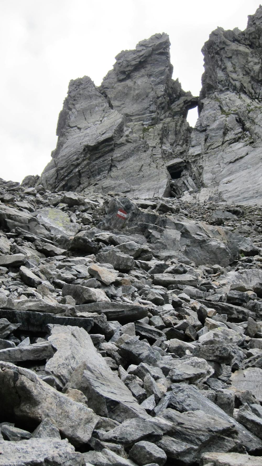
Difficulty
Difficult
Hiking trails where obstacles such as rocks or roots are prevalent. Some obstacles can require care to step over or around. At times, the trail can be worn and eroded. The grade of the trail is generally quite steep, and can often lead to strenuous hiking.
High Exposure

Some trail sections have exposed ledges or steep ascents/descents where falling could cause serious injury.
Remoteness

Away from help but easily accessed.
Best time to visit
Features
- Alpine
- Wildlife
- Picturesque