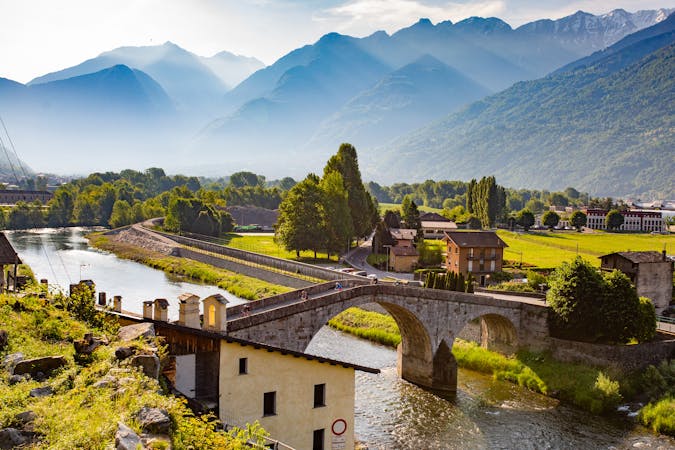
8 routes · Mountain Biking
Valtellina E-bike festival
Mountain Biking Moderate

This is a popular mountain biking route which is generally considered to be moderate. It's not remote, it features low exposure and is typically done between May and October. From a low point of 226 m to the maximum altitude of 890 m, the route covers 16 km, 706 vertical metres of ascent and 706 vertical metres of descent.
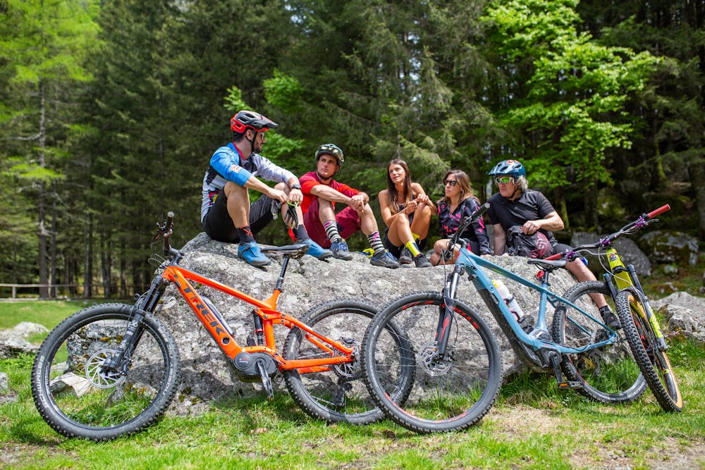

A medium difficulty tour to discover the Bitto di Albaredo Valley and via Priula, the ancient road of the San Marco Pass. A paved path built in the late 1500s to encourage trade between Venice and Switzerland.
Moderate
Mostly stable trail tread with some variability, with unavoidable obstacles 8in/20cm tall or less. Other obstacles such as rock gullies and steep sections may exist. Ideal for lower intermediate riders.

The path is on completely flat land and potential injury is limited to falling over.
Close to help in case of emergency.
8 routes · Mountain Biking