8 routes · Mountain Biking
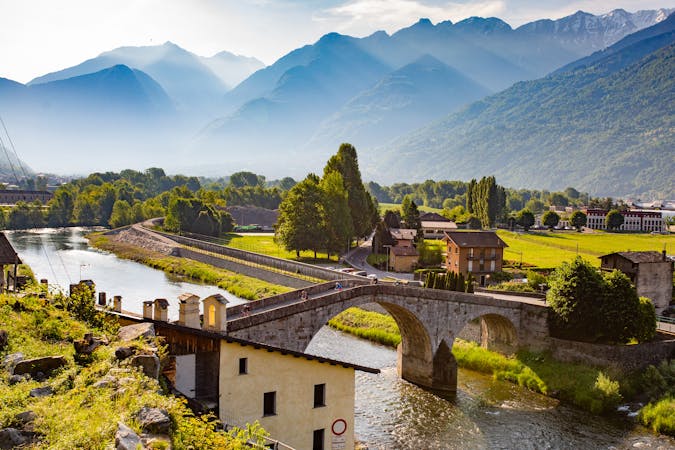
Valtellina E-bike Festival
Mountain Biking Difficult

This is a popular mountain biking route which is generally considered to be difficult. It's remote, it features low exposure and is typically done between May and October. From a low point of 219 m to the maximum altitude of 1.5 km, the route covers 28 km, 1424 vertical metres of ascent and 1424 vertical metres of descent.
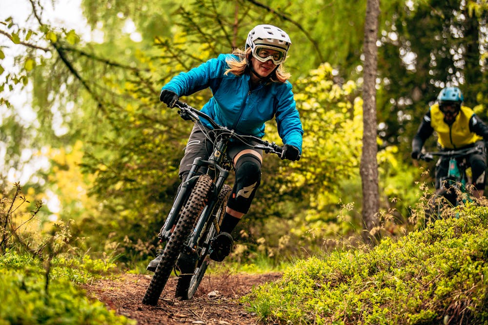
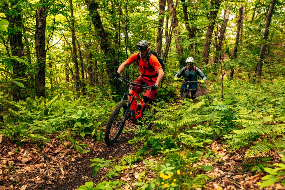
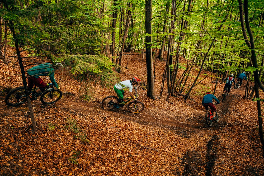
An all-mountain tour for bikers who love to reach the summit and then jump downhill, between technical sections and sliding sections where to release the brakes. Almost 1300 meters of non-stop negative altitude difference on the most fun single trails in the Orobie Alps.
Difficult
Mostly stable trail tread with some variability featuring larger and more unavoidable obstacles that may include, but not be limited to: bigger stones, roots, steps, and narrow curves. Compared to lower intermediate, technical difficulty is more advanced and grades of slopes are steeper. Ideal for upper intermediate riders.

The path is on completely flat land and potential injury is limited to falling over.

Away from help but easily accessed.
8 routes · Mountain Biking