
8 routes · Mountain Biking
Valtellina Ebike Festival
Mountain Biking Easy

This is a popular mountain biking route which is generally considered to be easy. It's not remote, it features low exposure and is typically done between February and October. From a low point of 203 m to the maximum altitude of 922 m, the route covers 37 km, 1213 vertical metres of ascent and 1213 vertical metres of descent.
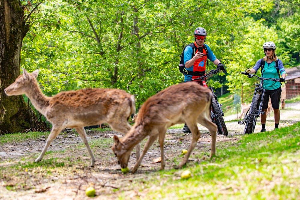
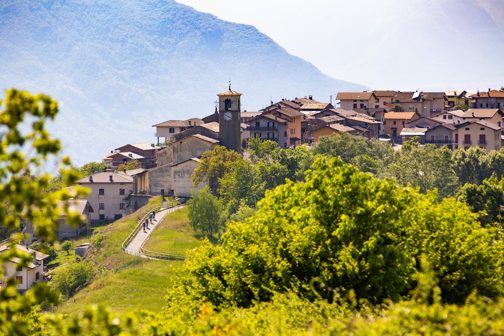
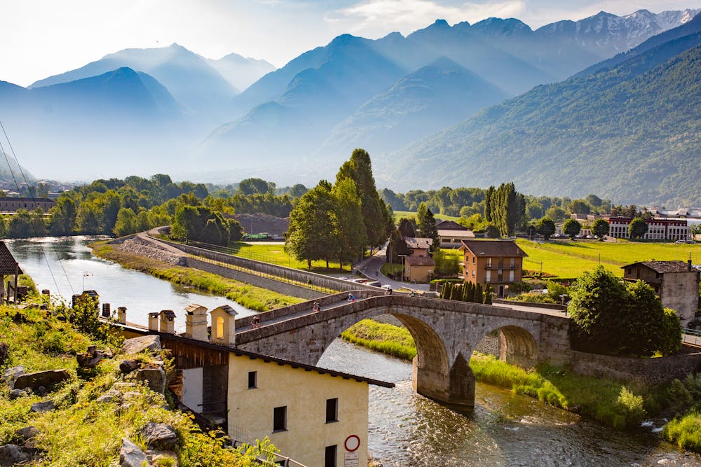
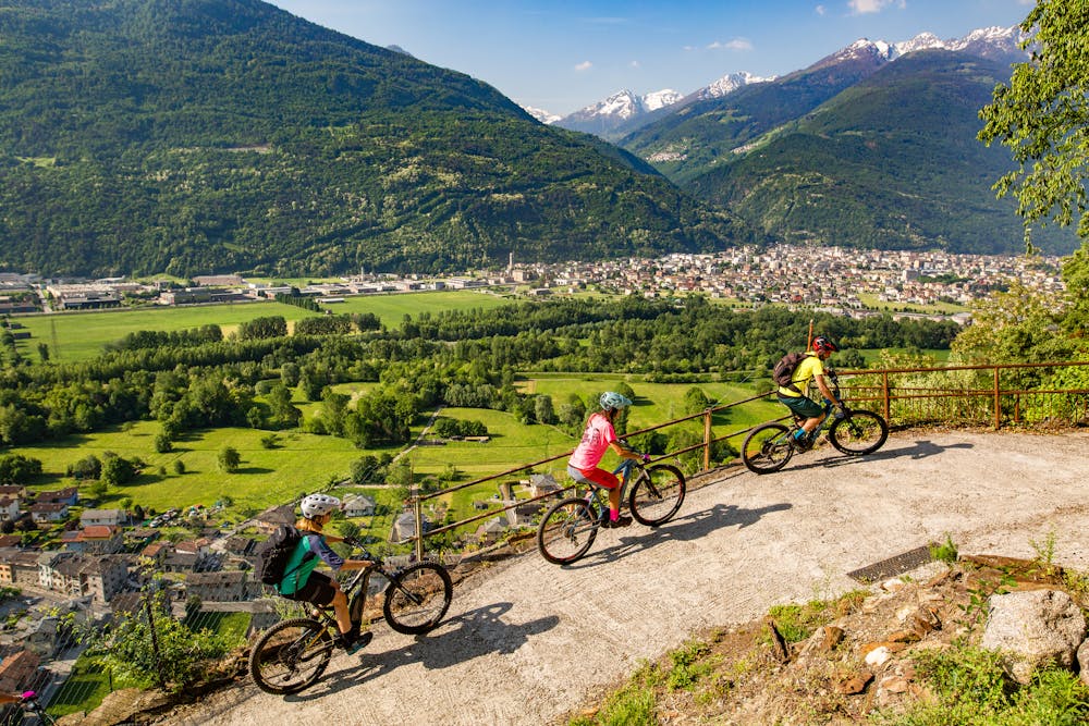
An easy, exciting and incredibly scenic route that crosses the Rhaetian side of the valley (Costiera dei Cech) among vineyards, castles, historic villages, glades, woods and panoramas that embrace the entire Lower Valtellina and the upper Lake Como.
Easy
Mostly smooth and non-technical singletrack with unavoidable obstacles 2in/5cm tall or less. Avoidable obstacles may be present. Ideal for beginner riders.

The path is on completely flat land and potential injury is limited to falling over.
Close to help in case of emergency.
8 routes · Mountain Biking