Chiesa in Valmalenco - Triangia - Lago di Colina
Colina is the place of "Red Deer"
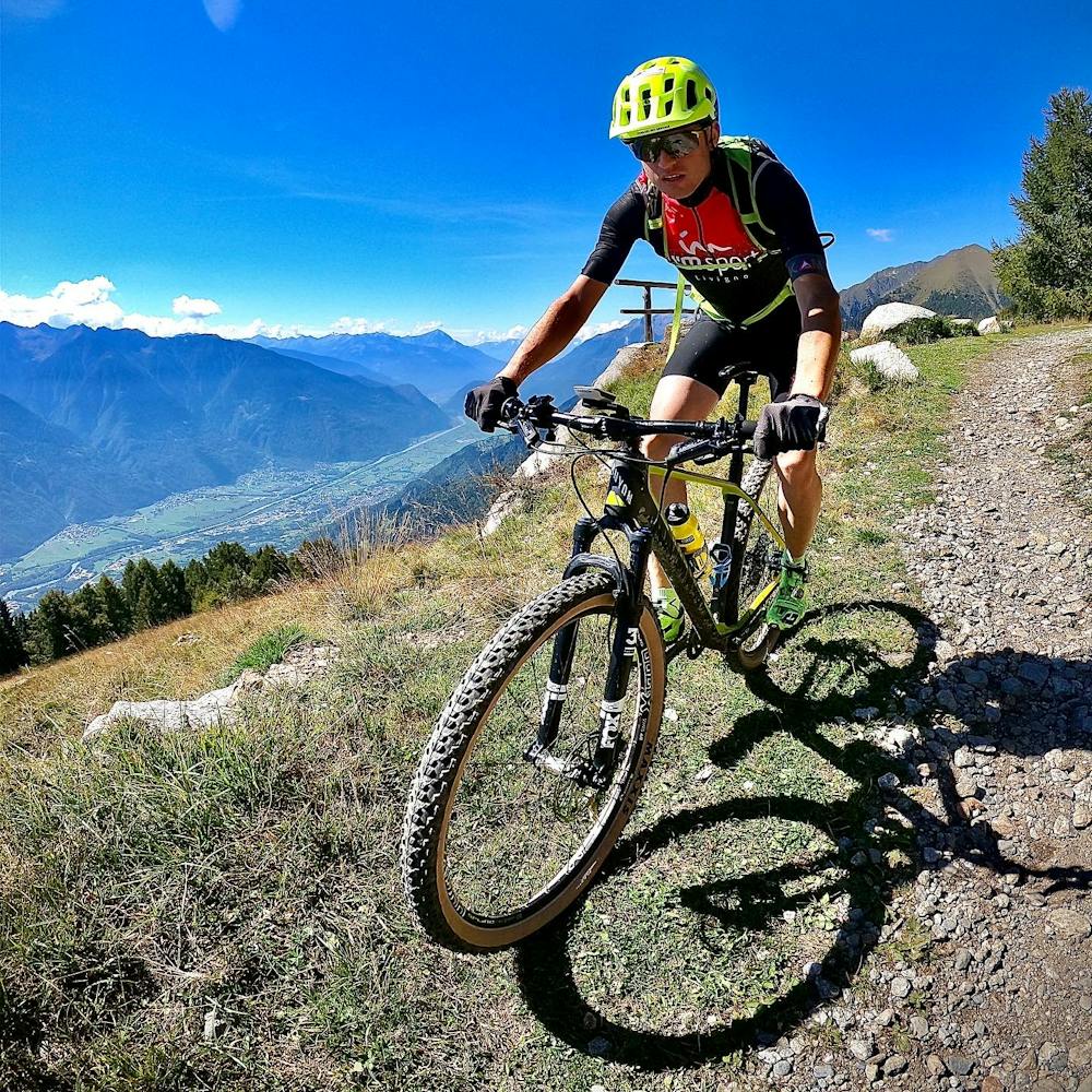
Mountain Biking Difficult
- Distance
- 70 km
- Ascent
- 2.7 km
- Descent
- 2.7 km
- Duration
- 7-8 hrs
- Low Point
- 451 m
- High Point
- 2.1 km
- Gradient
- 7˚

This is a popular mountain biking route which is generally considered to be difficult. It's remote, it features low exposure and is typically done between May and November. From a low point of 451 m to the maximum altitude of 2.1 km, the route covers 70 km, 2653 vertical metres of ascent and 2650 vertical metres of descent.
- •
- •
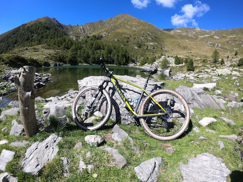
Description
Great cycling near Sondrio
Difficulty
Difficult
Mostly stable trail tread with some variability featuring larger and more unavoidable obstacles that may include, but not be limited to: bigger stones, roots, steps, and narrow curves. Compared to lower intermediate, technical difficulty is more advanced and grades of slopes are steeper. Ideal for upper intermediate riders.
Low Exposure

The path is on completely flat land and potential injury is limited to falling over.
Remoteness

Away from help but easily accessed.
Best time to visit
Features
- Hike a bike
- Road sections